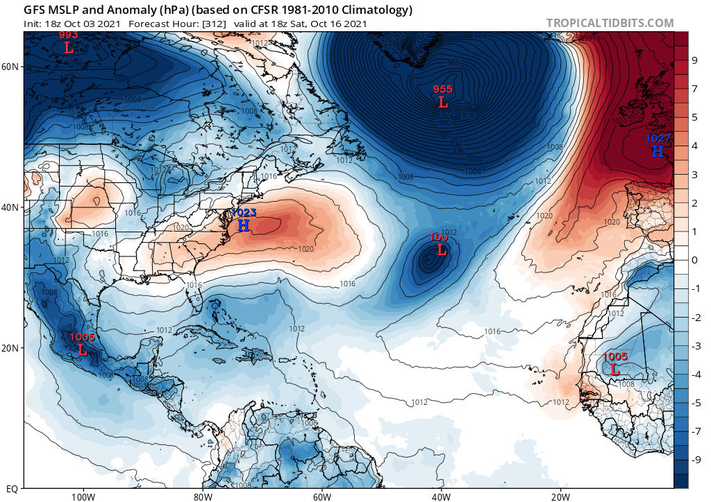
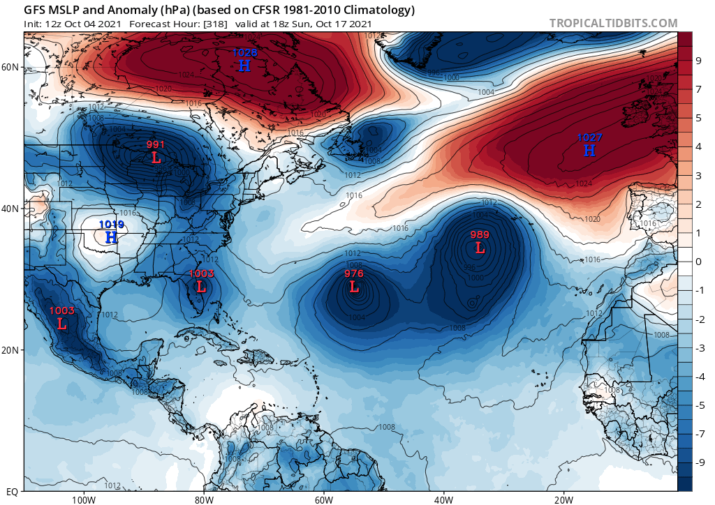
Ubuntwo wrote:12z GFS is more enthusiastic on the SWATL system which it has been on and off with for days. IMO that is the basin's best chance at a named storm over the next ten days. Still lacking model support outside the GFS.
Stewart just tagged it.
1. A surface trough located about 100 miles east of the southeastern
Bahamas is producing a large area of cloudiness and shower activity
along and to the east of the trough axis. Upper-level winds are
expected to be marginally conducive for slow development of this
system while it moves west-northwestward at around 10 mph through
Monday, followed by a slow northwestward motion through the end of
the week.
* Formation chance through 48 hours...low...10 percent.
* Formation chance through 5 days...low...20 percent.