crownweather wrote:Category5Kaiju wrote:Weather Dude wrote:You can't just "get rid of those three" and act like they didn't happen. Besides, the ones you dropped were most definitely Cat 4+ and had the wind damage to back it up too. I don't really know why you keep trying to say Laura wasn't a Cat 4, unless I'm missing something, some of the wind damage pics I've seen from Laura are worse than what I've seen from Ida (just wind damage, not including flood).
As far as "quality" seasons go, we've seen 6 consecutive above average seasons, likely to be 7 after this year, with 2 of those being hyperactive. Out of those 6 seasons, only two of them had less than 4 majors. What more could you want for "quality"? Every season setting a new record for ACE and majors? Not a single season during the -AMO phase from 1970 to 1994 had over 3 majors, and only 4 of those even had 3. You can't just base your argument over the number of Cat 4+ landfalls on the CONUS, especially when you just randomly throw some out for no reason.
There's no way we're in a -AMO
Also, I will add that in 2016, it was Matthew. In 2017, it was Maria. In 2018, it was Michael. In 2019, it was Dorian. In 2020, it was Iota. In 2021, it was Sam. Heck, I'll add 2015's Joaquin here. Notice how the strongest storm of each season has consecutively been a 155 mph+, very high end Cat 4 or solid Cat 5 storm. This, at least according to historical records, has never happened in so little time. Did the period from 1970-1994 feature this? I do not think so.
From a operational weather forecaster's perspective that has been forecasting tropical systems since the early to mid 1990s, the at least once per season major to very major hurricane landfall in either the Caribbean or on the US coast since 2015 is unprecedented to me. I've never had to pull out the catastrophic wording so many times in such a short period of time. Prior to 2015, I only used the catastrophic damage wording three times - Opal in 1995, Katrina in 2005 and Ike in 2008.
This, to me, says to me one of two possible things - (1) we are still very much in a +AMO phase in the Atlantic or (2) If we are in fact now in a -AMO phase, then the warming climate may actually be offsetting that -AMO leading it to act very much like a never ending +AMO.
The activity and frequency of Cat 4+ landfalls seems to be correlated with an active West African Monsoon/African Standing Wave. I believe it’s been extra strong ever since 2015, helping to offset the impacts of the 2014-16 Super Niño. The question is why the WAM/ASW has been so strong for this amount of time. I don’t know if there have been any studies looking into this, and whether or not its persistence has anything to do with anthropogenic climate change.
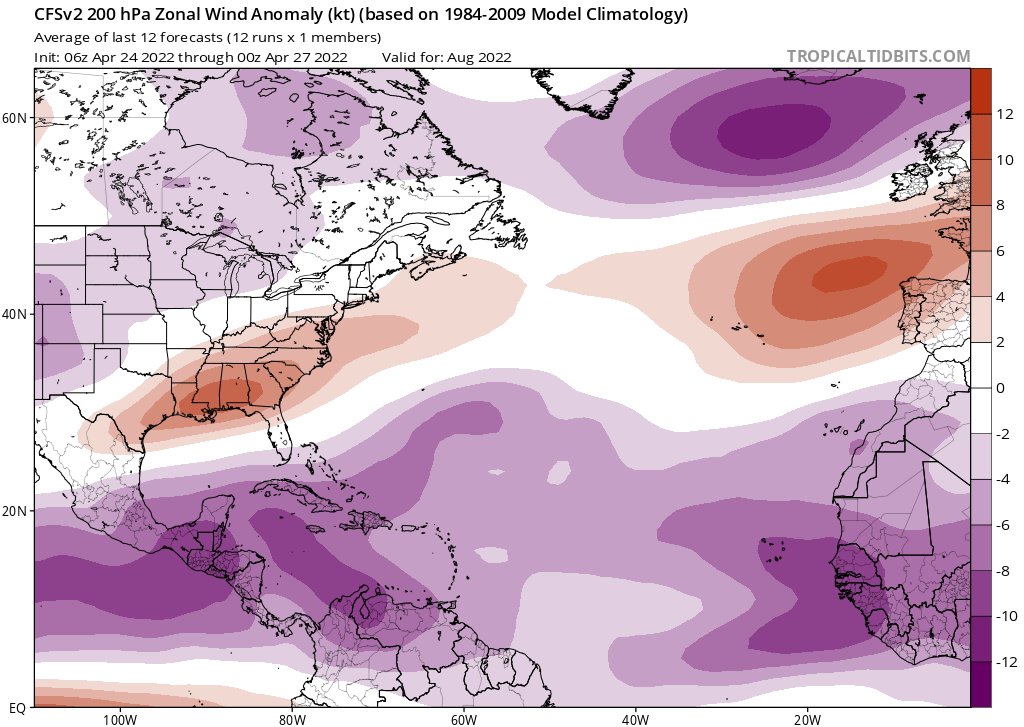
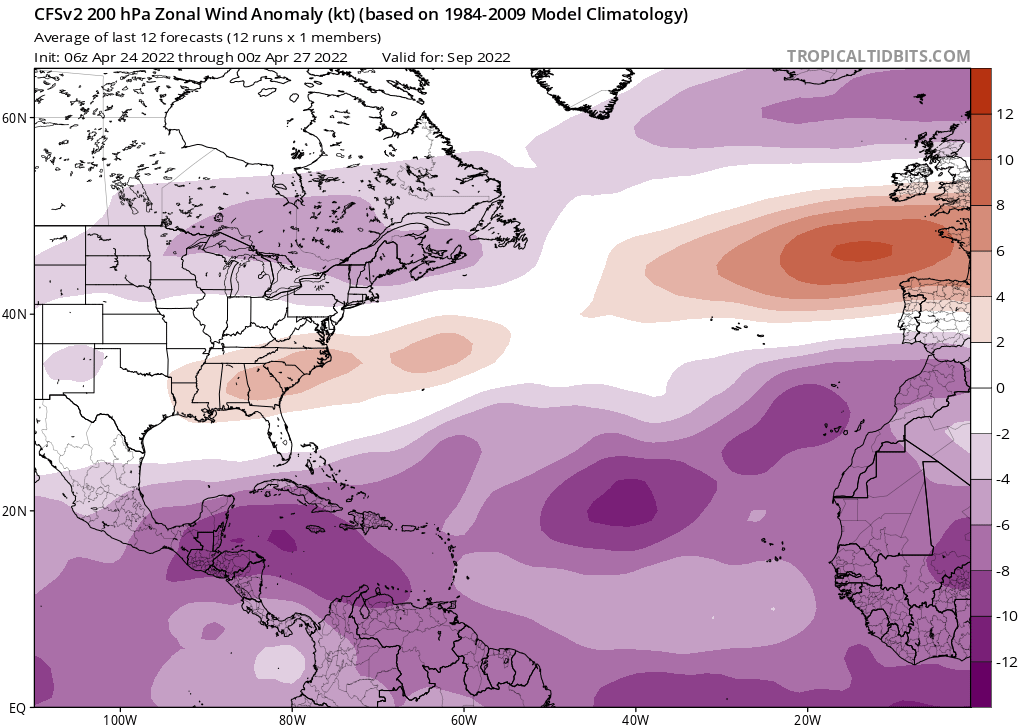
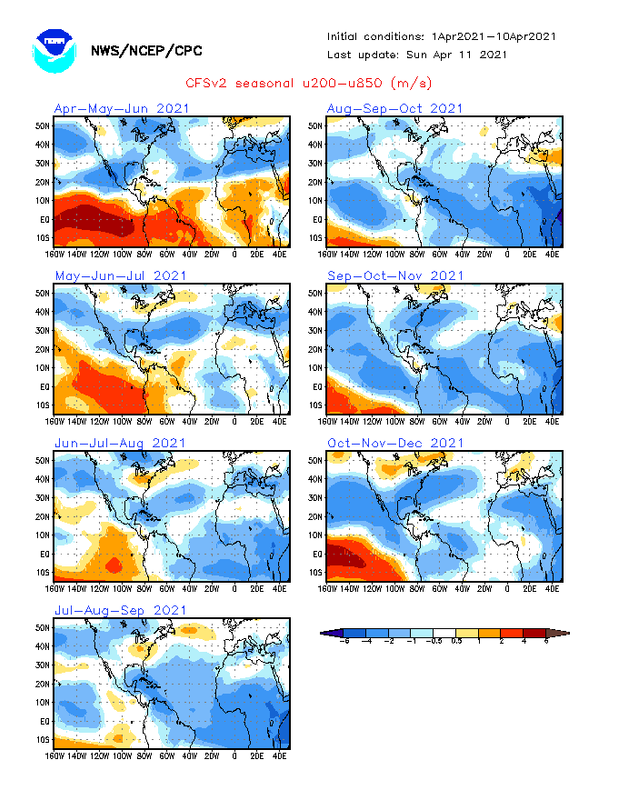
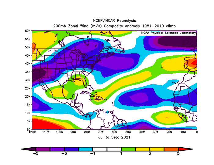
Also, the lack of a true El Niño since early 2016 has definitely been another key factor. 2016 transitioned out of the Niño, 2017 was cool-neutral, 2018-19 were warm-neutral/very weak Ninos (nowhere near strong enough to counter the WAM/ASW), and we’ve been stuck in a La Niña since 2020. Unless we get another strong Niño, this active streak with likely continue.
On the subject of AMO, the 15-day CRW SSTAs show that the -NAO is really trying to generate a +AMO pattern. Most of the NW Atl subtropic warm pool is cooling off while most of the MDR and Gulf have been warming up.


