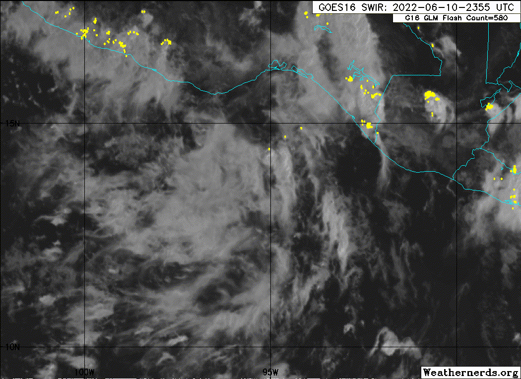
https://ftp.nhc.noaa.gov/atcf/btk/
EPAC: BLAS - Post-Tropical
Moderator: S2k Moderators
- Nancy Smar
- Category 5
- Posts: 1081
- Age: 23
- Joined: Wed Aug 16, 2017 10:03 pm
EPAC: BLAS - Post-Tropical
2 likes
- DorkyMcDorkface
- Category 2
- Posts: 698
- Age: 26
- Joined: Mon Sep 30, 2019 1:32 pm
- Location: Mid-Atlantic
Re: EPAC: INVEST 92E
Not seeing the unanimous support for a hurricane that we had with Agatha with a long lead time. Of course things could still swing that way over time but I'm thinking moderate-strong TS for now.
2 likes
Floyd 1999 | Isabel 2003 | Hanna 2008 | Irene 2011 | Sandy 2012 | Isaias 2020
-
- Category 5
- Posts: 7286
- Age: 38
- Joined: Thu Jul 06, 2017 1:51 am
Re: EPAC: INVEST 92E
0 likes
- Kingarabian
- S2K Supporter
- Posts: 15435
- Joined: Sat Aug 08, 2009 3:06 am
- Location: Honolulu, Hawaii
- Yellow Evan
- Professional-Met
- Posts: 15952
- Age: 25
- Joined: Fri Jul 15, 2011 12:48 pm
- Location: Henderson, Nevada/Honolulu, HI
- Contact:
Re: EPAC: INVEST 92E
000
ABPZ20 KNHC 111134
TWOEP
Tropical Weather Outlook
NWS National Hurricane Center Miami FL
500 AM PDT Sat Jun 11 2022
For the eastern North Pacific...east of 140 degrees west longitude:
Off the coast of southwestern Mexico:
A broad low pressure area located a couple of hundred miles south of
the southern coast of Mexico is producing some disorganized shower
activity. Environmental conditions are expected to be conducive for
gradual development of this system, and a tropical depression is
likely to form during the early or middle part of next week while
the system meanders off the southwestern coast of Mexico.
* Formation chance through 48 hours...low...30 percent.
* Formation chance through 5 days...high...80 percent.
$$
Forecaster Reinhart
0 likes
- Yellow Evan
- Professional-Met
- Posts: 15952
- Age: 25
- Joined: Fri Jul 15, 2011 12:48 pm
- Location: Henderson, Nevada/Honolulu, HI
- Contact:
- cycloneye
- Admin
- Posts: 139086
- Age: 67
- Joined: Thu Oct 10, 2002 10:54 am
- Location: San Juan, Puerto Rico
Re: EPAC: INVEST 92E
0 likes
Visit the Caribbean-Central America Weather Thread where you can find at first post web cams,radars
and observations from Caribbean basin members Click Here
- Yellow Evan
- Professional-Met
- Posts: 15952
- Age: 25
- Joined: Fri Jul 15, 2011 12:48 pm
- Location: Henderson, Nevada/Honolulu, HI
- Contact:
Re: EPAC: INVEST 92E
GFS further west and well offshore now but makes this stronger than ever.
0 likes
- cycloneye
- Admin
- Posts: 139086
- Age: 67
- Joined: Thu Oct 10, 2002 10:54 am
- Location: San Juan, Puerto Rico
Re: EPAC: INVEST 92E
HWRF has it as a cat 3.
0 likes
Visit the Caribbean-Central America Weather Thread where you can find at first post web cams,radars
and observations from Caribbean basin members Click Here
- cycloneye
- Admin
- Posts: 139086
- Age: 67
- Joined: Thu Oct 10, 2002 10:54 am
- Location: San Juan, Puerto Rico
Re: EPAC: INVEST 92E
No change.
Off the coast of southwestern Mexico:
Shower activity has changed little in organization since yesterday
in association with a broad low pressure area located a couple of
hundred miles south of the southern coast of Mexico. Environmental
conditions are expected to become conducive for gradual development
of this system, and a tropical depression is likely to form during
the early or middle part of next week while the system moves slowly
northwestward off the southwestern coast of Mexico.
* Formation chance through 48 hours...low...30 percent.
* Formation chance through 5 days...high...80 percent
0 likes
Visit the Caribbean-Central America Weather Thread where you can find at first post web cams,radars
and observations from Caribbean basin members Click Here
- Yellow Evan
- Professional-Met
- Posts: 15952
- Age: 25
- Joined: Fri Jul 15, 2011 12:48 pm
- Location: Henderson, Nevada/Honolulu, HI
- Contact:
Re: EPAC: INVEST 92E
I’m not seeing much signs of life with this invest. We’re probably >2 days away from genesis.
0 likes
- cycloneye
- Admin
- Posts: 139086
- Age: 67
- Joined: Thu Oct 10, 2002 10:54 am
- Location: San Juan, Puerto Rico
Re: EPAC: INVEST 92E
Off the coast of southwestern Mexico:
A broad low pressure area located a few hundred miles south of the
southwest coast of Mexico is producing a more concentrated area of
showers and thunderstorms this morning. Environmental conditions
are expected to become conducive for development of this system,
and a tropical depression is likely to form on Tuesday or Wednesday
while the system moves slowly northwestward off the southwestern
coast of Mexico.
* Formation chance through 48 hours...medium...40 percent.
* Formation chance through 5 days...high...90 percent.
0 likes
Visit the Caribbean-Central America Weather Thread where you can find at first post web cams,radars
and observations from Caribbean basin members Click Here
- MHC Tracking
- Tropical Storm
- Posts: 169
- Joined: Mon Mar 15, 2021 10:05 am
- cycloneye
- Admin
- Posts: 139086
- Age: 67
- Joined: Thu Oct 10, 2002 10:54 am
- Location: San Juan, Puerto Rico
Re: EPAC: INVEST 92E
Off the coast of southwestern Mexico:
Showers and thunderstorms have increased since yesterday in
association with a broad low pressure area located a few hundred
miles south of the southwest coast of Mexico. Environmental
conditions are forecast to become more conducive for further
development, and a tropical depression is likely to form on Tuesday
or Wednesday while the system moves slowly northwestward off the
southwestern coast of Mexico.
* Formation chance through 48 hours...medium...50 percent.
* Formation chance through 5 days...high...90 percent.
0 likes
Visit the Caribbean-Central America Weather Thread where you can find at first post web cams,radars
and observations from Caribbean basin members Click Here
-
- Category 5
- Posts: 7286
- Age: 38
- Joined: Thu Jul 06, 2017 1:51 am
Re: EPAC: INVEST 92E
1 likes
- Kingarabian
- S2K Supporter
- Posts: 15435
- Joined: Sat Aug 08, 2009 3:06 am
- Location: Honolulu, Hawaii
Re: EPAC: INVEST 92E
Still about 15-20kts of upper level shear over it.
15kts of mid shear as well.
0 likes
RIP Kobe Bryant
- cycloneye
- Admin
- Posts: 139086
- Age: 67
- Joined: Thu Oct 10, 2002 10:54 am
- Location: San Juan, Puerto Rico
Re: EPAC: INVEST 92E
Looks much better that the past 2 days.
0 likes
Visit the Caribbean-Central America Weather Thread where you can find at first post web cams,radars
and observations from Caribbean basin members Click Here
- Kingarabian
- S2K Supporter
- Posts: 15435
- Joined: Sat Aug 08, 2009 3:06 am
- Location: Honolulu, Hawaii
Re: EPAC: INVEST 92E
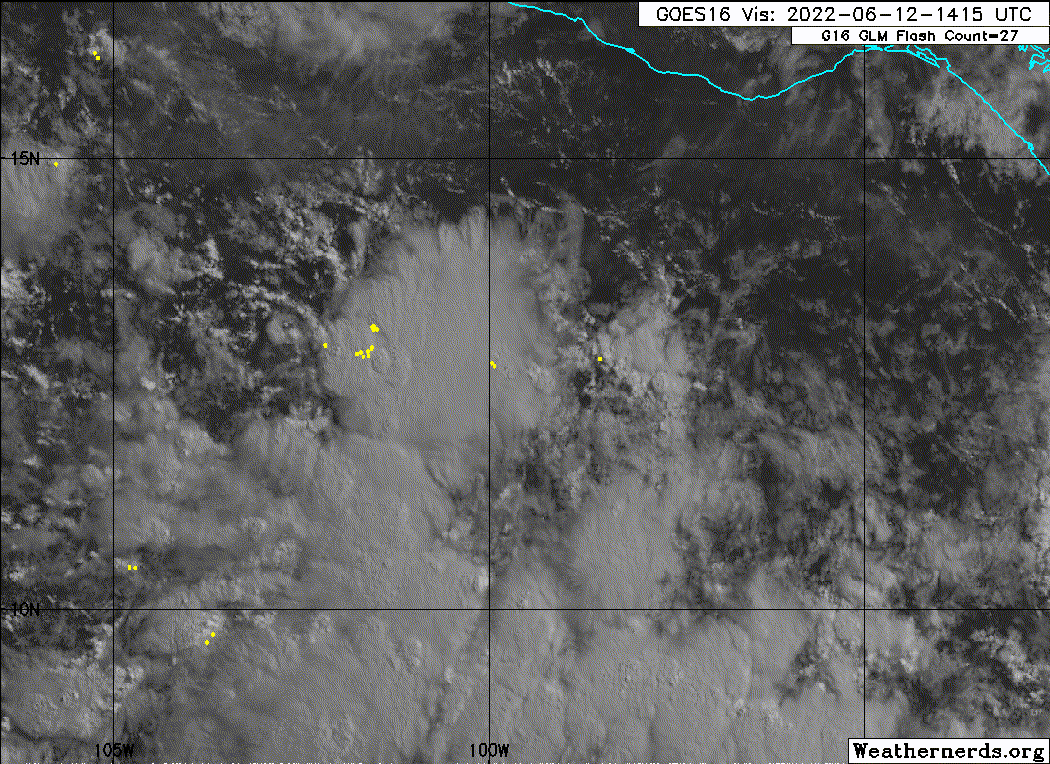
cycloneye wrote:Looks much better that the past 2 days.
Realistically won't develop until it's past 105W and away from the bulk of the shear. By that time it'll be fighting time over warm SSTs. So I'm on the fence with this one.
0 likes
RIP Kobe Bryant
- Yellow Evan
- Professional-Met
- Posts: 15952
- Age: 25
- Joined: Fri Jul 15, 2011 12:48 pm
- Location: Henderson, Nevada/Honolulu, HI
- Contact:
Re: EPAC: INVEST 92E
This has convection now at least but probably needs another D-Min or two to develop a well-defined center.
0 likes
Who is online
Users browsing this forum: No registered users and 55 guests