2022 EPAC Season
Moderator: S2k Moderators
Forum rules

The posts in this forum are NOT official forecasts and should not be used as such. They are just the opinion of the poster and may or may not be backed by sound meteorological data. They are NOT endorsed by any professional institution or STORM2K. For official information, please refer to products from the National Hurricane Center and National Weather Service.
-
Kingarabian

- S2K Supporter

- Posts: 15437
- Joined: Sat Aug 08, 2009 3:06 am
- Location: Honolulu, Hawaii
Re: 2022 EPAC Season
I think the next AOi has a good shot at becoming the next named system regardless of what the globals are showing. But the models are trending towards showing this burst of activity ending soon.
0 likes
RIP Kobe Bryant
-
Yellow Evan

- Professional-Met

- Posts: 15954
- Age: 25
- Joined: Fri Jul 15, 2011 12:48 pm
- Location: Henderson, Nevada/Honolulu, HI
- Contact:
Re: 2022 EPAC Season
GFS and ECMWF and their ensembles still have TCG in the long range. I think we got a couple systems left in this burst before the tropics calm down.
0 likes
-
skyline385

- Category 5

- Posts: 2444
- Age: 33
- Joined: Wed Aug 26, 2020 11:15 pm
- Location: Palm Beach County FL
2022 EPAC Season
Kingarabian wrote:I think the next AOi has a good shot at becoming the next named system regardless of what the globals are showing. But the models are trending towards showing this burst of activity ending soon.
Todays weekly went up in activity for first week of August, it’s predicting a drop in activity after mid-August. Looks like the party continues.


0 likes
-
cycloneye

- Admin

- Posts: 139126
- Age: 67
- Joined: Thu Oct 10, 2002 10:54 am
- Location: San Juan, Puerto Rico
Re: 2022 EPAC Season
Tropical Weather Outlook
NWS National Hurricane Center Miami FL
500 AM PDT Fri Jul 22 2022
For the eastern North Pacific...east of 140 degrees west longitude:
1. Offshore of Southern Mexico:
Showers and thunderstorms located several hundred miles offshore of
southern Mexico have weakened since yesterday in association with
an elongated trough of low pressure. Development, if any, is
expected to be slow to occur as the trough moves slowly westward or
west-northwestward at 5 to 10 mph through early next week.
* Formation chance through 48 hours...low...10 percent.
* Formation chance through 5 days...low...10 percent.
2. Offshore of Central America and Southern Mexico:
An area of low pressure is forecast to develop in a few days several
hundred miles offshore of the coasts of El Salvador, Guatemala, and
southern Mexico. Some gradual development of this system is possible
thereafter while the system moves generally westward at 10 to 15 mph
through early next week.
* Formation chance through 48 hours...low...near 0 percent.
* Formation chance through 5 days...low...20 percent.
Forecaster Blake
0 likes
Visit the Caribbean-Central America Weather Thread where you can find at first post web cams,radars
and observations from Caribbean basin members Click Here
and observations from Caribbean basin members Click Here
-
Kingarabian
- S2K Supporter
- Posts: 15437
- Joined: Sat Aug 08, 2009 3:06 am
- Location: Honolulu, Hawaii
Re: 2022 EPAC Season
Models back to consistently developing the first AOI. Looks to be a sheared system for the first 5 days of its life. Possible it becomes a hurricane down the line, but the models are giving this system a track closer to the Nina shear, similar to Estelle and many other past systems that struggled.
0 likes
RIP Kobe Bryant
-
Yellow Evan
- Professional-Met
- Posts: 15954
- Age: 25
- Joined: Fri Jul 15, 2011 12:48 pm
- Location: Henderson, Nevada/Honolulu, HI
- Contact:
Re: 2022 EPAC Season
The 10/10 is already by 105W. GFS has TCG by 95W so it’s the second AOI. Second AOI is currently by 89 W by El Salvador.


There isn’t really any “Niña shear” here. The second AOI might have the best upper level setup of any TC we see here which considering we are about to get MJO support for the first time since mid-June, and we are near the peak of the hurricane season in this basin assuming the Atlantic wakes up and steals the rising motion and some AEW.
There isn’t really any “Niña shear” here. The second AOI might have the best upper level setup of any TC we see here which considering we are about to get MJO support for the first time since mid-June, and we are near the peak of the hurricane season in this basin assuming the Atlantic wakes up and steals the rising motion and some AEW.
0 likes
-
cycloneye
- Admin
- Posts: 139126
- Age: 67
- Joined: Thu Oct 10, 2002 10:54 am
- Location: San Juan, Puerto Rico
Re: 2022 EPAC Season
Tropical Weather Outlook
NWS National Hurricane Center Miami FL
500 PM PDT Fri Jul 22 2022
For the eastern North Pacific...east of 140 degrees west longitude:
1. Offshore of Southwestern Mexico:
A surface trough continues to produce disorganized showers and
thunderstorms several hundred miles south of the coast of
southwestern Mexico. Development, if any, of this system is
expected to be slow to occur as the trough moves slowly westward or
west-northwestward through early next week.
* Formation chance through 48 hours...low...10 percent.
* Formation chance through 5 days...low...10 percent.
2. Offshore of Central America and Southern Mexico:
An area of low pressure is forecast to form late this weekend
a few hundred miles south of extreme southeastern Mexico. Gradual
development is possible thereafter, and a tropical depression could
form by the middle of next week while the system moves generally
westward at 10 to 15 mph.
* Formation chance through 48 hours...low...near 0 percent.
* Formation chance through 5 days...medium...40 percent.
Forecaster Cangialosi
2 likes
Visit the Caribbean-Central America Weather Thread where you can find at first post web cams,radars
and observations from Caribbean basin members Click Here
and observations from Caribbean basin members Click Here
-
Kingarabian
- S2K Supporter
- Posts: 15437
- Joined: Sat Aug 08, 2009 3:06 am
- Location: Honolulu, Hawaii
Re: 2022 EPAC Season
Yellow Evan wrote:The 10/10 is already by 105W. GFS has TCG by 95W so it’s the second AOI. Second AOI is currently by 89 W by El Salvador.
https://media.discordapp.net/attachments/733552978572869632/1000103620211122286/IMG_0711.png
https://cdn.discordapp.com/attachments/733552978572869632/1000103669880074240/IMG_0712.png
There isn’t really any “Niña shear” here. The second AOI might have the best upper level setup of any TC we see here which considering we are about to get MJO support for the first time since mid-June, and we are near the peak of the hurricane season in this basin assuming the Atlantic wakes up and steals the rising motion and some AEW.
http://www.atmos.albany.edu/student/ventrice/real_time/maps/waves/global/28.gif
Models have been notorious in over doing intensity/under doing shear in this area the past couple years, this year included.
Simulated IR which goes out 4.5 days on the GFS screams easterly shear anyway.
0 likes
RIP Kobe Bryant
-
Yellow Evan
- Professional-Met
- Posts: 15954
- Age: 25
- Joined: Fri Jul 15, 2011 12:48 pm
- Location: Henderson, Nevada/Honolulu, HI
- Contact:
Re: 2022 EPAC Season

Less conducive upper level setup compared to 18z with the 0/40. The eastern system looks boom though setup wise on this run.

GFS now showing something near the CPAC.
0 likes
-
MHC Tracking

- Tropical Storm

- Posts: 169
- Joined: Mon Mar 15, 2021 10:05 am
Re: 2022 EPAC Season
Yellow Evan wrote:https://media.discordapp.net/attachments/733552978572869632/1000255213741035620/IMG_0735.png
Less conducive upper level setup compared to 18z with the 0/40. The eastern system looks boom though setup wise on this run.
https://media.discordapp.net/attachments/733552978572869632/1000254661045006356/IMG_0734.png
GFS now showing something near the CPAC.
I feel like we had this exact same story with the former 0/30 and the current 0/50...stronger system appears on models and gains support, while the primary weaker AOI downtrends into a low. I get the feeling it'll be rinse and repeat here.
0 likes
-
cycloneye
- Admin
- Posts: 139126
- Age: 67
- Joined: Thu Oct 10, 2002 10:54 am
- Location: San Juan, Puerto Rico
Re: 2022 EPAC Season
Tropical Weather Outlook
NWS National Hurricane Center Miami FL
500 AM PDT Sat Jul 23 2022
For the eastern North Pacific...east of 140 degrees west longitude:
1. Offshore of Southwestern Mexico:
Satellite-derived surface wind data indicate that the surface
trough located several hundred miles south-southwest of the coast
of southwestern Mexico has become less defined while producing
limited shower activity. Therefore, the development of this system
is no longer anticipated.
* Formation chance through 48 hours...low...near 0 percent.
* Formation chance through 5 days...low...near 0 percent.
2. Offshore of Central America and Southern Mexico:
An area of low pressure is forecast to form during the next day or
two a few hundred miles south of extreme southeastern Mexico.
Gradual development is expected thereafter, and a tropical
depression could form by the middle of next week while the system
moves generally westward at 10 to 15 mph.
* Formation chance through 48 hours...low...near 0 percent.
* Formation chance through 5 days...medium...60 percent.
Forecaster Roberts/Brown
0 likes
Visit the Caribbean-Central America Weather Thread where you can find at first post web cams,radars
and observations from Caribbean basin members Click Here
and observations from Caribbean basin members Click Here
-
cycloneye
- Admin
- Posts: 139126
- Age: 67
- Joined: Thu Oct 10, 2002 10:54 am
- Location: San Juan, Puerto Rico
Re: 2022 EPAC Season
Tropical Weather Outlook
NWS National Hurricane Center Miami FL
1100 AM PDT Sat Jul 23 2022
For the eastern North Pacific...east of 140 degrees west longitude:
1. Offshore of Central America and Southern Mexico:
Disorganized showers and thunderstorms located a few hundred miles
south of the coast of Guatemala are associated with a tropical
wave. Environmental conditions are expected to be conducive for
gradual development of this system over the next several days, and
a tropical depression is likely to form by the middle of next week.
The disturbance is forecast to move generally westward at 10 to
15 mph remaining well south of the coast of southern Mexico.
* Formation chance through 48 hours...low...10 percent.
* Formation chance through 5 days...high...70 percent.
Forecaster Brown
0 likes
Visit the Caribbean-Central America Weather Thread where you can find at first post web cams,radars
and observations from Caribbean basin members Click Here
and observations from Caribbean basin members Click Here
-
ElectricStorm

- Category 5
- Posts: 4566
- Age: 23
- Joined: Tue Aug 13, 2019 11:23 pm
- Location: Skiatook, OK / Norman, OK
Re: 2022 EPAC Season
12z GFS peaks the 10/70 AOI at 979mb and then has a major hurricane form behind it. Not really sure how realistic that is but maybe we can get a decent hurricane out of this before the Atlantic takes over in a few weeks.
0 likes
I am in no way a professional. Take what I say with a grain of salt as I could be totally wrong. Please refer to the NHC, NWS, or SPC for official information.
Boomer Sooner!
Boomer Sooner!
-
Yellow Evan
- Professional-Met
- Posts: 15954
- Age: 25
- Joined: Fri Jul 15, 2011 12:48 pm
- Location: Henderson, Nevada/Honolulu, HI
- Contact:
Re: 2022 EPAC Season
CMC and ECMWF and their ensembles seem pretty unenthusiastic aside from the current AOI. GFS is the inverse still. I don’t like the lack of consensus here still after several days and am definitely less bullish on this MJO outbreak than before.
Last edited by Yellow Evan on Sun Jul 24, 2022 9:18 am, edited 1 time in total.
0 likes
-
cycloneye
- Admin
- Posts: 139126
- Age: 67
- Joined: Thu Oct 10, 2002 10:54 am
- Location: San Juan, Puerto Rico
Re: 2022 EPAC Season
Tropical Weather Outlook
NWS National Hurricane Center Miami FL
500 AM PDT Sun Jul 24 2022
For the eastern North Pacific...east of 140 degrees west longitude:
Offshore of Central America and Southern Mexico:
Shower and thunderstorm activity has increased but remains
disorganized in association with a tropical wave located a couple of
hundred miles off the coast of southeastern Mexico. Environmental
conditions are forecast to be conducive for gradual development of
this system, and a tropical depression is likely to form by the
middle of this week. The disturbance is forecast to move generally
westward at 10 to 15 mph, remaining well south of the coast of
southern and southwestern Mexico during the next several days.
* Formation chance through 48 hours...low...30 percent.
* Formation chance through 5 days...high...80 percent.
$$
Forecaster Papin
0 likes
Visit the Caribbean-Central America Weather Thread where you can find at first post web cams,radars
and observations from Caribbean basin members Click Here
and observations from Caribbean basin members Click Here
-
cycloneye
- Admin
- Posts: 139126
- Age: 67
- Joined: Thu Oct 10, 2002 10:54 am
- Location: San Juan, Puerto Rico
Re: 2022 EPAC Season
Tropical Weather Outlook
NWS National Hurricane Center Miami FL
1100 AM PDT Sun Jul 24 2022
For the eastern North Pacific...east of 140 degrees west longitude:
Offshore of Southeastern Mexico:
Showers and thunderstorms are starting to show signs of organization
associated with a tropical wave located a couple of hundred miles
south off the coast of southeastern Mexico. Environmental conditions
appear conducive for further development, and this system is likely
to become a tropical depression by the middle part of this week.
This system is forecast to move generally westward at 10 to 15 mph,
remaining well south of the coast of southern and southwestern
Mexico during the next several days.
* Formation chance through 48 hours...medium...40 percent.
* Formation chance through 5 days...high...80 percent.
$$
Forecaster Papin
0 likes
Visit the Caribbean-Central America Weather Thread where you can find at first post web cams,radars
and observations from Caribbean basin members Click Here
and observations from Caribbean basin members Click Here
-
cycloneye
- Admin
- Posts: 139126
- Age: 67
- Joined: Thu Oct 10, 2002 10:54 am
- Location: San Juan, Puerto Rico
Re: 2022 EPAC Season
0 likes
Visit the Caribbean-Central America Weather Thread where you can find at first post web cams,radars
and observations from Caribbean basin members Click Here
and observations from Caribbean basin members Click Here
-
Kingarabian
- S2K Supporter
- Posts: 15437
- Joined: Sat Aug 08, 2009 3:06 am
- Location: Honolulu, Hawaii
Re: 2022 EPAC Season
Models showing 97E struggling quite a bit. They're also realizing it's not 2018 anymore.
0 likes
RIP Kobe Bryant
-
Yellow Evan
- Professional-Met
- Posts: 15954
- Age: 25
- Joined: Fri Jul 15, 2011 12:48 pm
- Location: Henderson, Nevada/Honolulu, HI
- Contact:
Re: 2022 EPAC Season
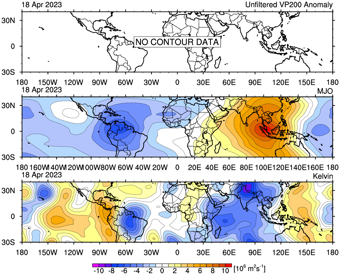
MJO is moving too fast for it to linger around and give us multiple TC’s. A sign of the strong La Niña atmospheric state.
0 likes
-
cycloneye
- Admin
- Posts: 139126
- Age: 67
- Joined: Thu Oct 10, 2002 10:54 am
- Location: San Juan, Puerto Rico
Re: 2022 EPAC Season
So the party that EPAC has been thru will be over after Frank is gone?
0 likes
Visit the Caribbean-Central America Weather Thread where you can find at first post web cams,radars
and observations from Caribbean basin members Click Here
and observations from Caribbean basin members Click Here
Who is online
Users browsing this forum: Christiana, Stratton23, Teban54 and 167 guests