ATL: IAN - Post-Tropical - Discussion
Moderator: S2k Moderators
-
Rail Dawg
- S2K Supporter

- Posts: 326
- Joined: Mon Aug 27, 2012 5:02 pm
- Location: Where the eye makes landfall.
Re: ATL: IAN - Hurricane - Discussion
I went to sleep in my truck in a parking garage in Panama City, FL the night before Hurricane Michael hit. It was a Cat 2 and when I woke up it was a Cat 5.
185mph gusts are a thing to see first-hand. Video doesn’t capture the power.
NHC is good on direction they are still learning about intensity forecasts.
Prepare for Cat 5. These things can ramp quickly.
Good luck everyone!
Chuck
185mph gusts are a thing to see first-hand. Video doesn’t capture the power.
NHC is good on direction they are still learning about intensity forecasts.
Prepare for Cat 5. These things can ramp quickly.
Good luck everyone!
Chuck
16 likes
Although I have been a hurricane forecaster since 1980 that only means I've been wrong lots of times.
Re: ATL: IAN - Hurricane - Discussion
Rail Dawg wrote:I went to sleep in my truck in a parking garage in Panama City, FL the night before Hurricane Michael hit. It was a Cat 2 and when I woke up it was a Cat 5.
185mph gusts are a thing to see first-hand. Video doesn’t capture the power.
NHC is good on direction they are still learning about intensity forecasts.
Prepare for Cat 5. These things can ramp quickly.
Good luck everyone!
Chuck
Good luck Chuck and stay safe. I know you will.
5 likes
Re: ATL: IAN - Hurricane - Discussion
edu2703 wrote:cycloneye wrote:Anyone has the closeup view of trayectory with the line?
https://i.imgur.com/fyvdsyC.png
For those of us in tampa,st pete, and like me in land o lakes, this track is so much better. Hopefully my now complacency today doesn't end up biting me
1 likes
- Blown Away
- S2K Supporter

- Posts: 10253
- Joined: Wed May 26, 2004 6:17 am
Re: RE: Re: ATL: IAN - Hurricane - Discussion
jlauderdal wrote:Remember Irene?Blown Away wrote:https://i.imgur.com/Mcooqnp.gif
Amazing this NE movement, little burst of acceleration in last few frames.
Same thing, in the 24-36 window it kept creeping E from SWFL landfall to extreme southern Fl then out up just N of PBC.
2 likes
Hurricane Eye Experience: David 79, Irene 99, Frances 04, Jeanne 04, Wilma 05… Hurricane Brush Experience: Andrew 92, Erin 95, Floyd 99, Matthew 16, Irma 17, Ian 22, Nicole 22…
Re: ATL: IAN - Hurricane - Discussion
Per NBC 6 in Miami, Miami-Dade cancelling all classes tomorrow and Thursday. Broward has only announced tomorrow closure.
2 likes
Re: ATL: IAN - Hurricane - Discussion
psyclone wrote:We're going to end up emptying out tampa bay rather overflowing it.
Yes indeed. Good news on the most deadly surge front for Tampa Bay and Pinellas barrier islands. Appears Venice, Englewood, Port Charlotte, Punta Gorda, and Ft Myers will get the brunt of surge now.
2 likes
- SouthFLTropics
- Category 5

- Posts: 4258
- Age: 50
- Joined: Thu Aug 14, 2003 8:04 am
- Location: Port St. Lucie, Florida
Re: RE: Re: ATL: IAN - Hurricane - Discussion
CourierPR wrote:jlauderdal wrote:Remember Irene?Blown Away wrote:https://i.imgur.com/Mcooqnp.gif
Amazing this NE movement, little burst of acceleration in last few frames.
I remember how we were told Irene would pass well to our west in the GOM, then suddenly it was headed toward the southern FL peninsula.
I remember Irene 1999 well... Had really no time for preps... she snuck in like a thief in the night and was gone by morning. Unfortunately, Ian is Irene on steroids. We're dealing with a different animal here. These western Caribbean storms are tricky.
4 likes
Fourth Generation Florida Native
Personal Storm History: David 79, Andrew 92, Erin 95, Floyd 99, Irene 99, Frances 04, Jeanne 04, Wilma 05, Matthew 16, Irma 17, Ian 22, Nicole 22, Milton 24
Personal Storm History: David 79, Andrew 92, Erin 95, Floyd 99, Irene 99, Frances 04, Jeanne 04, Wilma 05, Matthew 16, Irma 17, Ian 22, Nicole 22, Milton 24
- weeniepatrol
- Category 5

- Posts: 1339
- Joined: Sat Aug 22, 2020 5:30 pm
- Location: WA State
- SouthFLTropics
- Category 5

- Posts: 4258
- Age: 50
- Joined: Thu Aug 14, 2003 8:04 am
- Location: Port St. Lucie, Florida
Re: ATL: IAN - Hurricane - Discussion
All St. Lucie County District Public Schools have cancelled for Wednesday and Thursday.
2 likes
Fourth Generation Florida Native
Personal Storm History: David 79, Andrew 92, Erin 95, Floyd 99, Irene 99, Frances 04, Jeanne 04, Wilma 05, Matthew 16, Irma 17, Ian 22, Nicole 22, Milton 24
Personal Storm History: David 79, Andrew 92, Erin 95, Floyd 99, Irene 99, Frances 04, Jeanne 04, Wilma 05, Matthew 16, Irma 17, Ian 22, Nicole 22, Milton 24
Re: ATL: IAN - Hurricane - Discussion
Stadium effect incoming.
4 likes
Igor 2010, Sandy 2012, Fay 2014, Gonzalo 2014, Joaquin 2015, Nicole 2016, Humberto 2019, Imelda 2025
I am only a tropical weather enthusiast. My predictions are not official and may or may not be backed by sound meteorological data. For official information, please refer to the NHC and NWS products.
I am only a tropical weather enthusiast. My predictions are not official and may or may not be backed by sound meteorological data. For official information, please refer to the NHC and NWS products.
- eastcoastFL
- Category 5

- Posts: 3996
- Age: 44
- Joined: Thu Apr 12, 2007 12:29 pm
- Location: Palm City, FL
Re: ATL: IAN - Hurricane - Discussion
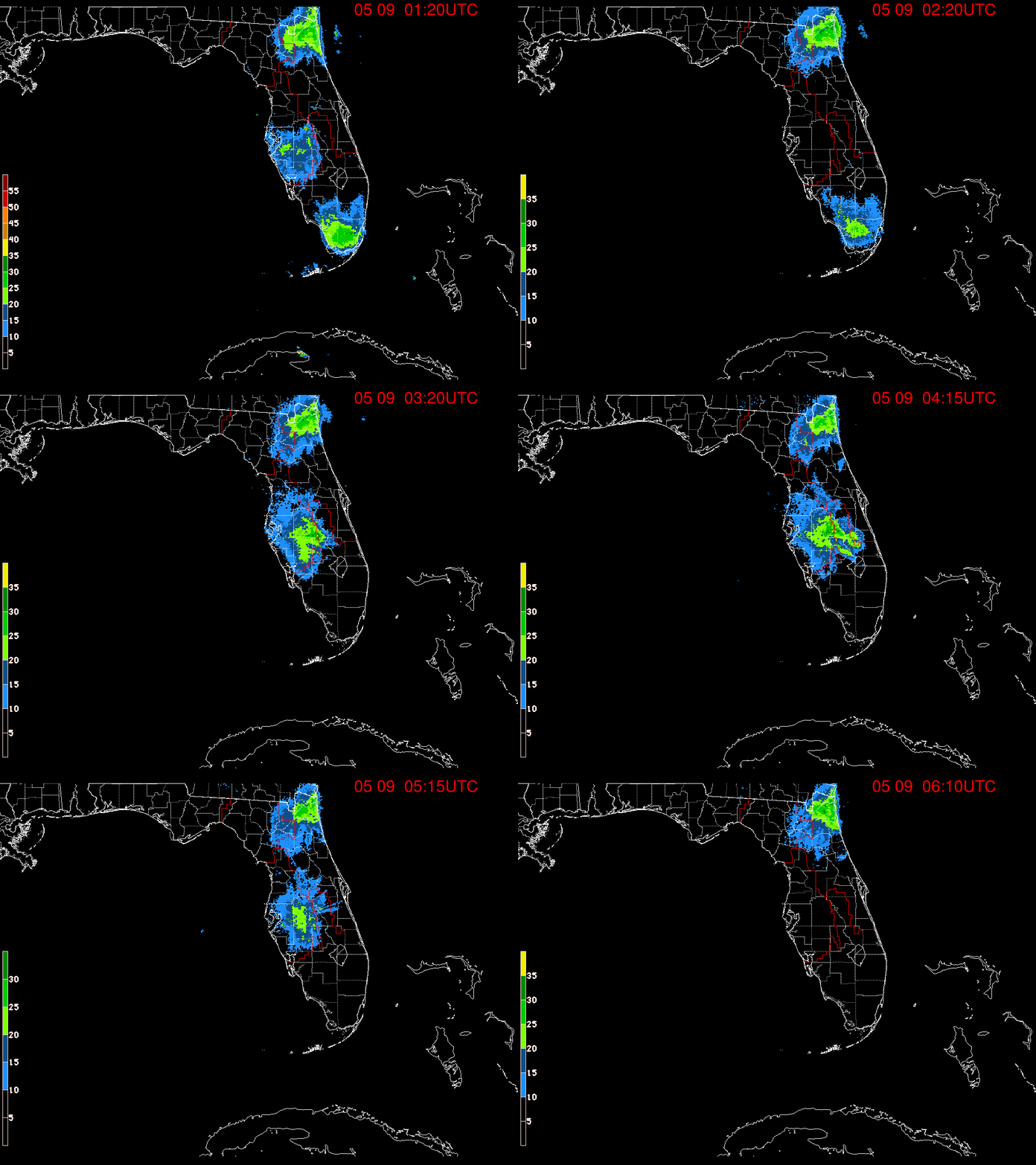
When you look at the NHC line on the SFWMD radar the shift east at 11am seems more pronounced


2 likes
Personal Forecast Disclaimer:
The posts in this forum are NOT official forecast and should not be used as such. They are just the opinion of the poster and may or may not be backed by sound meteorological data. They are NOT endorsed by any professional institution or storm2k.org. For official information, please refer to the NHC and NWS products.
The posts in this forum are NOT official forecast and should not be used as such. They are just the opinion of the poster and may or may not be backed by sound meteorological data. They are NOT endorsed by any professional institution or storm2k.org. For official information, please refer to the NHC and NWS products.
-
Rail Dawg
- S2K Supporter

- Posts: 326
- Joined: Mon Aug 27, 2012 5:02 pm
- Location: Where the eye makes landfall.
Re: ATL: IAN - Hurricane - Discussion
GCANE wrote:Rail Dawg wrote:
Good luck Chuck and stay safe. I know you will.
Gcane you’ve been a big help here over the years. It’s appreciated.
Chuck
5 likes
Although I have been a hurricane forecaster since 1980 that only means I've been wrong lots of times.
- weeniepatrol
- Category 5

- Posts: 1339
- Joined: Sat Aug 22, 2020 5:30 pm
- Location: WA State
Re: ATL: IAN - Hurricane - Discussion
Rail Dawg wrote:GCANE wrote:Rail Dawg wrote:
Good luck Chuck and stay safe. I know you will.
Gcane you’ve been a big help here over the years. It’s appreciated.
Chuck
You chasing this one?
1 likes
- eastcoastFL
- Category 5

- Posts: 3996
- Age: 44
- Joined: Thu Apr 12, 2007 12:29 pm
- Location: Palm City, FL
Re: ATL: IAN - Hurricane - Discussion
The TS wind field expanded a bit
Hurricane-force winds extend outward up to 35 miles (55 km) from the
center and tropical-storm-force winds extend outward up to 140 miles
(220 km).
Hurricane-force winds extend outward up to 35 miles (55 km) from the
center and tropical-storm-force winds extend outward up to 140 miles
(220 km).
1 likes
Personal Forecast Disclaimer:
The posts in this forum are NOT official forecast and should not be used as such. They are just the opinion of the poster and may or may not be backed by sound meteorological data. They are NOT endorsed by any professional institution or storm2k.org. For official information, please refer to the NHC and NWS products.
The posts in this forum are NOT official forecast and should not be used as such. They are just the opinion of the poster and may or may not be backed by sound meteorological data. They are NOT endorsed by any professional institution or storm2k.org. For official information, please refer to the NHC and NWS products.
Re: ATL: IAN - Hurricane - Discussion
eastcoastFL wrote:When you look at the NHC line on the SFWMD radar the shift east at 11am seems more pronounced
https://apps.sfwmd.gov/sfwmd/common/images/weather/noaaport/radar_flanim.gif
I wonder what the rainfall estimates per hour are, as seen in the heavier bands, shown on this radar loop?
2 likes
Re: ATL: IAN - Hurricane - Discussion
Category5Kaiju wrote:
With a core that big, which will likely expand upon landfall, there’s little doubt that even if landfall is south of Tampa, that the city could unfortunately experience high winds and rain. This is not Charley 2.0. It’s much bigger.
Tampa bay area survived Irma and Ian may not be much worse for Tampa bay depending on the evolution of the track. All the shear is further NW so probably not the best outcome imaginable.
2 likes
Re: ATL: IAN - Hurricane - Discussion
What’s the latest SHIPS info On the odds of rapid intensification over the next 24 to 36 hours
1 likes
- skyline385
- Category 5

- Posts: 2728
- Age: 35
- Joined: Wed Aug 26, 2020 11:15 pm
- Location: Houston TX
Re: ATL: IAN - Hurricane - Discussion
SFLcane wrote:I am offically under a TS warning!
Same, still probably will have to go to work…
Sent from my iPhone using Tapatalk
1 likes
- SFLcane
- S2K Supporter

- Posts: 10281
- Age: 48
- Joined: Sat Jun 05, 2010 1:44 pm
- Location: Lake Worth Florida
Re: ATL: IAN - Hurricane - Discussion
eastcoastFL wrote:When you look at the NHC line on the SFWMD radar the shift east at 11am seems more pronounced
https://apps.sfwmd.gov/sfwmd/common/images/weather/noaaport/radar_flanim.gif
Dont think its the last shift.
2 likes
- Blown Away
- S2K Supporter

- Posts: 10253
- Joined: Wed May 26, 2004 6:17 am
Re: ATL: IAN - Hurricane - Discussion
NHC usually doesn't make big track change jumps in one advisory, don't blame them wanting to see another few hours and model runs before committing to what we are seeing evolve.
3 likes
Hurricane Eye Experience: David 79, Irene 99, Frances 04, Jeanne 04, Wilma 05… Hurricane Brush Experience: Andrew 92, Erin 95, Floyd 99, Matthew 16, Irma 17, Ian 22, Nicole 22…
Who is online
Users browsing this forum: No registered users and 23 guests


