Update from Jeff:
Strong to severe thunderstorms possible tonight.
Much advertised frontal system will move across Texas today and tonight. Remains of eastern Pacific hurricane Roslyn now crossing the Rio Grande and helping to develop scattered showers along the middle TX coast. Some of the short term guidance develops this activity a bit more this morning across our western counties from Matagorda Bay to the Brazos Valley area. Short wave will dig into west Texas later today and move eastward this evening and overnight resulting in a fast moving cold frontal passage over the state. With incoming 60kt mid level jet later this afternoon over top of a 20-30kt low level jet shear values will become increasingly favorable for low level rotation this evening into the overnight hours. With that said, instability is somewhat lacking, and while it does not take a lot of energy in the cool season months to produce strong to severe thunderstorms, this could be the missing piece for tonight for a more widespread outbreak of weather.
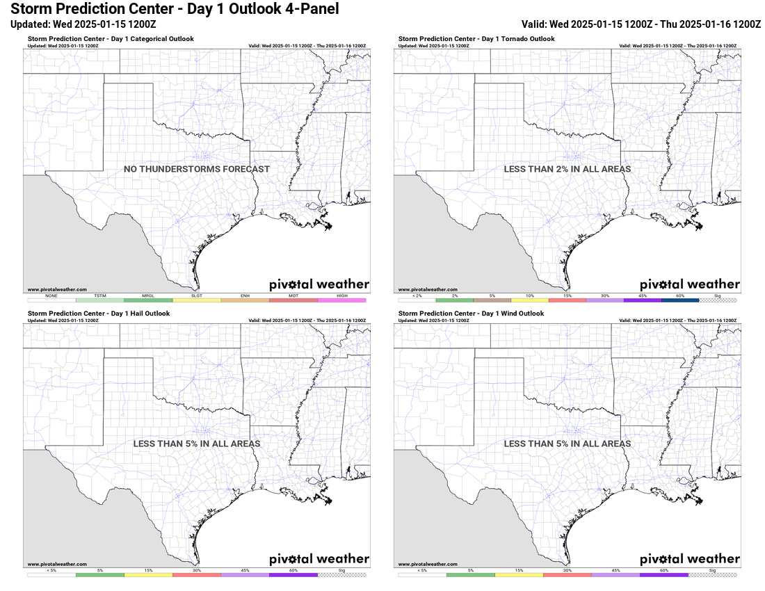
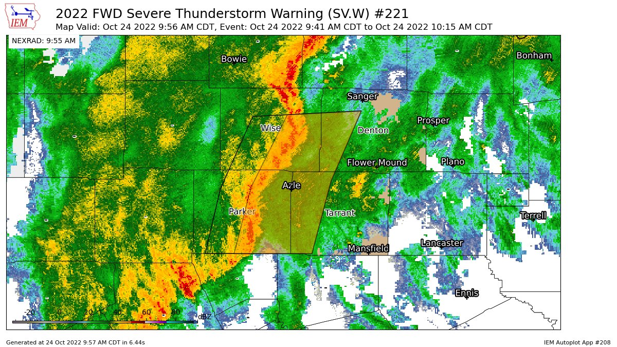
As mid level jet punches eastward this evening, the surface cold front will accelerate toward the east and expect a broken line of thunderstorm to form along the boundary. High resolution guidance has varying locations and intensities of this line with some forming the line near the US 59 corridor and others near the western edge of the low level jet from Victoria to near College Station. Think the more western solution is more likely with the line becoming more solid as it progresses eastward. Main concern will be strong winds with the leading edge of the line as energy aloft may get transported down to the surface in the stronger convection. Low level winds may back just enough over portions of SE TX to favor an increasing tornado threat with the line or any cells that form just ahead of the line. The highest threat for tornadoes appears in the area along and north of I-10. SPC has the entire area outlooked in a slight risk of severe thunderstorms for tonight, but think the threat is likely a bit more isolated than suggested in the outlook given the lacking instability.
Front will move quickly offshore Tuesday morning with clearing skies and a much drier air mass filtering into the region. Lows will fall back into the 40’s for mid week with highs in the 70’s.
Next system quickly approaches from the west Thursday and Friday and a coastal trough forms along the lower TX coast which will help to induce significant moisture advection across the area by Thursday. Expect a quick increase in clouds as early as Wednesday night and then increasing chances of showers and thunderstorms from south to north on Thursday. Rains will linger into Friday with the next frontal passage expected Friday afternoon. Could see some heavy rainfall with this weather event toward the late week period.
Jeff Lindner
Director Hydrologic Operations Division/Meteorologist
Harris County Flood Control District
9900 Northwest Freeway | Houston, Texas 77092
346-286-4000 (main) | 346-286-4165 (direct) | 281-924-2091 (cell)
jeff.lindner@hcfcd.org | Twitter: @jefflindner1


