bubba hotep wrote:Models have shifted the overnight MCS well east of DFW and really struggle to fire anything in the afternoon. I would roll the ENH back to Slight just based on lack of coverage.
Shocker. Lol.
Moderator: S2k Moderators


bubba hotep wrote:Models have shifted the overnight MCS well east of DFW and really struggle to fire anything in the afternoon. I would roll the ENH back to Slight just based on lack of coverage.

bubba hotep wrote:Models have shifted the overnight MCS well east of DFW and really struggle to fire anything in the afternoon. I would roll the ENH back to Slight just based on lack of coverage.


cheezyWXguy wrote:bubba hotep wrote:Models have shifted the overnight MCS well east of DFW and really struggle to fire anything in the afternoon. I would roll the ENH back to Slight just based on lack of coverage.
Lol now that you’ve said that, the SPC went and bumped tor probs up to 5% while maintaining the enhanced hail/wind. You jinxed us!
bubba hotep wrote:cheezyWXguy wrote:bubba hotep wrote:Models have shifted the overnight MCS well east of DFW and really struggle to fire anything in the afternoon. I would roll the ENH back to Slight just based on lack of coverage.
Lol now that you’ve said that, the SPC went and bumped tor probs up to 5% while maintaining the enhanced hail/wind. You jinxed us!
12z hi-res are showing everything mostly east and SE of DFW. That's why I don't work at SPC lol
cheezyWXguy wrote:bubba hotep wrote:cheezyWXguy wrote:Lol now that you’ve said that, the SPC went and bumped tor probs up to 5% while maintaining the enhanced hail/wind. You jinxed us!
12z hi-res are showing everything mostly east and SE of DFW. That's why I don't work at SPC lol
I guess it depends which models you’re looking at. The HRRR and ARW definitely look that way, but the NAM and ARW2 are a lot more enthusiastic. I tend to find that the NAM handles coverage a little better in events with a lack of forcing, but overdoes influence of remnant boundaries. My thought is somewhere between both of these camps, but leaning a bit more towards the NAM based on the setup
bubba hotep wrote:cheezyWXguy wrote:bubba hotep wrote:
12z hi-res are showing everything mostly east and SE of DFW. That's why I don't work at SPC lol
I guess it depends which models you’re looking at. The HRRR and ARW definitely look that way, but the NAM and ARW2 are a lot more enthusiastic. I tend to find that the NAM handles coverage a little better in events with a lack of forcing, but overdoes influence of remnant boundaries. My thought is somewhere between both of these camps, but leaning a bit more towards the NAM based on the setup
It does appear that the outflow is stalling/ washing out. Wherever that boundary ends up will probably have a locally enhanced risk of spin ups. Also, models sometimes fire storms too far east in these setups. I wouldn't be surprised to see storms fire farther west.
bubba hotep wrote:bubba hotep wrote:cheezyWXguy wrote:I guess it depends which models you’re looking at. The HRRR and ARW definitely look that way, but the NAM and ARW2 are a lot more enthusiastic. I tend to find that the NAM handles coverage a little better in events with a lack of forcing, but overdoes influence of remnant boundaries. My thought is somewhere between both of these camps, but leaning a bit more towards the NAM based on the setup
It does appear that the outflow is stalling/ washing out. Wherever that boundary ends up will probably have a locally enhanced risk of spin ups. Also, models sometimes fire storms too far east in these setups. I wouldn't be surprised to see storms fire farther west.
So much for that; outflow just blasted through Southern Collin County like a cold front. Now we have brisk north wind and refreshingly cool air...
15z HRRR doesn't show much of anything for DFW. I was hoping for a solid rain before the heat set in, but it looks like another ENH shutout lol
Cpv17 wrote:bubba hotep wrote:bubba hotep wrote:
It does appear that the outflow is stalling/ washing out. Wherever that boundary ends up will probably have a locally enhanced risk of spin ups. Also, models sometimes fire storms too far east in these setups. I wouldn't be surprised to see storms fire farther west.
So much for that; outflow just blasted through Southern Collin County like a cold front. Now we have brisk north wind and refreshingly cool air...
15z HRRR doesn't show much of anything for DFW. I was hoping for a solid rain before the heat set in, but it looks like another ENH shutout lol
Lol y’all almost always get shafted when there’s a severe threat for y’all.


bubba hotep wrote:Really strange that we are about to make it through the "rainy" season without a single significant MCS event for DFW. All we have really had are pop-up storms and outflow boundaries from MCSs.
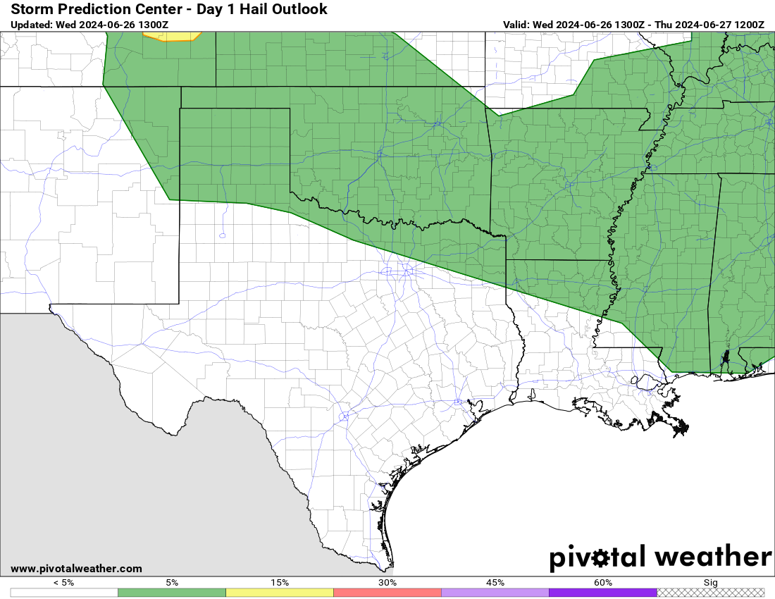
bubba hotep wrote:Hail Hatch for DFW today.
https://x-hv1.pivotalweather.com/maps/spc/spcd1hail.us_sc.png
bubba hotep wrote:Hail Hatch for DFW today.
https://x-hv1.pivotalweather.com/maps/spc/spcd1hail.us_sc.png
cheezyWXguy wrote:bubba hotep wrote:Hail Hatch for DFW today.
https://x-hv1.pivotalweather.com/maps/spc/spcd1hail.us_sc.png
Looks like a repeat of yesterday to me. Hopefully we get something though


Return to “USA & Caribbean Weather”
Users browsing this forum: No registered users and 26 guests


