Pas_Bon wrote:At some point, we just have to call a spade a spade. No, the season isn’t “cancelled,” but it’s getting time that we need to really curtail our expectations of a “hyperactive” season, in my non-professional opinion.
We keep hearing, “the switch is going to flip any day now” and now “September will be a rough one.” This, after hearing, “August will be Hell.”
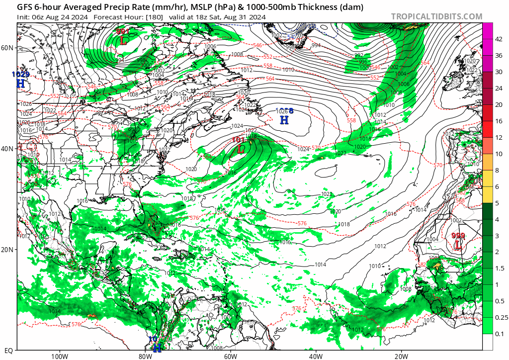
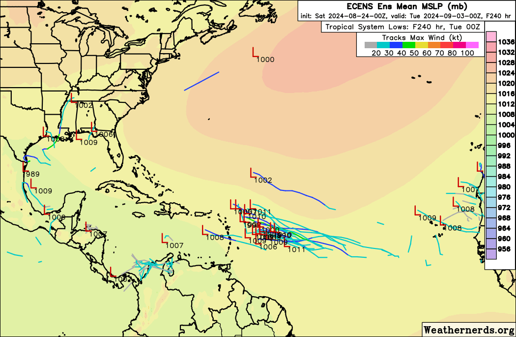
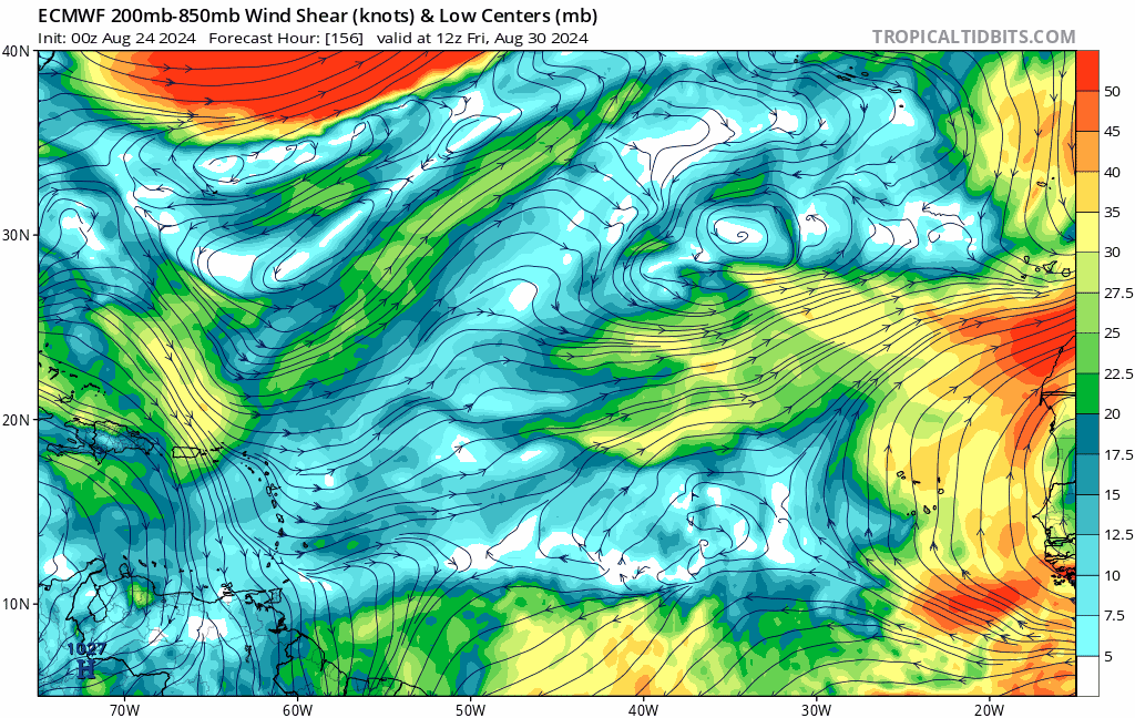
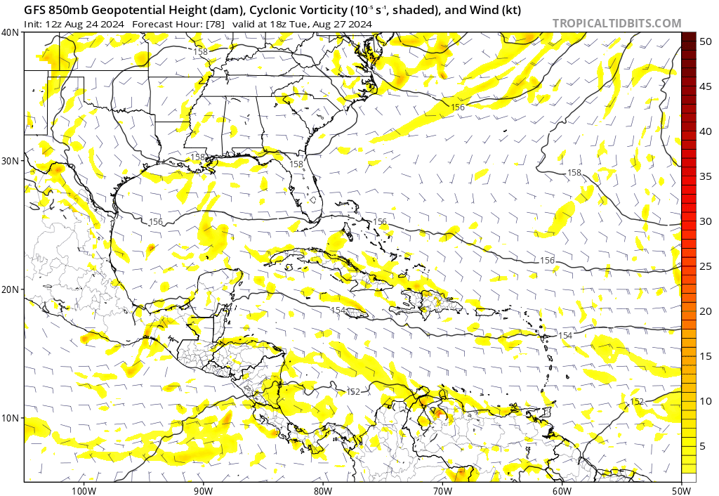
I’ll be honest, while I expect a few storms in September, I’m not seeing anything from the models indicating that we will see anything other than a few storms here and there.
The prognostications for this season were justified, indeed. They haven’t really panned out. We had a Cat 1 in Texas (granted, it reached Cat 5 and damaged Jamaica quite a bit) and a Cat 1 in Florida. Other than that, we’ve had a couple tropical storms and a (mostly) fish that impacted Bermuda. While that is active for whomever gets them, it’s hardly the doom and gloom that has had so many worried for so long.
Historically the hurricane season is just getting started, if i recall correctly about 90% of the activity happens after Mid-August.
The ingredients are still there for a hyperactive season, if we are still not seeing much activity by mid September then we can start making these kind of assessments.
As others have pointed out, Grenada and the Grenadines were devastated after Beryl, another name that will be retired and remembered as a historically bad hurricane and the most intense June storm we have ever seen.
We can easily see 6+ storms in September and another 4+ in October which would bring the total on par with pre season predictions.
Countless times folks on this board have made posts similar to yours and 2 weeks later were eating crow.


