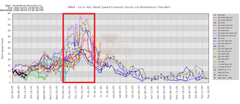
jlauderdal wrote:Steve wrote:The upper low is now NW of the Yucatan with some trailing energy. It should deflect some of the outflow influence from John seen at the bottom left of the view. 9 is likely to feed off some of this if it establishes that Pacific Channel.
https://www.tropicaltidbits.com/sat/sat ... uct=wv_mid
Take it a little farther out to the W Atlantic view and you can see the future pattern reversal. Should be good upper support almost to the coast. Not sure how far right it can get with that ridge off the coast meaning I don't think it will go offshore of the east coast of Florida. But it still can come in anywhere.
https://www.tropicaltidbits.com/sat/sat ... uct=wv_mid
WV doesn't get enough love. Look at the trough digging. For days, we have waited to see where it would set up and how sharp. It is still developing, but you could not look at a model the next couple of days and put together a good track with just the WV. Keep your fingers crossed, Tampa and points south.
No it doesn't get enough love. It's the one satellite view that sums up most of we see in the mid and upper patterns which generally are where steering will be with actual hurricanes. I particularly like it when we get into so-called now cast mode where we're not just watching the models but the actual evolution. It's always got the clues.


