 The posts in this forum are NOT official forecast and should not be used as such. They are just the opinion of the poster and may or may not be backed by sound meteorological data. They are NOT endorsed by any professional institution or


http://www.wxguy.storm2k.org/temp/1950SSTA.bmp
Right now it’s centered near 150 W. this means that the ridge develops near the warm pool and forces the trough to pull back into the west. In highly amplified pattern when you have a trough in the west – basic wave physics tells you that you must have a strong ridge downstream of it over the EUS. UNLESS the NAO is negative.
A –NAO changes the game completely since it would act to suppress the height field along the east coast and keep the SE ridge from reaching extreme amplitude and prevent it from becoming a major factor. JAN 1969 was GREAT example. It was a SEVERE winter in the PAC NW w/ strong RNA pattern MOST of the winter. The PNA index averaged -2.1 in JAN 1969. BUT the NAO saved it for the east. Recall FEB had the Lindsay storm (20” in NYC) and a longer duration event along the New England coast.
http://www.wxguy.storm2k.org/temp/jan1969.bmp
http://www.wxguy.storm2k.org/temp/jan1969_2.bmp
Overall however 1968-69 was a strange winter given the fact that we had weak to moderate EL NINO going BUT the Pattern was more reminiscent of LA NINA w/ Anomalously weak Aleutian low and strong RNA pattern (Most likely the result of the NPAC SSTA configuration and PDO cycle).
http://www.wxguy.storm2k.org/temp/1969ssta.gif
The warm pool in JAN 1969 was much further west between JAPAN and 180 degrees longitude w/ pronounced cold pool in the GOA…like 2001-02 BUT notice the Atlantic SSTA configuration. CLEARLY inverted SSTA tripole supporting a –NAO. Although the warm pool in the central Atlantic is breaking down, we DO NOT have that inverted SSTA tripole right now. And until we get rid of the warm pool and develop the tripole, we will not have a predisposition toward a –NAO. JAN 1950 had a warm Atlantic but again, no defined tripole.
In other words we had the –NAO fending off the effects of the PAC SSTA configuration in 1969 we did not in 1950, and probably will not until the last week of JAN this year.
While some prefer 1950 as an analog to this JAN I have another year in mind which I used in my January outlook that IMO fits the pattern just as well if not better.
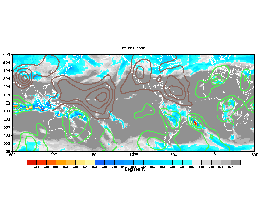
Wild card for the middle of the month is the new MJO which is heating up near 120 E.


