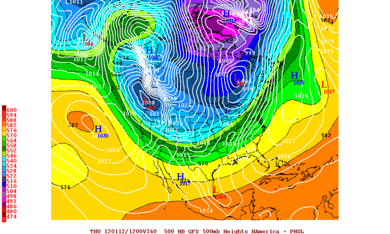
Portastorm wrote:The 12z Euro continues to support an Eastern trough but one more east than what it showed yesterday and more in line with the 0z Euro and the 0z and 12z GFS. Looks like we're narrowing solutions down and the New Year's cold front will be nothing to write home about.
I've also been monitoring the Euro's predicted 850mb and surface temps for next week. Here's a breakdown of the last 3 runs:
12Z Tue: 850mb temp -13C over Houston next Tue/Wed. Min surface temp next Wed of 29-30F
00Z Wed: 850mb temp +1C to +2C over Houston next Tue/Wed. Min surface temp next wed of 30F
12Z Wed: 850mb temp +6C over Houston next Tue/Wed with min surface temp 35F
Trend is definitely warmer. Main reason I see is the general lack of cold air in the source region and a U.S. snowfall map that shows little or no coverage from Texas to the Canadian border.
http://images.intellicast.com/WxImages/ ... scover.gifWhat does it all mean as far as next week across Texas? Just a moderate/seasonal cold front moving through Sunday afternoon bringing a possible light freeze to near the coast. No post frontal precip and little, if any, pre-frontal rain.
 The posts in this forum are NOT official forecast and should not be used as such. They are just the opinion of the poster and may or may not be backed by sound meteorological data. They are NOT endorsed by any professional institution or


