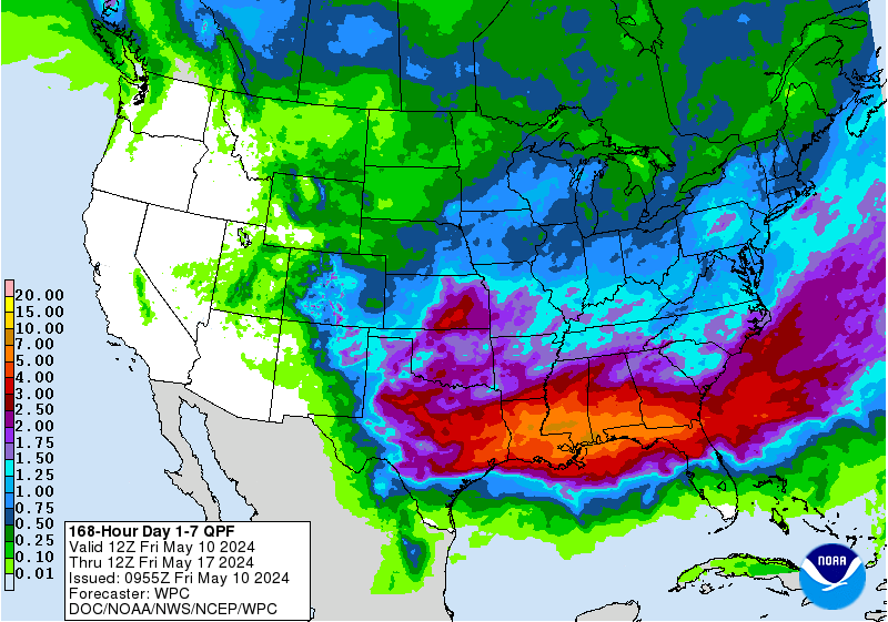
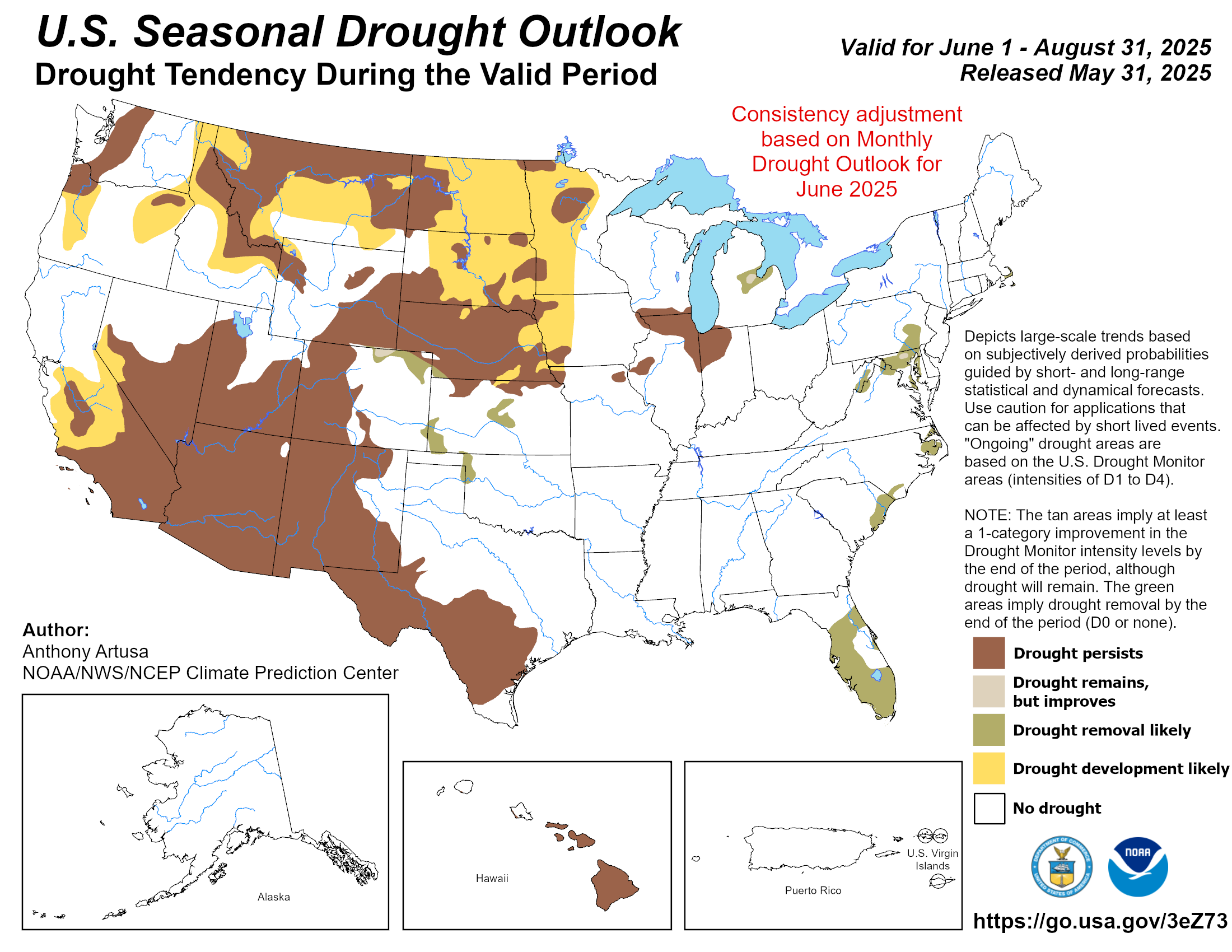
I know it is not freezing weather with snow and ice, but we desperately need this rain here for the soils, and our lower lake levels, which have noticeably declined since late Summer.
Sure it would be more fun to get some frozen wetness, but I will take any kind of beneficial wetness I can get at this point!!
As a bonus, it washes the air out of the horrendous cedar count we have had!

000
FXUS64 KEWX 170925
AFDEWX
Area Forecast Discussion
National Weather Service Austin/San Antonio TX
325 AM CST Fri Jan 17 2020
.SHORT TERM (Today through Saturday)...
At 2 AM, the cold front wiggled along a Carrizo Springs to Uvalde to
Pleasanton to La Grange to Brenham line. An upper level trough was
over the Great Basin. As the upper level trough moves east over the
Rockies today, eastern parts of the front drift northwest across the
I-35 corridor into the eastern Hill Country while western parts
drift toward the I-35 corridor. An unseasonably moist airmass
remains over our area with PWs of 1 to 1.5 inches. These PWs are
near record levels for mid January. Upward forcing of this moist
airmass generate scattered to numerous showers today that gradually
focus along the frontal zone tonight. Stronger convergence across
the frontal zone will create spots of locally heavy rains and WPC
has highlighted this area with a marginal risk of excessive rains.
Weak elevated instability may cause a few thunderstorms. Above
normal temperatures are expected east of the front and below normal
temperatures west of it.
The upper level trough moves east across the Plains on Saturday
causing another, though, stronger cold front to move across our area
during the morning to overtake the current front. The passage of the
front brings another round of showers. Weaker elevated instability
is expected and will not mention thunderstorms. However, cannot rule
one or two. Similar to today, above normal temperatures are expected
ahead of the front and below normal temperatures behind it. Breezy
and gusty northerly winds will develop in the wake of the frontal
passage.
&&
.LONG TERM (Saturday Night through Thursday)...
Rain chances shift south of the area Saturday night, while a flat
zonal pattern develops aloft over TX. The cold air advection pattern
softens up Sunday with northerly winds falling to below 10 mph across
most of the area by late afternoon. Sunday night into Monday, the
cold air advection pattern gets a boost, as the upper troughing
pattern, by this time over the Ern US, gets another piece of energy
that carves out a sharper northerly flow aloft pattern over the
Central Plains. Earlier projections had a round of light elevated
showers to coincide with this shortwave over Central TX, but this has
trended weaker and is now considered to low of a PoP for warranting
mention. The potential for freezing low temps continues to be focused
over the northern counties as filtered sun and scattered mid/high
clouds over the CAA period will help to dampen diurnal temperature
differences.
On Tuesday, the flat pattern over TX has a low amplitude shortwave
trough that increases mid level cloudiness and isentropic lift with
scattered showers expected late Tuesday through Wednesday. Another
upstream and stronger shortwave moves in quickly on the heels of the
Tuesday system and creates a positive tilt troughing pattern over the
area for late Wednesday into Thursday. Confidence is fairly low on
the timing of these two systems fusing together as they reach TX, but
models show a good consensus on an above average chance of rain and
good potential for a widespread event. Additional shortwave troughing
features on the heels of the Tue-Thu wet pattern would suggest that
some shifts in timing could push the best widespread rain day forward
or backwards, so will have little faith in pushing PoPs in any one
period past 60 percent.
With the persistent unsettled pattern lasting into late next week, no
freezing temps are foreseen for the southern and eastern two-thirds
of the area through late next week.
 The posts in this forum are NOT official forecast and should not be used as such. They are just the opinion of the poster and may or may not be backed by sound meteorological data. They are NOT endorsed by any professional institution or


 well played!!


