#2592 Postby Edwards Limestone » Wed Dec 21, 2022 12:47 pm
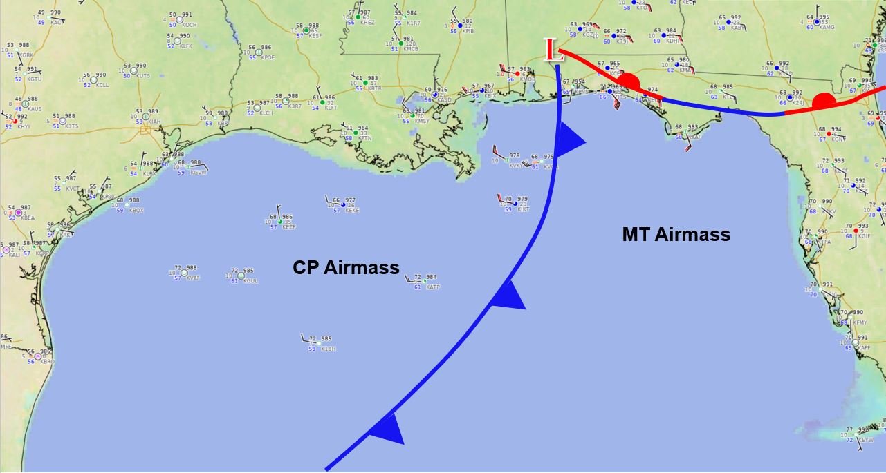
wxman57 wrote:Ntxw wrote:wxman57 wrote:You can pick out the front now crossing NW Nebraska. About a 10-20F drop either side of the front. However, it's already cold ahead of the front, so you wouldn't expect a tremendous drop. Mountains in Wyoming don't count. Looks at the airmass over the Plains. That temperature differential will be accentuated when it reaches the 50s and 60s across Texas tomorrow. I would prefer that the 12Z GFS be correct. Just one hard freeze followed by a light freeze Saturday. Sounds good to me, but I think it will be colder here. Canadian is just nuts, though.
http://wxman57.com/images/Front.JPG
I would count eastern and in particular northeast WY in the locations mentioned above. They are east of the Bighorn and Laramie mountains part of the Great Plains. Really just an extension of far western Nebraska.
I remain unimpressed so far, just concerning post-front temps. You can get a wind chill of -70F with a -25F temp and a 45-50 mph wind. The wind chill will definitely make it feel colder. Watch temps in southern Nebraska and Kansas. Definitely flat there and no high elevations.
Fine with me. I hope this front totally busts on the high side for temps. Extreme cold w/ no precip is nothing but a nuisance in our part of the world.
I think if Feb 2021 hadn't happened, this wouldn't be getting the press that it is. Luckily, it doesn't look like this front will be anything like that event.
1 likes
The above post is NOT an official forecast and should not be used as such. It is just the opinion of the poster and may or may not be backed by sound meteorological data. It is NOT endorsed by any professional institution including Storm2k. For official information, please refer to NWS products.
 The posts in this forum are NOT official forecast and should not be used as such. They are just the opinion of the poster and may or may not be backed by sound meteorological data. They are NOT endorsed by any professional institution or