

But of course its the CMC...
Moderator: S2k Moderators
 The posts in this forum are NOT official forecast and should not be used as such. They are just the opinion of the poster and may or may not be backed by sound meteorological data. They are NOT endorsed by any professional institution or STORM2K.


Portastorm wrote:BLECH!!! That is what I have to say about this 12z GFS run.
Dry Arctic cold through Saturday. No signs of upper-level energy out west. Booo!
Who needs it?! This run is like serving a basket of freshly made tortilla chips with no salsa or queso.

 my Cowboys my Rockets my Astros

southerngale wrote:Portastorm wrote:BLECH!!! That is what I have to say about this 12z GFS run.
Dry Arctic cold through Saturday. No signs of upper-level energy out west. Booo!
Who needs it?! This run is like serving a basket of freshly made tortilla chips with no salsa or queso.
I hear ya!
I see that some are mentioning this model and that model showing some post frontal precip, and while I hope that happens, I'm not holding my breath. We're 4 days away from Thursday and 5 away from Friday. I could be wrong, but I'm pretty sure at this point before the snow event on December 4th, wxman57 was already on board with the snow, and he's usually our buzzkiller when we start dreaming. lol When he said it was going to snow, I believed it.
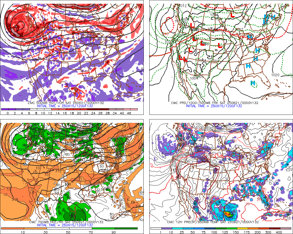
And I know the GFS was on board at this point in early December. I hope this situation is different and the GGEM and the CMC (is that the other one showing post frontal precip?) are right, and the GFS and Euro start to fall in line with them. Unfortunately, I doubt it.
I'm crossing my fingers and singing some Bing Crosby nonetheless.


wxman22 wrote:The GGEM and the CMC are the same model just different names.
my Cowboys my Rockets my Astros

Portastorm wrote:Wxman 57's helpful post and chart reminds me that the NWSFO in Fort Worth also mentions the CMC run in their afternoon AFD but they added that with dewpoints in the single digits, moisture on Friday will be hard to come by.
For the moment, I don't have much confidence in today's Canadian runs.
As for where the brunt of the coldest air is going ... we've seen both the GFS and Euro flip-flop today. To be determined.
gofrogs wrote:of liquid or snow and no comments about the 18z gfs.
 my Cowboys my Rockets my Astros
Users browsing this forum: No registered users and 64 guests


