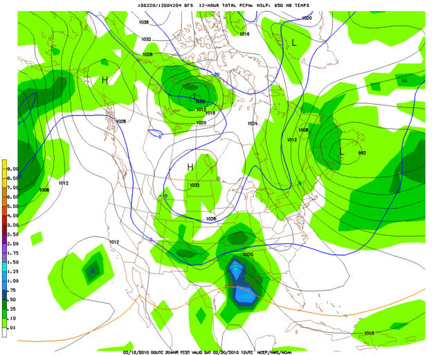
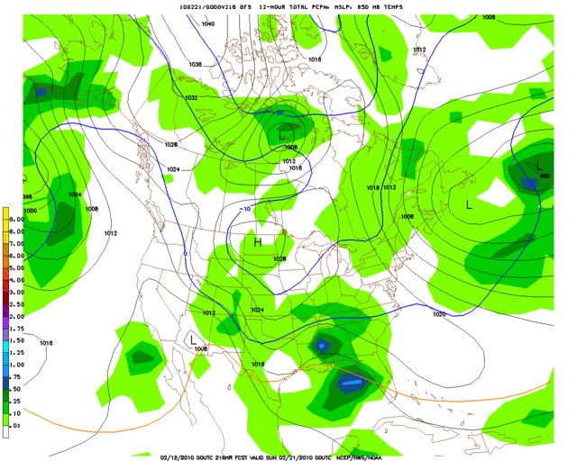
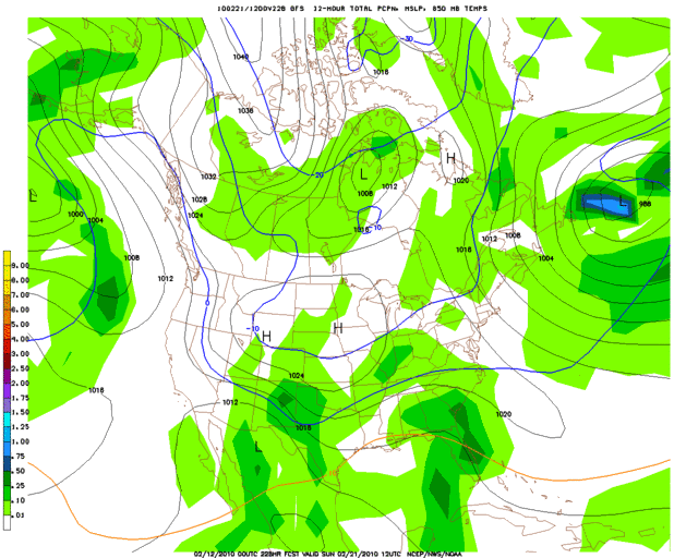
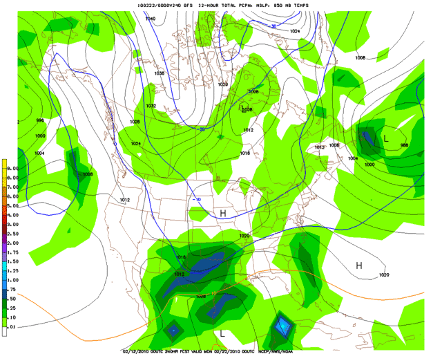
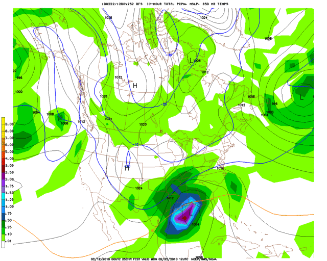
Based on my current read of the situation, here is a look at my prediction for snow amounts in the state of Oklahoma during this event...
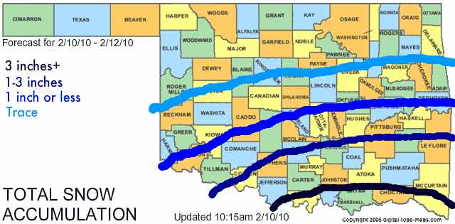
These areas may need to be adjusted north or south some depending on how the snow bands actually develop tomorrow and also depending on how the surface temperatures set up, but for now I think this is a pretty good idea of how things will play out across the area with this storm.
The following post is NOT an official forecast and should not be used as such. It is just the opinion of the poster and may or may not be backed by sound meteorological data. It is NOT endorsed by any professional institution including storm2k.org. For official information, please refer to NWS products.
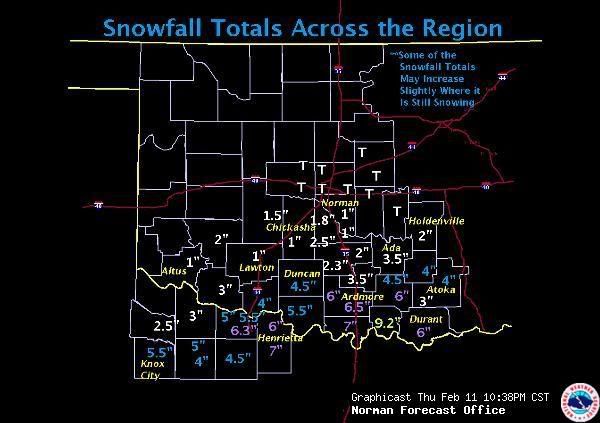
VERIFICATION:Actual storm snow totals:
http://i43.photobucket.com/albums/e371/ ... als_14.jpgOverall my general idea verified with higher snowfall amounts south and lower totals as you moved northward. I did underestimate the snowfall amounts in a few areas though. A few spots in the 1" or less zone wound up receiving as much as 2-3", and a few spots in the 1-3" zone wound up receiving as much as 4-6". I also could have bumped up my wording for the southernmost zone. While the entire 3"+ area did verify, it is worth noting that some places down there picked up as much as 9.2" of snow, which is
well above 3". In retrospect, a 6"+ forecast probably would have emphasized the severity better.
In the end I give myself a
B- for this forecast. My general thinking was correct, but my snow totals were a bit off (too low) in a few areas.
 The posts in this forum are NOT official forecast and should not be used as such. They are just the opinion of the poster and may or may not be backed by sound meteorological data. They are NOT endorsed by any professional institution or


