Texas winter wx thread (2009-2010)

Winter Weather Discussion

Moderator: S2k Moderators

Forum rules

The posts in this forum are NOT official forecast and should not be used as such. They are just the opinion of the poster and may or may not be backed by sound meteorological data. They are NOT endorsed by any professional institution or STORM2K.

Help Support Storm2K
Message
Author
msstateguy83

#7921 Postby msstateguy83 » Sat Feb 20, 2010 11:41 am

amen thank you bro good to see someone thinking that... i mean i might have a head as hard as steel BUT i just cant
help but take into acct when this first showed up on the models to the NAM now to just other factors including climatology
so ANYONE should think twice before they get to confident of a central/southern tx snow storm! but just my opinion and for portstorms sake and everyone else down that way i hope iam wrong but we will see :wink:
0 likes   

Ntxwx
Tropical Storm
Tropical Storm
Posts: 153
Joined: Tue Jan 26, 2010 10:43 am
Location: Bridgeport, Texas

Re: Texas winter wx thread (2009-2010)

#7922 Postby Ntxwx » Sat Feb 20, 2010 11:51 am

Hey guys, have not been on in a while, I love all the talk of snow, but, It will be intresting to compare the 2 biggest snowstorms wise county has seen this season Christmas Eve and Snowmaggeden.

I have to ask... Is this Snow bout going to have strong winds? What can I be worried about? heavy snow or strong winds?
0 likes   

User avatar
vbhoutex
Storm2k Executive
Storm2k Executive
Posts: 29113
Age: 73
Joined: Wed Oct 09, 2002 11:31 pm
Location: Cypress, TX
Contact:

Re:

#7923 Postby vbhoutex » Sat Feb 20, 2010 12:04 pm

msstateguy83 wrote:amen thank you bro good to see someone thinking that... i mean i might have a head as hard as steel BUT i just cant
help but take into acct when this first showed up on the models to the NAM now to just other factors including climatology
so ANYONE should think twice before they get to confident of a central/southern tx snow storm! but just my opinion and for portstorms sake and everyone else down that way i hope iam wrong but we will see :wink:

With soundings showing snow almost all the way into Houston downtown, how can you ignore that? Climatology is important in forecasting, to say the least, but with this pattern we aren't real close to climatology imo.
0 likes   
Skywarn, C.E.R.T.
Please click below to donate to STORM2K to help with the expenses of keeping the site going:
Image

User avatar
wxman57
Moderator-Pro Met
Moderator-Pro Met
Posts: 22984
Age: 67
Joined: Sat Jun 21, 2003 8:06 pm
Location: Houston, TX (southwest)

Re: Texas winter wx thread (2009-2010)

#7924 Postby wxman57 » Sat Feb 20, 2010 12:10 pm

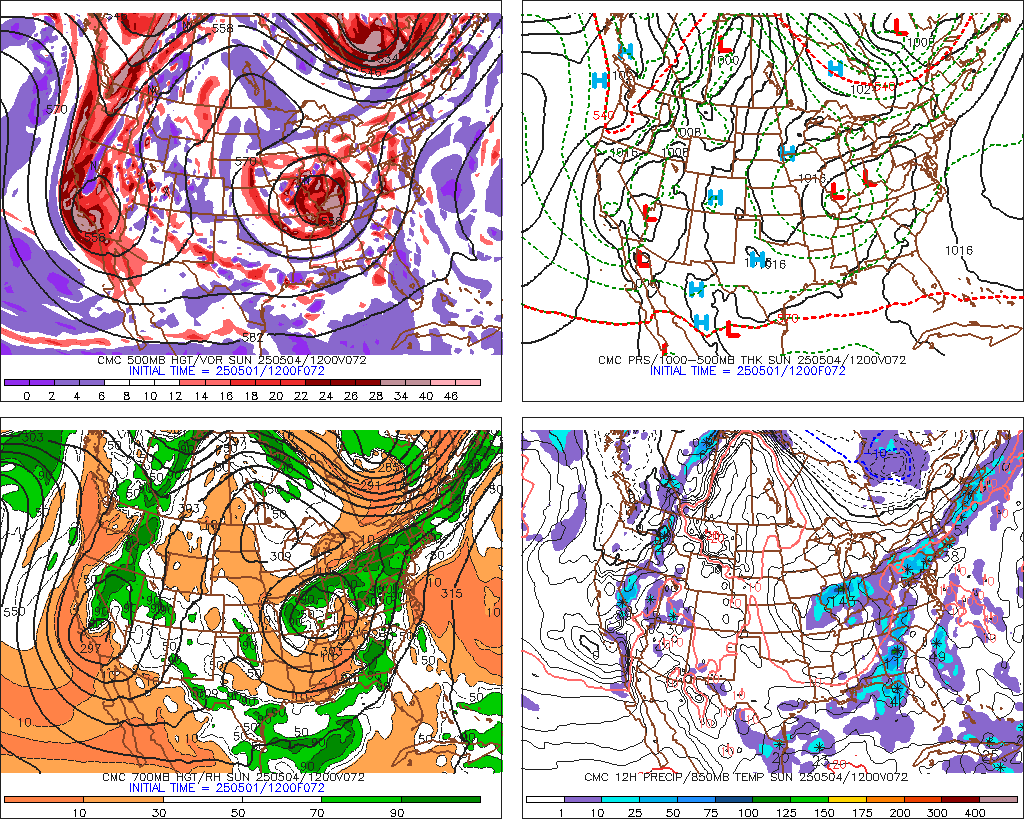
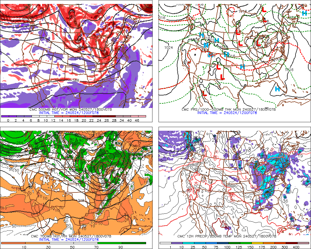
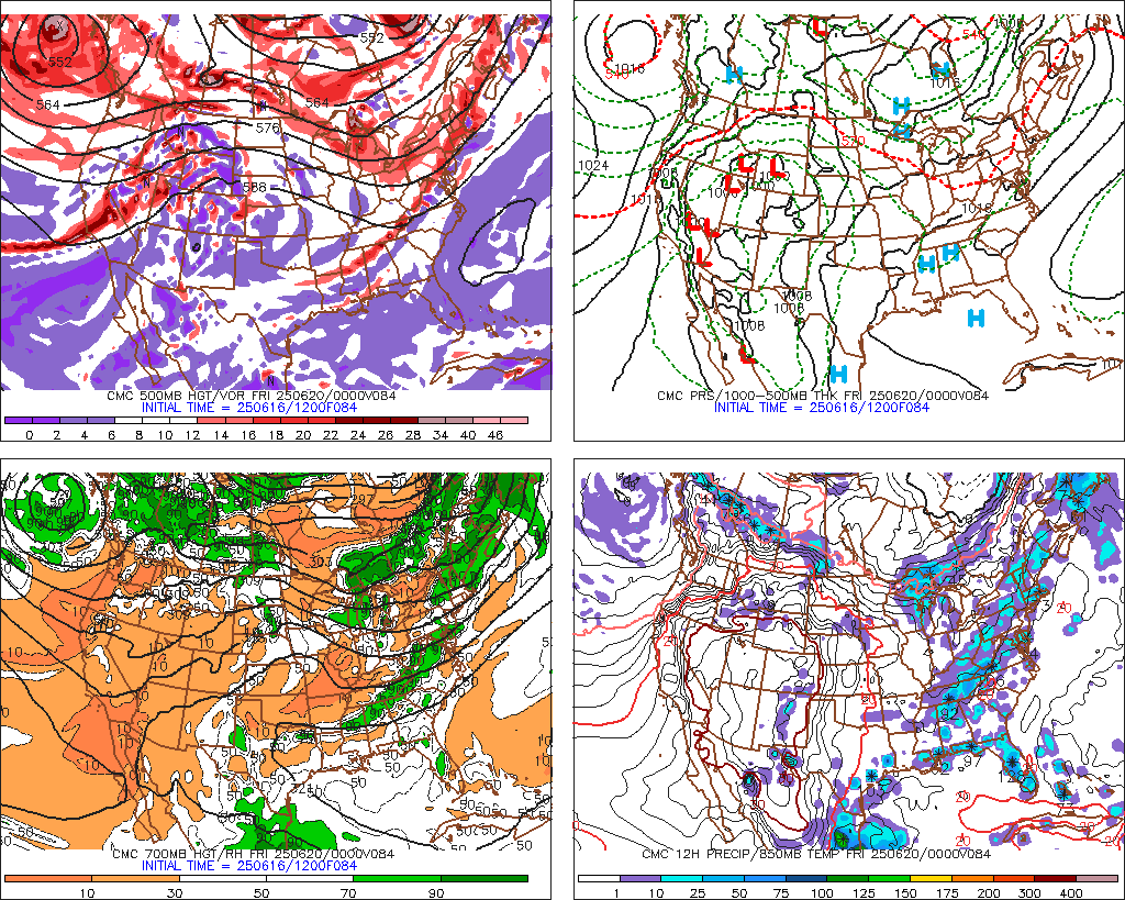
srainhoutx wrote::uarrow: Just a word of caution. That map will change as future guidance comes in just as the image I posted yesterday of Storm Tracks. :wink: Just too soon to know where and how this will all play out IMHO.


Note, too, that the HPC map above only goes out to 12Z Tuesday - before the snow starts in most areas of TX.

Made some soundings for SE TX areas. First, Houston. No change from 6Z GFS. Cold rain changing to rain/sleet mid afternoon then maybe to sleet/snow as precip ends late afternoon/evening. If that tiny warm (above-freezing) area is not there, then we could see a few hours of snow here:
Image

Now, Austin. Austin sounding is definitely colder than Houston, and the preicp lingers longer after temps aloft are cold enough. I'd say 1-2" of snow may be possible there.
Image

Now, Beaumont. Same story as Houston, but a tad warmer aloft. Cold rain then rain mixed with sleet Tuesday PM. Maybe some flakes as it ends. Probably no accumulation.
Image

College Station. Definitely colder than Houston. Maybe a few inches of snow Tuesday afternoon.
Image
0 likes   

User avatar
wxman57
Moderator-Pro Met
Moderator-Pro Met
Posts: 22984
Age: 67
Joined: Sat Jun 21, 2003 8:06 pm
Location: Houston, TX (southwest)

Re:

#7925 Postby wxman57 » Sat Feb 20, 2010 12:13 pm

msstateguy83 wrote:amen thank you bro good to see someone thinking that... i mean i might have a head as hard as steel BUT i just cant
help but take into acct when this first showed up on the models to the NAM now to just other factors including climatology
so ANYONE should think twice before they get to confident of a central/southern tx snow storm! but just my opinion and for portstorms sake and everyone else down that way i hope iam wrong but we will see :wink:


The NAM is definitely farther north with the snow track. Bit it's also the poorest performing model of the past few snow events. What are the odd of the NAM being right THIS time with all the other models being wrong?
0 likes   

katheria
Category 1
Category 1
Posts: 338
Joined: Mon Dec 28, 2009 10:51 pm
Location: Garland TX

Re: Texas winter wx thread (2009-2010)

#7926 Postby katheria » Sat Feb 20, 2010 12:14 pm

how about one for dfw area? :cheesy:
always love looking at them...i learn more each time...
0 likes   
just a guess.......take everything i say with a grain of salt.......check your local NWS for forecast information

Weatherdude20

Re:

#7927 Postby Weatherdude20 » Sat Feb 20, 2010 12:17 pm

msstateguy83 wrote:amen thank you bro good to see someone thinking that... i mean i might have a head as hard as steel BUT i just cant
help but take into acct when this first showed up on the models to the NAM now to just other factors including climatology
so ANYONE should think twice before they get to confident of a central/southern tx snow storm! but just my opinion and for portstorms sake and everyone else down that way i hope iam wrong but we will see :wink:


We shall see, I think the highest snow accumulations will be from San Angelo to Fort Worth, north and westward, (Mainly Centered along I-20) Im not going into details on the actual amounts, but, I will address the snowfall acumulations amounts will probably be lower than initially expected.
0 likes   

User avatar
wxman57
Moderator-Pro Met
Moderator-Pro Met
Posts: 22984
Age: 67
Joined: Sat Jun 21, 2003 8:06 pm
Location: Houston, TX (southwest)

Re: Texas winter wx thread (2009-2010)

#7928 Postby wxman57 » Sat Feb 20, 2010 12:19 pm

katheria wrote:how about one for dfw area? :cheesy:
always love looking at them...i learn more each time...


Go to Earl's models page (Link below). Click the blue square closest to you and it'll plot a map of projected snow accumulations out to 120 hrs based on the latest GFS run:

http://wxcaster.com/gis-gfs-snow-overlays.htm

For Dallas, it's now saying around 2". 12Z is farther south with the heavy snow.
0 likes   

katheria
Category 1
Category 1
Posts: 338
Joined: Mon Dec 28, 2009 10:51 pm
Location: Garland TX

Re: Texas winter wx thread (2009-2010)

#7929 Postby katheria » Sat Feb 20, 2010 12:22 pm

wxman57 wrote:
katheria wrote:how about one for dfw area? :cheesy:
always love looking at them...i learn more each time...


Go to Earl's models page (Link below). Click the blue square closest to you and it'll plot a map of projected snow accumulations out to 120 hrs based on the latest GFS run:

http://wxcaster.com/gis-gfs-snow-overlays.htm

For Dallas, it's now saying around 2". 12Z is farther south with the heavy snow.


thanks a bunch, i had lost earls page....:)
0 likes   
just a guess.......take everything i say with a grain of salt.......check your local NWS for forecast information

gofrogs2
Tropical Storm
Tropical Storm
Posts: 115
Joined: Sun Jan 24, 2010 1:24 pm

#7930 Postby gofrogs2 » Sat Feb 20, 2010 12:31 pm

It will be an intresting weekend to say the least weatherwise just wish we oculd get some consitency.
0 likes   

User avatar
wxman22
Category 5
Category 5
Posts: 1494
Joined: Mon Jan 30, 2006 12:39 am
Location: Wichita Falls, TX
Contact:

Re: Texas winter wx thread (2009-2010)

#7931 Postby wxman22 » Sat Feb 20, 2010 12:36 pm

12z Canadian definitely more in line in what the GFS shows...

Image

Image

Image
0 likes   

gofrogs2
Tropical Storm
Tropical Storm
Posts: 115
Joined: Sun Jan 24, 2010 1:24 pm

#7932 Postby gofrogs2 » Sat Feb 20, 2010 12:45 pm

Looks like the candain give everyone six inches right.
0 likes   

User avatar
DentonGal
Tropical Storm
Tropical Storm
Posts: 189
Joined: Sun Dec 27, 2009 6:25 am
Location: Denton, TX

#7933 Postby DentonGal » Sat Feb 20, 2010 1:09 pm

I know we're focusing on Tuesday's potential snow event, but do I see something going on the first week of March for the DFW area?
0 likes   
Mom to 8 really is enough!

txwxwatcher
Tropical Depression
Tropical Depression
Posts: 98
Joined: Thu Feb 18, 2010 10:00 pm

Re: Re:

#7934 Postby txwxwatcher » Sat Feb 20, 2010 1:09 pm

wxman57 wrote:
msstateguy83 wrote:amen thank you bro good to see someone thinking that... i mean i might have a head as hard as steel BUT i just cant
help but take into acct when this first showed up on the models to the NAM now to just other factors including climatology
so ANYONE should think twice before they get to confident of a central/southern tx snow storm! but just my opinion and for portstorms sake and everyone else down that way i hope iam wrong but we will see :wink:


The NAM is definitely farther north with the snow track. Bit it's also the poorest performing model of the past few snow events. What are the odd of the NAM being right THIS time with all the other models being wrong?


Couldn't agree more with wxman57. Also, I noticed your mention of College Station possibly getting a few inches Tuesday afternoon. I have no bone in this as I do not live in the College Station area. It just seems hard to deny the fact that there could be a more southern track taking shape. Like others in here, I hope that the entire system wreaks havoc and that much of Texas gets in on the snow. Time will tell soon enough...
0 likes   

gofrogs2
Tropical Storm
Tropical Storm
Posts: 115
Joined: Sun Jan 24, 2010 1:24 pm

#7935 Postby gofrogs2 » Sat Feb 20, 2010 1:16 pm

What does the canadian say. i may have read it wrong. how much for dfw based of that run.
0 likes   

Weatherdude20

Re:

#7936 Postby Weatherdude20 » Sat Feb 20, 2010 1:25 pm

DentonGal wrote:I know we're focusing on Tuesday's potential snow event, but do I see something going on the first week of March for the DFW area?


Again, can't really go into the specifics because it is definatly long term, but, we warned it would be an active patern between now and the 1st or 2nd week of March atleast! And Sunday-Monday of NEXT week like the 28 or the 1st of March looks intresting(Wintry Mix, or Snow wise).
0 likes   

User avatar
txagwxman
Professional-Met
Professional-Met
Posts: 960
Joined: Thu Dec 24, 2009 3:26 pm
Location: Tomball, TX

Re:

#7937 Postby txagwxman » Sat Feb 20, 2010 1:29 pm

gofrogs2 wrote:What does the canadian say. i may have read it wrong. how much for dfw based of that run.

1-2" ...

ECMWF drier north of I-20 though...and not as wet...

Houston on the cusp---542-544 thickness...College Station/Austin 1-2" on the ECMWF.
0 likes   
“If you thought that science was certain - well, that is just an error on your part.”

User avatar
vbhoutex
Storm2k Executive
Storm2k Executive
Posts: 29113
Age: 73
Joined: Wed Oct 09, 2002 11:31 pm
Location: Cypress, TX
Contact:

Re:

#7938 Postby vbhoutex » Sat Feb 20, 2010 1:38 pm

gofrogs2 wrote:It will be an intresting weekend to say the least weatherwise just wish we oculd get some consitency.

Consistency is word all weather geeks long for and fear all at the same time!LOL! Consistency is what we want in the model runs so we can make some sense of them and we fear it because if they were always consistent we wouldn't have anything to discuss. :lol:

Watching the Tuesday event with much interest! Looks like my area is going to be right on the edge of the snow if this pans out for SE TX.
0 likes   
Skywarn, C.E.R.T.
Please click below to donate to STORM2K to help with the expenses of keeping the site going:
Image

User avatar
txagwxman
Professional-Met
Professional-Met
Posts: 960
Joined: Thu Dec 24, 2009 3:26 pm
Location: Tomball, TX

#7939 Postby txagwxman » Sat Feb 20, 2010 1:42 pm

That GEM model is wet for Houston after 6PM...precip doesn't end until midnight.
0 likes   
“If you thought that science was certain - well, that is just an error on your part.”

User avatar
srainhoutx
S2K Supporter
S2K Supporter
Posts: 6919
Age: 67
Joined: Sun Jan 14, 2007 11:34 am
Location: Haywood County, NC
Contact:

Re:

#7940 Postby srainhoutx » Sat Feb 20, 2010 1:57 pm

DentonGal wrote:I know we're focusing on Tuesday's potential snow event, but do I see something going on the first week of March for the DFW area?


A very potent storm is showing up on virtually all the guidance in the longer range for all of TX. Bears watching IMHO.
0 likes   
Carla/Alicia/Jerry(In The Eye)/Michelle/Charley/Ivan/Dennis/Katrina/Rita/Wilma/Ike/Harvey

Member: National Weather Association
Wx Infinity Forums
http://wxinfinity.com/index.php

Facebook.com/WeatherInfinity
Twitter @WeatherInfinity


Return to “Winter Weather”

Who is online

Users browsing this forum: No registered users and 25 guests