The posts in this forum are NOT official forecast and should not be used as such. They are just the opinion of the poster and may or may not be backed by sound meteorological data. They are NOT endorsed by any professional institution or


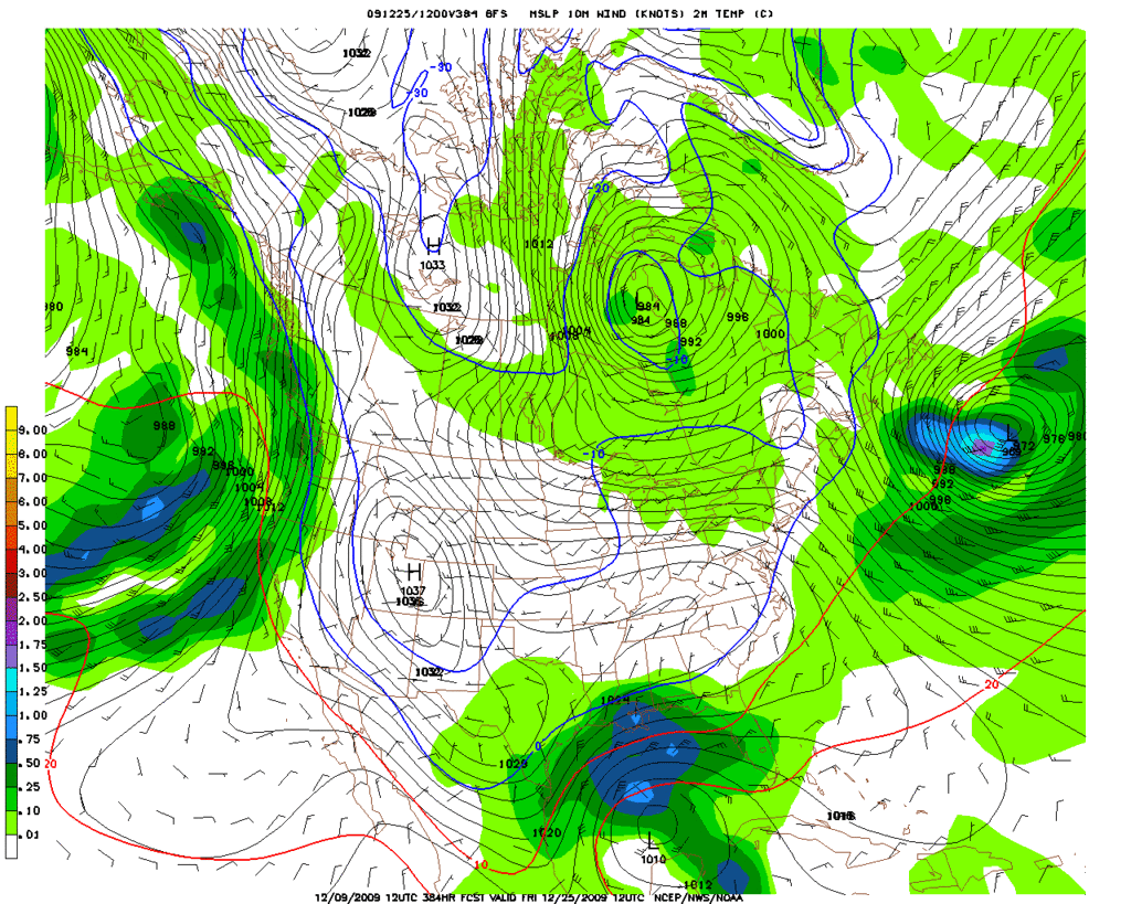
rhoby13 wrote:How accurate are these GFS models 9-14 days out?
Hard to say it could be latching on to somthing (like it did with the event last week) or it could just be a "phantom" storm only way to know is to watch for trends in the next model runs.