well, we headed up toward Alexandria around 10:20. MD's and a blue box went up for eastern ND and NW MN on the way up. When we got to Alex, we noticed a storm that had developed due west of Fargo, MN, so we decided to to check it out. We got to Fargo around noon and we were finally close enough to see the lightning. After about 20 minutes of sitting around trying to decide what to do next, we noticed some lowerings in between the first Fargo cell and a new cell going up to the south, so we went to check out the lowerings. After finding out that they were in fact wall clouds, we hung around and watched them until they died out. Nice CG's and thunder with storm, and possibly hail up to golf ball size. After watching this storm die out, we headed south towards the ND/SD/MN border area, where things looked like they might be more favorable for supercells. We stopped in between Wahpeton and Watertown, SD to get data. After about 45 minutes a new cell started going up west of Fargo, we didn't pay much attention to it as we figured any storms that fired further south would more likely produce supercells (little did we know the Fargo cell would shortly later become a MONSTER). Even after seeing the Fargo cell, we decided to venture further south as there were storms trying to fire around Pierre and also around Aberdeen. After maybe 3 radar loops from Aberdeen, it had gone from nothing to near supercell characteristics, so that's the storm we set our hearts on. We got in the vicinity of the storm probably around 7 or so, but as we got closer the storm just COMPLETELY collapsed, i dont know if i will ever see a storm die a quicker death than this one. After realizing this storm was going to cycle, we figured we would head back towards Fargo and see if we can get there before there was no light at all, or atleast get some pics/vid of lightning. On the trek north we watched this monster supercell get 92 mph shear, and new updrafts every 5-10 minutes. Eventually one of these new updrafts decided it wanted to be its own storm, so a new cell developed behind the monster. We got into reach of the storm around 8:50 with the last glimmers of sunlight coming through. one more thing to add, this storm had an inflow band that was HUGE, stretching for MILES. If there was a storm to be in the running for a quicker death than the Aberdeen cell, it was this one, this went from a monsterous supercell to barely a thunderstorm at all in just about 20 minutes. We wanted to take some pics of lightning, but when we got in to position for lightning, there was NO lightning at all, NONE. Even wxworks wasn't showing one single bolt, so we decided we had had a fun enough day, and came home via I-94. Feel free to leave comments.
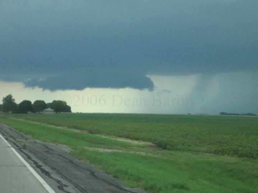
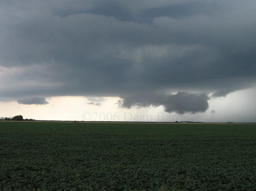
Wall cloud south of Fargo in a storm that fired along a pre-frontal boundary around 12:30
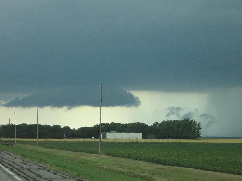

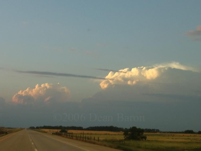
2 for 1
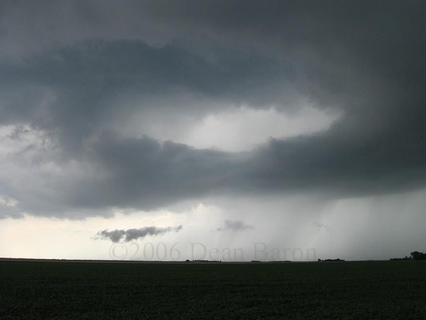
Dying wall cloud
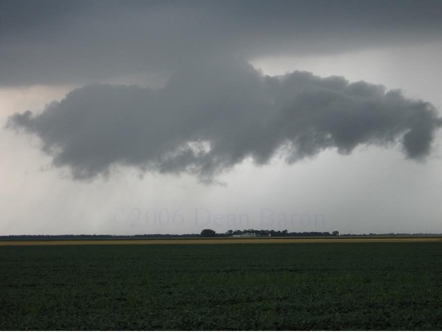
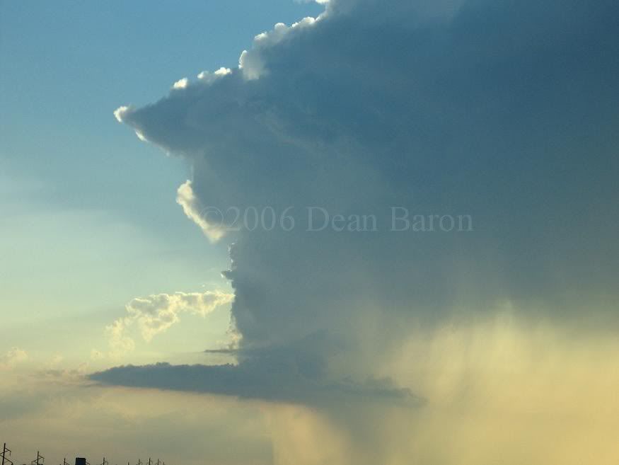
Aberdeen cell about 15-20 miles away

dying a very quick death
and completely gone

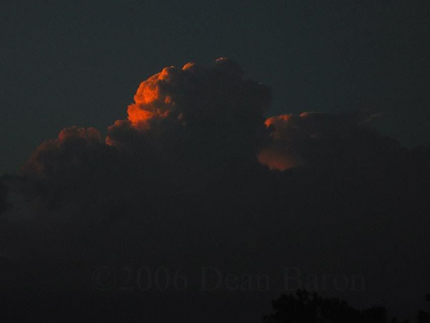
the monster in Fargo
getting closer to the storm and nightfall