#257 Postby Iceresistance » Mon Mar 25, 2024 11:36 am
The SPC is aware of this
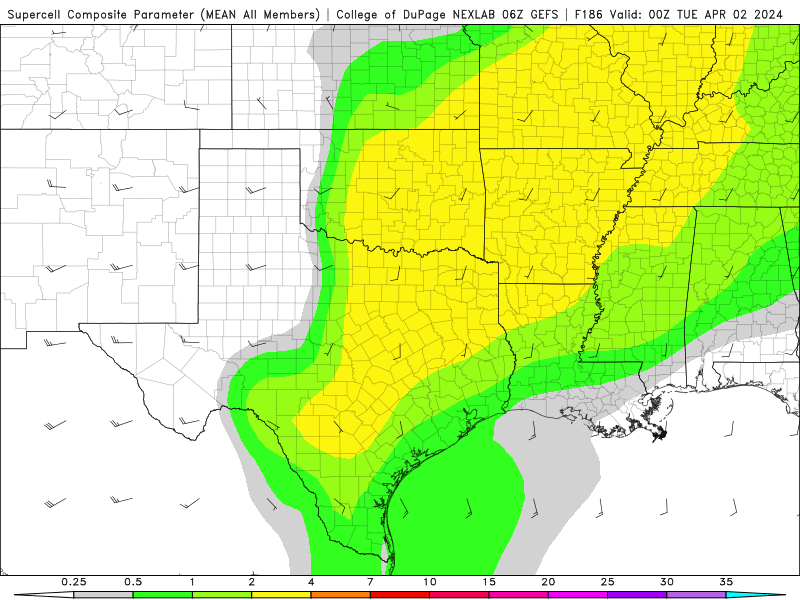
By Day 7/Sunday into Day 8/Monday, most medium-range guidance shows
an upper trough/low moving from the eastern Pacific across the
western states. There appears to be a somewhat bimodal distribution
in various GFS/GEFS and ECMWF/EPS solutions regarding the eventual
ejection of this upper trough across the southern/central Plains.
Some guidance shows a more positively tilted and elongated upper
trough evolution, which could still support severe potential across
the southern/central Plains by early next week. Other solutions show
a more compact, neutral to negatively tilted trough ejection.
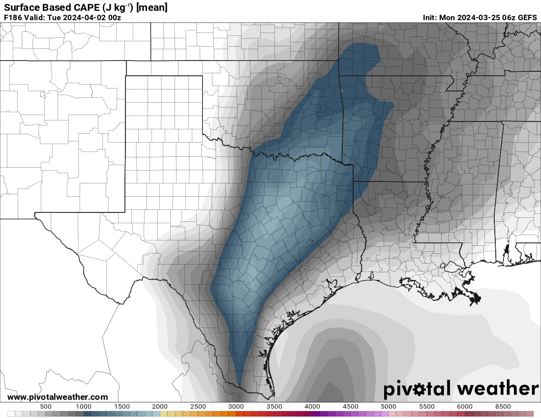
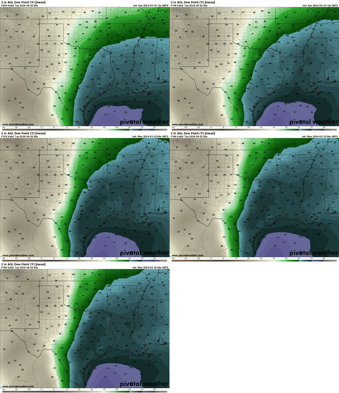
Stronger low-level mass response in this scenario would lead to
greater low-level moisture return, related stronger instability east
of a dryline, and a potentially better setup for severe convection
next Monday. Regardless, predictability remains far too low to add a
15% severe delineation at this extended time frame. But, trends will
be monitored.
0 likes
Bill 2015 & Beta 2020
Winter 2020-2021 
All observations are in Tecumseh, OK unless otherwise noted.
Winter posts are focused mainly for Oklahoma & Texas.
Take any of my forecasts with a grain of salt, refer to the NWS, SPC, and NHC for official information
Never say
Never with weather! Because
ANYTHING is possible!


