CrazyC83 wrote:First tornado confirmation:
New Munster area tornado - EF3
The New Munster/Wheatland tornado was EF3, and now the NWS is listing one of the smaller tornadoes in the city of Kenosha proper as an EF1
Moderator: S2k Moderators


CrazyC83 wrote:First tornado confirmation:
New Munster area tornado - EF3
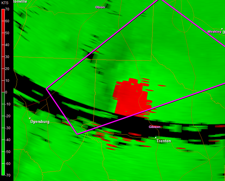
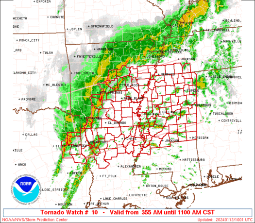
RL3AO wrote:BULLETIN - EAS ACTIVATION REQUESTED
TORNADO WARNING
NATIONAL WEATHER SERVICE MEMPHIS TN
321 PM CST TUE JAN 8 2008
THE NATIONAL WEATHER SERVICE IN MEMPHIS HAS ISSUED A
* TORNADO WARNING FOR...
NORTHEASTERN DYER COUNTY IN NORTHWEST TENNESSEE...
NORTHERN GIBSON COUNTY IN NORTHWEST TENNESSEE...
SOUTHERN OBION COUNTY IN NORTHWEST TENNESSEE...
SOUTHWESTERN WEAKLEY COUNTY IN NORTHWEST TENNESSEE...
* UNTIL 345 PM CST
* AT 321 PM CST...THE PUBLIC REPORTED A TORNADO NEAR ROELLEN...OR
ABOUT 9 MILES EAST OF DYERSBURG...MOVING NORTHEAST AT 60 MPH.
* OTHER LOCATIONS IN THE WARNING INCLUDE BUT ARE NOT LIMITED TO
DYER...RUTHERFORD...KENTON...GREENFIELD AND SHARON.
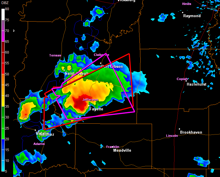
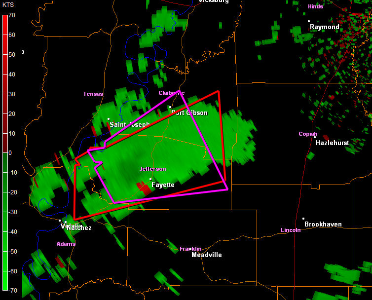
Ed Mahmoud wrote:How do you get such closeups of the radar?
RL3AO wrote:Ed Mahmoud wrote:How do you get such closeups of the radar?
It is a commercial software program.
http://www.grlevelx.com/


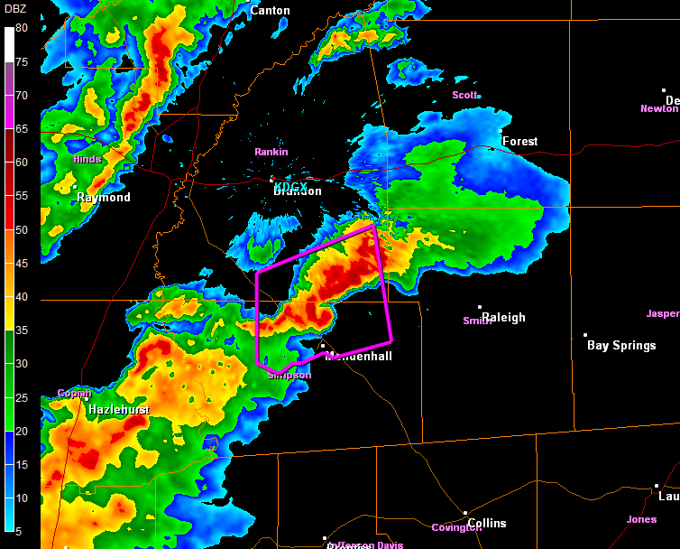
Category 5 wrote:Any damage reports from last night? Any tornadoes been rated yet?
Better yet, but against all hope, any photographs of the tornadoes?
Return to “USA & Caribbean Weather”
Users browsing this forum: cheezyWXguy, cstrunk, Google Adsense [Bot], Stratton23, WaveBreaking and 119 guests