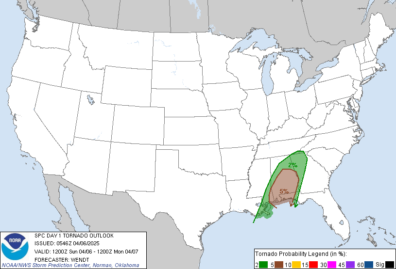
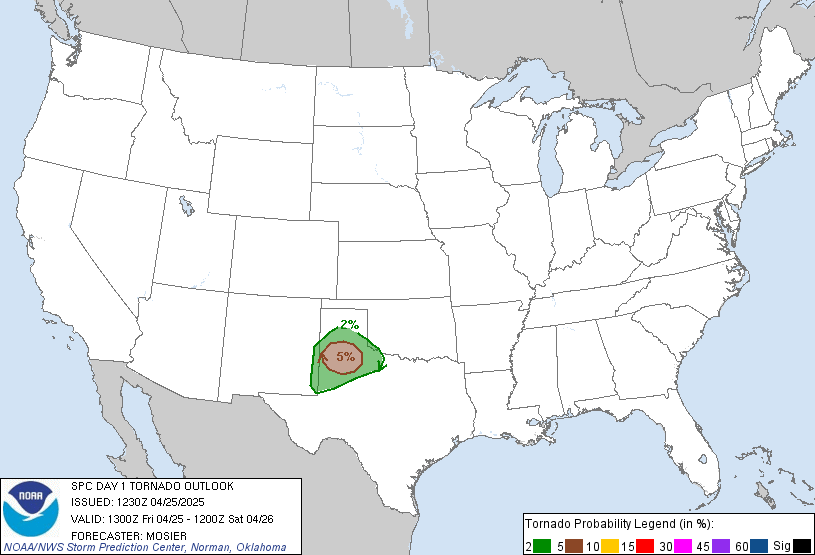
Now feast your eyes on this!

Moderator: S2k Moderators


wx247 wrote:The SPC seems to have backed off of their earlier graphic...

king of weather wrote:Looking very active for the Upper Midwest! Never seen (That i can recall - See Below) SPC go gang busters with the Tornado threat such as they have with this possible event for later today! All the dynamics are there for this outbreak. Plenty of Heating, Higher dews, very good upper levels. I would say that chasing looks to be excellent today in the areas mentioned above. A couple of hundred miles farther to the ese and i would be definetly out on the hunt! For those not into chasing keep your eyes on the sky and check back in for more updates as it is looking very bad and stormy out that way especially around the Twin Cities down to DesMoines, IA.

Hoosierwxdude wrote:king of weather wrote:Looking very active for the Upper Midwest! Never seen (That i can recall - See Below) SPC go gang busters with the Tornado threat such as they have with this possible event for later today! All the dynamics are there for this outbreak. Plenty of Heating, Higher dews, very good upper levels. I would say that chasing looks to be excellent today in the areas mentioned above. A couple of hundred miles farther to the ese and i would be definetly out on the hunt! For those not into chasing keep your eyes on the sky and check back in for more updates as it is looking very bad and stormy out that way especially around the Twin Cities down to DesMoines, IA.
Do you mean that you haven't seen them go gangbusters like this for THIS year? Because certainly there have been more impressive setups in the past. Here's one below...for example. I was under a PDS tornado watch that day and in the high risk area. The tornadoes stayed away though.
http://spc.noaa.gov/products/outlook/archive/2003/day1otlk_20030510_2000.html
Return to “USA & Caribbean Weather”
Users browsing this forum: No registered users and 182 guests