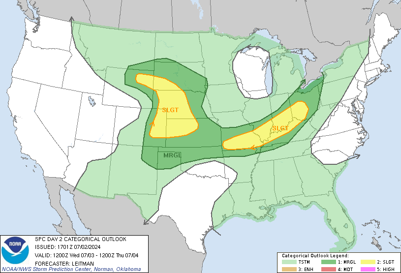
SPC already has a good chunk of the Gulf Coast outlined and mentions a possible upgrade to a moderate risk later on. It's usually never a good thing when they talk about upgrades this far out. This looks a good bit to the south of the Monday/Tuesday event.
http://www.spc.noaa.gov/products/outlook/day3otlk.html
Another Significant Severe Event Possible
Moderator: S2k Moderators
Forum rules
The posts in this forum are NOT official forecast and should not be used as such. They are just the opinion of the poster and may or may not be backed by sound meteorological data. They are NOT endorsed by any professional institution or STORM2K.
- Huckster
- Category 1

- Posts: 394
- Age: 44
- Joined: Fri Aug 13, 2004 2:33 am
- Location: Baton Rouge, LA
- Contact:
Rough weather still appears to be on the way for much of the Gulf coastal region by Saturday.
http://www.spc.noaa.gov/products/outlook/day2otlk.html
http://www.spc.noaa.gov/products/outlook/day2otlk.html
0 likes
That upgrade to a moderate risk has definitely been realized on the latest day 2 outlook. Anyone in this moderate risk area need to be on the lookout for strong/severe wind potential, large destructive hail up to baseball size, and also the potential for long tracked destructive tornadoes, the kind that could cause fatalities. Something that seriously needs to be watched by later Saturday afternoon. The possibility exists for scores of supercells with long tracked deadly tornadoes in the path. So this is a situation that needs to be taken very seriously from Louisiana eastward into Alabama and southwest Georgia as well.
The link for day 2 is here
http://www.spc.noaa.gov/products/outlook/day2otlk.html
The link for day 2 is here
http://www.spc.noaa.gov/products/outlook/day2otlk.html
0 likes
That is a concern. With dewpoints well into the 60s and 70s as opposed to the 50s and near 60, that's a big difference. Plus we got more than enough directional shear that any storm that develops will rotate and develop tornadoes, some again long lasting and violent possible.
In the meantime It's the relative calm before the big outbreak today.
Jim
In the meantime It's the relative calm before the big outbreak today.
Jim
0 likes
- Huckster
- Category 1

- Posts: 394
- Age: 44
- Joined: Fri Aug 13, 2004 2:33 am
- Location: Baton Rouge, LA
- Contact:
jeff wrote:The situation looks worse than the past event earlier this week as better moisture will be in place along with powerful dynamics.
A few long tracked violent tornadoes are possible over LA., MS, and AL.
SPC agrees in the latest Day 2 Outlook:
APPEARS THAT PRIMARY FACTOR INITIALLY LIMITING SIGNIFICANT TORNADO
THREAT SATURDAY WILL BE RELATIVELY WEAK LOW-LEVEL SHEAR FORECAST
ACROSS WARM SECTOR. HOWEVER...INCREASING AGEOSTROPHIC RESPONSE TO
DEEPENING SURFACE LOW WILL RESULT IN A CORRIDOR OF ENHANCED
LOW-LEVEL SHEAR AND RESULTANT GREATER THREAT OF
SIGNIFICANT...LONG-TRACKED TORNADOES SATURDAY NIGHT ACROSS PORTIONS
OF ERN/SERN LA...CNTRL/SRN MS AND CNTRL/SRN AL.
0 likes
- PTrackerLA
- Category 5

- Posts: 5281
- Age: 42
- Joined: Thu Oct 10, 2002 8:40 pm
- Location: Lafayette, LA
Looks like it could get nasty here tomorrow. But I don't get our NWS's position on this matter. They have completely downplayed it and don't even mention severe weather possible with only a 40% chance of storm Saturday night. I have a feeling it will be a little worse than that and with this being a big holiday weekend I don't see why they would err on the side of caution.


0 likes
-
CYCLONE MIKE
- Category 5

- Posts: 2183
- Joined: Tue Aug 31, 2004 6:04 pm
- Location: Gonzales, LA
I agree PTrackerLA, I was reading that discussion also. These weather office guys down here flip flop every update or so. At least for my area Baton Rouge/New Orleans they have at least aknowledged the severe weather potential but will not go as far as the SPC's prediciton until more model info comes in. Last night forecast was only 50% chance scattered storms for Sat/ Sat night. But if you read Jackson MS. discussion and forecast for the possible severe event the are already mentioning severe storms for the day and night tomorrow and sound a lot more concerned.
0 likes
PTrackerLA wrote:Looks like it could get nasty here tomorrow. But I don't get our NWS's position on this matter. They have completely downplayed it and don't even mention severe weather possible with only a 40% chance of storm Saturday night. I have a feeling it will be a little worse than that and with this being a big holiday weekend I don't see why they would err on the side of caution.
The main question with S LA is the capping intensity. Sounding from KLCH show a good cap in place and track of trough and surface low do not favor strong cooling aloft. Best energy (dynamics), moisture, and cooler air column will be over C LA into MS. SPC has likely outlooked all of S LA because if the cap is able to be broken then severe weather including tornadoes will be possible. Overall severe threat may be high, but the amount and coverage may be low (ie mod risk with 40% chance of coverage).
0 likes
-
CYCLONE MIKE
- Category 5

- Posts: 2183
- Joined: Tue Aug 31, 2004 6:04 pm
- Location: Gonzales, LA
- Huckster
- Category 1

- Posts: 394
- Age: 44
- Joined: Fri Aug 13, 2004 2:33 am
- Location: Baton Rouge, LA
- Contact:
CYCLONE MIKE wrote:Thanks for the the better explanation Jeff. So in my area of LA, Baton Rouge, you are thinking we could be more primed for more severe weather and greater coverage than points further to my west?
Here's part of this morning's forecast discussion from New Orleans:
A VERY DEEP STRENGTHENING UPPER TROUGH WILL BEGIN TO MAKE ITS WAY
INTO THE AREA THIS WEEKEND GIVING DYNAMIC SUPPORT TO A DEVELOPING
COLD FRONT WHICH WILL BRING STRONG SPRING STORMS TO THE
GULF COASTAL PRAIRIES/MARSHES. WILL HAVE TO CHALK ALL THREE
VARIABLES FOR SEVERE WEATHER THIS GO ROUND...TORNADOES, HAIL AND
STRONG WINDS. 0-3K HELICITY VALUES APPROACH 200 WHILE CAPE REACHES
~2000 JOULES AT THE SAME TIME SATURDAY EVENING. STRONG COLD AIR
ADVECTION BEGINS SAT MORNING AT 500MB CAUSING HEIGHT FALLS. WE
LOSE WHAT CAPPING WE HAVE BY SAT AFTERNOON AND BECOME
AUTOCONVECTIVE BY THAT EVENING. TS SHOULD HAVE NO PROBLEM
OBTAINING MOISTURE WITH THE AREA STAYING IN THE WARM SECTOR NEAR THE
SFC LOW MOVING NE. THE ACTIVITY SHOULD BE SFC BASED AND ALL
FEATURES WILL BE IN PLACE TO HAVE SEVERAL SEVERE TS. THE BEST TIME
FOR SEVERITY WILL BE FROM LATE SAT AFTERNOON THROUGH THE EVENING
UNTIL THE COLD FRONT PASSES SHORTLY AFTER MIDNIGHT. SPC ALSO
AGREES WITH THIS SCENARIO AND HAS SET US IN A MODERATE RISK OF
SEVERE TS. AFTER THE COLD FRONT PASSES, WE GET DRY SLOTTED AND ALL
THE WORRIES DISAPPEAR ONLY TO SHOW UP AGAIN IN THE FORM OF STRONG
SUSTAINED WINDS OVER THE MARINE ENVIRONMENT.
0 likes
Return to “USA & Caribbean Weather”
Who is online
Users browsing this forum: Brent and 34 guests


