Saturday?
Moderator: S2k Moderators
Forum rules

The posts in this forum are NOT official forecast and should not be used as such. They are just the opinion of the poster and may or may not be backed by sound meteorological data. They are NOT endorsed by any professional institution or STORM2K.

-
HurricaneHunter914
- Category 5

- Posts: 4439
- Age: 32
- Joined: Fri Mar 10, 2006 7:36 pm
- Location: College Station, TX
-
Skywatch_NC

- Category 5
- Posts: 10949
- Joined: Wed Feb 05, 2003 9:31 pm
- Location: Raleigh, NC
- Contact:
-
Skywatch_NC
- Category 5
- Posts: 10949
- Joined: Wed Feb 05, 2003 9:31 pm
- Location: Raleigh, NC
- Contact:
-
spinfan4eva
- Category 1

- Posts: 295
- Joined: Tue Aug 23, 2005 1:27 am
- Location: Jacksonville, Florida
- Contact:
Hopefully Florida gets rain and not an aweful lot of lightning this weekend though with the heat lately, lighning wont surprise me.
Florida Division of Emergency Management
http://www.floridadisaster.org/
Storm Prediction Center Products
http://www.spc.noaa.gov/products/
Florida KBDI
http://www.fl-dof.com/fire_weather/KBDI/4km_main.html

Florida Division of Emergency Management
http://www.floridadisaster.org/
Severe Weather Outbreak Expected in the Southern U.S. on Friday Afternoon and Night…Increased Winds and High Temperatures Elevate the Wildfire Danger in Central Florida on Friday Afternoon …
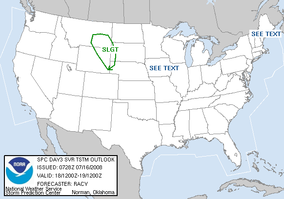
An intense storm system will move from the southern Plains states on Friday into the Tennessee River Valley by Friday night. The system will draw moisture from the Gulf of Mexico northward and create wind fields that will be conducive for a widespread severe weather outbreak on Friday afternoon in the southern U.S. The system's associated cold front will advance towards the western Florida panhandle on Friday night. The Storm Prediction Center indicates a slight risk of severe thunderstorms for the Florida panhandle on Friday night, with this risk continuing for the rest of north and north central Florida on Saturday . While the highest threat for tornadoes exists to the north of the state on Friday night, damaging wind gusts could accompany a squall line of thunderstorms that will progress across north Florida as the weekend begins. Frequent lightning strikes could ignite wildfires in these regions if widespread downpours do not occur.
Ahead of this storm system, south and southwesterly winds will increase across Florida during the day on Friday. High temperatures are forecast to approach 90 degrees across inland sections of the peninsula, and relative humidity values may fall to critical thresholds during the afternoon hours. The combination of these factors will increase the fire danger across central Florida on Friday afternoon.
Residents and visitors to the state should remain extremely cautious during the next few months as the wildfire danger increases. For more tips on how to make your community a safer place, please visit the Firewise Florida website.
Storm Prediction Center Products
http://www.spc.noaa.gov/products/
Florida KBDI
http://www.fl-dof.com/fire_weather/KBDI/4km_main.html
0 likes
Return to “USA & Caribbean Weather”
Who is online
Users browsing this forum: Brent and 57 guests