Storms in Houston next weekend?

U.S. & Caribbean Weather Discussions and Severe Weather Events

Moderator: S2k Moderators

Forum rules

The posts in this forum are NOT official forecast and should not be used as such. They are just the opinion of the poster and may or may not be backed by sound meteorological data. They are NOT endorsed by any professional institution or STORM2K.

Help Support Storm2K
Message
Author
User avatar
Extremeweatherguy
Category 5
Category 5
Posts: 11095
Joined: Mon Oct 10, 2005 8:13 pm
Location: Florida

Storms in Houston next weekend?

#1 Postby Extremeweatherguy » Fri Apr 14, 2006 8:11 pm

Well folks...the storms look like they may be returning to this area in about a week. The NWS has a 20% chance for mid next week, but a bigger threat will be next weekend. Looking at the models it seems that some nice strong, soaking showers and T-storms may be in the offing. Here is a look at the 18Z GFS for next Friday:

http://www.nco.ncep.noaa.gov/pmb/nwprod ... _168.shtml

Next Saturday:

http://www.nco.ncep.noaa.gov/pmb/nwprod ... _162.shtml

Next Sunday:

http://www.nco.ncep.noaa.gov/pmb/nwprod ... _216.shtml

And the week beyond next weekend looks to continue this trend! Our luck may just be about to turn around! :D
0 likes   

User avatar
Yankeegirl
Category 5
Category 5
Posts: 3417
Age: 49
Joined: Sun May 23, 2004 11:59 pm
Location: Cy-Fair, Northwest Houston
Contact:

#2 Postby Yankeegirl » Fri Apr 14, 2006 10:18 pm

Please dont tease us!!! Bring it on!! I forgot what the rain and thunder sounds like....
0 likes   

User avatar
southerngale
Retired Staff
Retired Staff
Posts: 27418
Joined: Thu Oct 10, 2002 1:27 am
Location: Southeast Texas (Beaumont area)

#3 Postby southerngale » Fri Apr 14, 2006 10:25 pm

I'll believe it when I see it. The last few times we've had rain expected (which isn't very often), it's fizzled out or just didn't make it this far south. I hope you're right though!
0 likes   

User avatar
Extremeweatherguy
Category 5
Category 5
Posts: 11095
Joined: Mon Oct 10, 2005 8:13 pm
Location: Florida

#4 Postby Extremeweatherguy » Sat Apr 15, 2006 8:49 pm

Models are still in agreement on storms starting late next week/next weekend and things look REALLY active the week after next. Here is the latest look at the GFS 18Z run for the Monday after next (216 hours out):

http://www.nco.ncep.noaa.gov/pmb/nwprod ... _216.shtml
0 likes   

User avatar
PTrackerLA
Category 5
Category 5
Posts: 5277
Age: 41
Joined: Thu Oct 10, 2002 8:40 pm
Location: Lafayette, LA

#5 Postby PTrackerLA » Sat Apr 15, 2006 9:48 pm

I honestly don't know when it will rain again around here. We've only had .18" since February 25th and the NWS discussions don't sound too positive for next weekend.
0 likes   

User avatar
Extremeweatherguy
Category 5
Category 5
Posts: 11095
Joined: Mon Oct 10, 2005 8:13 pm
Location: Florida

#6 Postby Extremeweatherguy » Sun Apr 16, 2006 4:13 pm

NWS now has a rain chance in the forecast starting Thursday and lasting through next weekend! There is a 30% chance on Thursday night/Friday, but it may get higher if organized thunderstorms look more likely. This could be our best shot at rain in some time...and if we are lucky, some strong thunderstorms will also be a result.
0 likes   

User avatar
Yankeegirl
Category 5
Category 5
Posts: 3417
Age: 49
Joined: Sun May 23, 2004 11:59 pm
Location: Cy-Fair, Northwest Houston
Contact:

#7 Postby Yankeegirl » Sun Apr 16, 2006 9:39 pm

Everybody, Keep your fingers crossed!!!!!!
0 likes   

User avatar
Extremeweatherguy
Category 5
Category 5
Posts: 11095
Joined: Mon Oct 10, 2005 8:13 pm
Location: Florida

#8 Postby Extremeweatherguy » Mon Apr 17, 2006 6:20 am

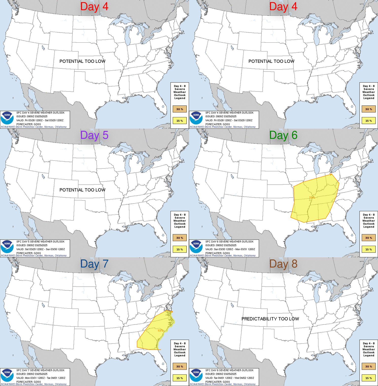
Image

DAY 4-8 CONVECTIVE OUTLOOK
NWS STORM PREDICTION CENTER NORMAN OK
0335 AM CDT MON APR 17 2006

VALID 201200Z - 251200Z

...DISCUSSION...

LATEST MEDIUM-RANGE GUIDANCE IS IN GENERALLY GOOD AGREEMENT THROUGH
DAY 5 /SATURDAY THE 22ND/ WITH EWD PROGRESSION OF UPPER LOW THROUGH
THE GREAT LAKES AND EVOLUTION OF NEXT UPSTREAM TROUGH OVER THE ERN
PACIFIC AND W COAST. THEREAFTER...DIFFERENCES ARISE IN STRENGTH OF
SRN STREAM IMPULSE MOVING THROUGH THE GULF COAST STATES AND IT/S
IMPACT ON EVOLUTION OF E COAST TROUGH. ALSO...17/00Z GFS INDICATES
A STRONG SHORTWAVE TROUGH DROPPING SEWD THROUGH THE NRN PLAINS BY
SUNDAY THE 23RD...AND THIS IS NOT DEPICTED IN EITHER THE ECMWF OR
THE MAJORITY OF ENSEMBLE MEMBERS.

THERE APPEARS TO BE SOME POTENTIAL FOR ORGANIZED SEVERE STORMS FROM
TX EWD ACROSS THE GULF COAST FROM FRIDAY APRIL 21ST THROUGH AT LEAST
SATURDAY APRIL 22ND. A MOIST LOW-LEVEL AIR MASS IS EXPECTED TO
PERSIST ALONG AND S OF A GENERALLY W-E FRONTAL BOUNDARY. SEVERE
STORMS WILL BE POSSIBLE AS AFOREMENTIONED SRN STREAM IMPULSE MOVES
ACROSS REGION AND INTERACTS WITH MOIST AND UNSTABLE AIR MASS S OF


Looks like the SPC also agrees that it is going to get active!
0 likes   

User avatar
jasons2k
Storm2k Executive
Storm2k Executive
Posts: 8245
Age: 51
Joined: Wed Jul 06, 2005 12:32 pm
Location: The Woodlands, TX

#9 Postby jasons2k » Mon Apr 17, 2006 9:51 am

Yep, each day it looks a little more promising. I just hope with the pattern change it sticks for awhile.
0 likes   

MiamiensisWx

#10 Postby MiamiensisWx » Mon Apr 17, 2006 10:04 am

Does Great Plains ridging enhance severe outbreaks further south?
0 likes   

User avatar
PTrackerLA
Category 5
Category 5
Posts: 5277
Age: 41
Joined: Thu Oct 10, 2002 8:40 pm
Location: Lafayette, LA

#11 Postby PTrackerLA » Mon Apr 17, 2006 1:27 pm

I'm keeping my fingers crossed, we could really use the rain!
0 likes   

User avatar
jasons2k
Storm2k Executive
Storm2k Executive
Posts: 8245
Age: 51
Joined: Wed Jul 06, 2005 12:32 pm
Location: The Woodlands, TX

#12 Postby jasons2k » Mon Apr 17, 2006 2:44 pm

Unfortunately this PM's AFD is not as encouraging....we'll see.
0 likes   

User avatar
wxmann_91
Category 5
Category 5
Posts: 8013
Age: 34
Joined: Fri Jul 15, 2005 2:49 pm
Location: Southern California
Contact:

#13 Postby wxmann_91 » Mon Apr 17, 2006 2:50 pm

CapeVerdeWave wrote:Does Great Plains ridging enhance severe outbreaks further south?


Great Plains ridging supresses severe most everywhere (well, maybe except the intermountain west, the Northern Plains, and Canada).

The upcoming pattern is one where an old frontal boundary will stall along the Gulf Coast and provide a focus for tstorm development each and every day until the pattern shifts. A stagnant pattern with troughing in the East and ridging in the West.
0 likes   

User avatar
Extremeweatherguy
Category 5
Category 5
Posts: 11095
Joined: Mon Oct 10, 2005 8:13 pm
Location: Florida

#14 Postby Extremeweatherguy » Mon Apr 17, 2006 2:57 pm

jschlitz wrote:Unfortunately this PM's AFD is not as encouraging....we'll see.
yeah I noticed the same thing. Let's hope the NWS is wrong and that we DO see this event unfold.
0 likes   

User avatar
LAwxrgal
S2K Supporter
S2K Supporter
Posts: 1763
Joined: Tue Jul 06, 2004 1:05 pm
Location: Reserve, LA (30 mi west of NOLA)

#15 Postby LAwxrgal » Mon Apr 17, 2006 4:15 pm

We need the rain. It's been BONE DRY and HOTTER THAN HELL. Unbelievable...for freakin' April, it doesn't feel like spring, it feels like July!
0 likes   
Andrew 92/Isidore & Lili 02/Bill 03/Katrina & Rita 05/Gustav & Ike 08/Isaac 12 (flooded my house)/Harvey 17/Barry 19/Cristobal 20/Claudette 21/Ida 21 (In the Eye)/Francine 24
Wake me up when November ends

User avatar
cctxhurricanewatcher
Category 5
Category 5
Posts: 1206
Joined: Sun Sep 12, 2004 8:53 pm
Location: Corpus Christi, Texas

#16 Postby cctxhurricanewatcher » Tue Apr 18, 2006 9:21 am

These GFS maps of potential rain events are just like the cold events that they kept on teasing us with this past winter.

The GFS just loves playing with our minds here in Texas. If we ever have an event with more than an inch of rain in my lifetime again, I'll be happy.
0 likes   

User avatar
Extremeweatherguy
Category 5
Category 5
Posts: 11095
Joined: Mon Oct 10, 2005 8:13 pm
Location: Florida

#17 Postby Extremeweatherguy » Tue Apr 18, 2006 5:36 pm

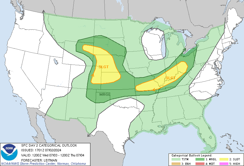
What's this? Hmm....looks like the Houston area will be danerously close to that slight risk area tomorrow...

Image

WIDELY SCATTERED STRONG/SEVERE THUNDERSTORMS APPEAR POSSIBLE FARTHER
UPSTREAM...ALONG STALLED FRONT ACROSS SOUTHEAST TEXAS INTO THE HILL
COUNTRY AND BIG BEND REGION. SOUTHEASTERLY SURFACE FLOW ACROSS
AREAS TO THE EAST/SOUTHEAST OF DEL RIO WILL CONTRIBUTE TO ISOLATED
SUPERCELL POTENTIAL BENEATH MODERATELY STRONG WESTERLY MID-LEVEL
FLOW. THIS ACTIVITY SHOULD DIMINISH DURING THE EVENING...BUT
ADDITIONAL...PERHAPS MORE WIDESPREAD...CONVECTIVE DEVELOPMENT IS
EXPECTED WEDNESDAY NIGHT WITH APPROACH OF UPSTREAM SOUTHERN BRANCH
TROUGH. THIS IS EXPECTED TO OCCUR IN ZONE OF STRONGER WARM
ADVECTION...NORTH OF RETREATING SURFACE FRONT ACROSS CENTRAL TEXAS.
CAPE OF 1000 TO 2000 J/KG FOR PARCELS BASED IN MOIST LAYER ABOVE
FRONTAL INVERSION IS EXPECTED TO SUPPORT VIGOROUS UPDRAFTS WITH RISK
OF LARGE HAIL.


It is strange that the NWS only has a 10% chance of storms tomorrow. Something tells me they might have to raise it to at least 20-30%.
0 likes   

User avatar
Extremeweatherguy
Category 5
Category 5
Posts: 11095
Joined: Mon Oct 10, 2005 8:13 pm
Location: Florida

#18 Postby Extremeweatherguy » Tue Apr 18, 2006 5:38 pm

Also, regarding today, I just realized that Central TX is now under a Severe Thunderstorm watch. I wonder if anything will creep into the Houston area?

Image

UPDATE: There have now been 2 hail reports out of the cluster of storms west of Austin. One report was for nickle sized hail and the other was for quarter sized hail. According to the SPC, they expect more storms to develope behind the main batch and they also expect storms to start moving SE through the evening. They say that you can expect storms to last for many hours. My hope is that one of these can get within 20 miles of my area so I can at least see some storm clouds/lightning (and a nice cooling outflow boundry would be nice too).

UPDATE 2 (9:30pm): It seems that there have been many more hail reports from this cluster. There have even been reports of hail over 4" in diameter! Anyone over in the hill country see any hail from this?
0 likes   

User avatar
Yankeegirl
Category 5
Category 5
Posts: 3417
Age: 49
Joined: Sun May 23, 2004 11:59 pm
Location: Cy-Fair, Northwest Houston
Contact:

#19 Postby Yankeegirl » Tue Apr 18, 2006 10:44 pm

It looks like it is still hanging together... I wish it would push into the area.. I am on the west side of Houston... It would be nice to hear a rumble or two...
0 likes   

User avatar
Roxy
S2K Supporter
S2K Supporter
Posts: 657
Joined: Mon Aug 16, 2004 7:58 am
Location: Houston (Clear Lake)

#20 Postby Roxy » Wed Apr 19, 2006 9:27 am

Yankeegirl wrote:It looks like it is still hanging together... I wish it would push into the area.. I am on the west side of Houston... It would be nice to hear a rumble or two...


I bet you guys on the west and North side will have a better chance than the rest of us.

Cross your fingers, my plants and grass need a nice soaking!
0 likes   


Return to “USA & Caribbean Weather”

Who is online

Users browsing this forum: 869MB and 30 guests