Severe weather for eastern australia 16th May to 24th

Weather events from around the world plus Astronomy and Geology and other Natural events.

Moderator: S2k Moderators

Forum rules

The posts in this forum are NOT official forecast and should not be used as such. They are just the opinion of the poster and may or may not be backed by sound meteorological data. They are NOT endorsed by any professional institution or STORM2K.

Help Support Storm2K
Message
Author
Supercell Hunters

Severe weather for eastern australia 16th May to 24th

#1 Postby Supercell Hunters » Fri May 12, 2006 11:23 pm

look like a large ECL or mini cyclone for eastern aussie coast in couple days!

[img]http://www.bellingen.com/weather/photos/tue%2023rd%20May.png [/img]

The models still have a low pressure system off the coast here but:

"An upper low will move into Qld on Monday and then move eastwards. This upper
low will most likely pass off the southern coast late in the week. As the low
moves eastwards it will destablize conditions so that from about Tuesday onwards
showers should become more scattered along the southern and central coasts and
penetrate into the adjacent inland. As well, this low will induce a trough off
the southern coast. This will result in strong winds developing along the
southern coast and cause seas to rise to rough."
By QLD BOM.

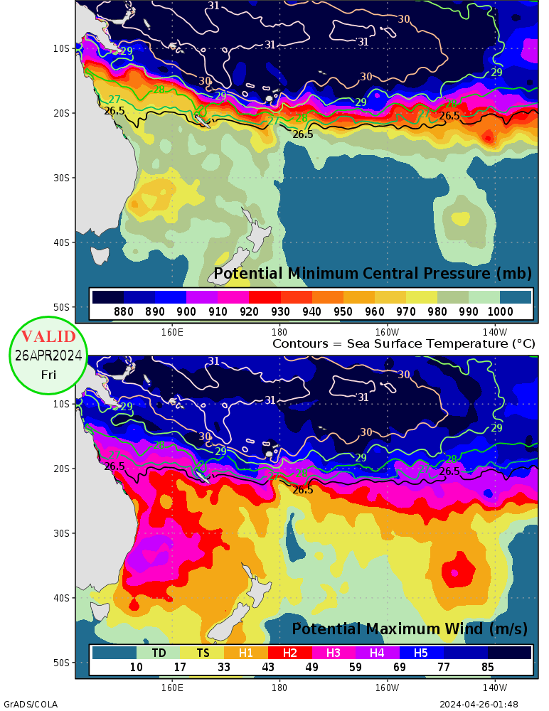
And the WXmaps site said:

http://wxmaps.org/pix/spacpot.png

Look like a category 2-3 cyclone@!

Looking awesome ahead and that would wet up Sydney dryness! :eek:
0 likes   

Supercell Hunters

#2 Postby Supercell Hunters » Sat May 13, 2006 2:35 am

I have looked through the GFS models and i surprised that showed large area of low pressure cell in the drought areas at S QLD, NSW, E SA and VIC! I comfirmed that would be very strong this time as it could bring large area of floods and gales.

First seven days GFS showed a good onshore showers along QLD and N NSW coasts between Monday and the event develops. I could see the low pressure would be SW of Perth atm that is attacking SA on later next week if possibility to see some changes that would be much earlier to hit.

http://www.weatherzone.com.au/charts/tw ... lp&hour=-1

Seven days after that on GFS extended forecasts showed a large area of low pressure cell would be turning into a large weather front, which be good for farmers and crops across the centre of Australia. At this point, the first low pressure would bring some squally winds across the SE states with highland snow and severe weather east of the Great Dividing Ranges, may little affect SE QLD. After the first low pressure hit, another low pressure starting to hit Perth and doing the same thing as the first one did!

http://www.weatherzone.com.au/charts/tw ... lp&hour=-1

Let hope this event up!!
0 likes   

Supercell Hunters

#3 Postby Supercell Hunters » Sun May 14, 2006 2:06 am

Looking very excellent for EC Australia during this week and next week, by 7 days GFS showing that E NSW and SE QLD might see some heavy falls from scattering showers. Possible hail and coastal thunderstorms would be some good chance south of Brisbane which it right on edge of the cold pool. There is a possible low pressure system in Coral Sea which that having a low chance to form into a TC in next 5 days, anyway Perth is hitting from a cold front tomorrow by scattering thunderstorms. Next Sunday, a little far out, the upper trough in Central QLD triggering some afternoon/evening thunderstorms and it spreading out onto EC Australia on next week (not this week).
http://www.weatherzone.com.au/charts/tw ... lp&hour=-1

The upper trough from central QLD is forming into a deep low pressure trough, looking that would bring some squally winds with some severe thunderstorms across eastern states. At this point, they seems like a typical summer pattern in northern NSW area and south of it would see some highland snow areas.
http://www.weatherzone.com.au/charts/tw ... lp&hour=-1

Any comments?
0 likes   


Return to “Global Weather”

Who is online

Users browsing this forum: No registered users and 2 guests