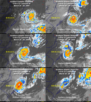
Doesn't look very organized at all, but some models develop it into a cyclone. Let's wait and see.
Satellite Image
Invest 96E
Moderator: S2k Moderators
Forum rules
The posts in this forum are NOT official forecasts and should not be used as such. They are just the opinion of the poster and may or may not be backed by sound meteorological data. They are NOT endorsed by any professional institution or STORM2K. For official information, please refer to products from the National Hurricane Center and National Weather Service.
- SupertyphoonTip
- Tropical Depression

- Posts: 77
- Joined: Sat May 29, 2004 12:50 am
- Location: Cape Cod, Massachusetts
Invest 96E
0 likes
Who is online
Users browsing this forum: JoshwaDone, Ulf and 40 guests


