Bahamas Tracking Map
Moderator: S2k Moderators
Forum rules

The posts in this forum are NOT official forecasts and should not be used as such. They are just the opinion of the poster and may or may not be backed by sound meteorological data. They are NOT endorsed by any professional institution or STORM2K. For official information, please refer to products from the National Hurricane Center and National Weather Service.
-
Cyclone Runner

- Category 1

- Posts: 409
- Joined: Wed Aug 11, 2004 9:29 pm
- Location: Crows Nest, NSW, Australia
- Contact:
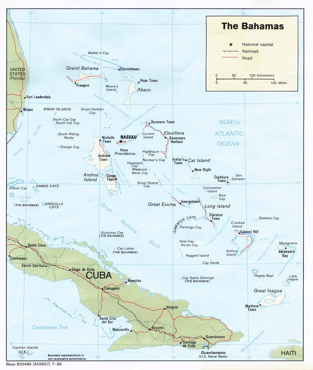
Bahamas Tracking Map
Here is a good map to use while tracking the cyclone through the Bahamas.
0 likes


-
Cyclone Runner
- Category 1
- Posts: 409
- Joined: Wed Aug 11, 2004 9:29 pm
- Location: Crows Nest, NSW, Australia
- Contact:
-
Cyclone Runner
- Category 1
- Posts: 409
- Joined: Wed Aug 11, 2004 9:29 pm
- Location: Crows Nest, NSW, Australia
- Contact:
Who is online
Users browsing this forum: No registered users and 130 guests