
I'm guessing the models are latching into something developing further north and then take it WNW and recurve...it wil lbe interesting to see how well that side of things verify.
Consensus looks decent enough to me though IMO could be a little to the west.
Disturbance over the eastern Atantic
Moderator: S2k Moderators
Forum rules

The posts in this forum are NOT official forecasts and should not be used as such. They are just the opinion of the poster and may or may not be backed by sound meteorological data. They are NOT endorsed by any professional institution or STORM2K. For official information, please refer to products from the National Hurricane Center and National Weather Service.
0 likes
Personal Forecast Disclaimer:
The posts in this forum are NOT official forecast and should not be used as such. They are just the opinion of the poster and may or may not be backed by sound meteorological data. They are NOT endorsed by any professional institution or storm2k.org. For official information, please refer to the NHC and NWS products
The posts in this forum are NOT official forecast and should not be used as such. They are just the opinion of the poster and may or may not be backed by sound meteorological data. They are NOT endorsed by any professional institution or storm2k.org. For official information, please refer to the NHC and NWS products
-
cycloneye

- Admin

- Posts: 148733
- Age: 69
- Joined: Thu Oct 10, 2002 10:54 am
- Location: San Juan, Puerto Rico
Re: Disturbance over the eastern Atantic
This wave just emerging Africa may be the one the models are latching to.

0 likes
Visit the Caribbean-Central America Weather Thread where you can find at first post web cams,radars
and observations from Caribbean basin members Click Here
and observations from Caribbean basin members Click Here

-
HURAKAN

- Professional-Met

- Posts: 46086
- Age: 38
- Joined: Thu May 20, 2004 4:34 pm
- Location: Key West, FL
- Contact:
Re:
RL3AO wrote:Those are some amazing looking waves.
Yes. What amazes me about this year is that all the systems have originated in the tropics. Nothing of subtropical or extratropical origins. That's weird.
0 likes


Re: Disturbance over the eastern Atantic
Strong wave, just off the coast of Africa, Watch out?
0 likes

Re: Disturbance over the eastern Atantic
Gusty, the problem with meteosat, the satellite image is updated every 6 hours, this image you posted is a old one.
0 likes
-
TwisterFanatic

- Category 5

- Posts: 1041
- Joined: Mon Jun 28, 2010 12:43 pm
- Location: Sallisaw, Oklahoma
Just got mentioned on TWC earlier.. so it is definitely something to watch.
0 likes
Personal Forecast Disclaimer:
The posts in this forum are NOT official forecast and should not be used as such. They are just the opinion of the poster and may or may not be backed by sound meteorological data. They are NOT endorsed by any professional institution or storm2k.org. For official information, please refer to the NHC and NWS products.
The posts in this forum are NOT official forecast and should not be used as such. They are just the opinion of the poster and may or may not be backed by sound meteorological data. They are NOT endorsed by any professional institution or storm2k.org. For official information, please refer to the NHC and NWS products.

-
cycloneye
- Admin
- Posts: 148733
- Age: 69
- Joined: Thu Oct 10, 2002 10:54 am
- Location: San Juan, Puerto Rico
Re: Disturbance over the eastern Atantic
OURAGAN wrote:Gusty, the problem with meteosat, the satellite image is updated every 6 hours, this image you posted is a old one.
The image I posted up on this page updates every 15 minutes.
0 likes
Visit the Caribbean-Central America Weather Thread where you can find at first post web cams,radars
and observations from Caribbean basin members Click Here
and observations from Caribbean basin members Click Here
Re: Disturbance over the eastern Atantic
Here is a good link, updated every 30 minutes:
http://www.nrlmry.navy.mil/sat-bin/disp ... C_SCALE=25
http://www.nrlmry.navy.mil/sat-bin/disp ... C_SCALE=25
0 likes

-
ConvergenceZone
.gif)
- Category 5
- Posts: 5241
- Joined: Fri Jul 29, 2005 1:40 am
- Location: Northern California

Its a rather messy pattern but I don't think the GFS is picking up on the convection that has just left Africa, not unless that convection really races westwards, but it may well interact with whatever is trying to get going out there in the ITCZ I'd guess much the same way we had 90L/Colin interact.
0 likes
Personal Forecast Disclaimer:
The posts in this forum are NOT official forecast and should not be used as such. They are just the opinion of the poster and may or may not be backed by sound meteorological data. They are NOT endorsed by any professional institution or storm2k.org. For official information, please refer to the NHC and NWS products
The posts in this forum are NOT official forecast and should not be used as such. They are just the opinion of the poster and may or may not be backed by sound meteorological data. They are NOT endorsed by any professional institution or storm2k.org. For official information, please refer to the NHC and NWS products
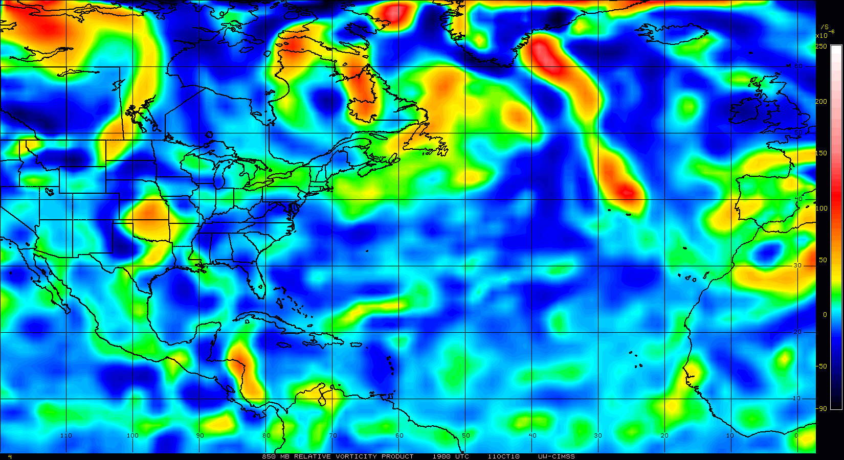
Looks like its trying to concentrate in the middle of all the convection, I'm going to say until we see an area of convection that tries to split off to the north away from the convection, we probably will keep this messy set-up with multiple regions of Vorts trying to get going.
0 likes
Personal Forecast Disclaimer:
The posts in this forum are NOT official forecast and should not be used as such. They are just the opinion of the poster and may or may not be backed by sound meteorological data. They are NOT endorsed by any professional institution or storm2k.org. For official information, please refer to the NHC and NWS products
The posts in this forum are NOT official forecast and should not be used as such. They are just the opinion of the poster and may or may not be backed by sound meteorological data. They are NOT endorsed by any professional institution or storm2k.org. For official information, please refer to the NHC and NWS products
-
alienstorm

- Category 1

- Posts: 496
- Joined: Tue Jul 31, 2007 1:29 pm
- Location: Miami Fla western suburb
Re: Disturbance over the eastern Atantic
We may very well see two separate storms, one from the disturbance at 40 west or there abouts, and the other with the one exiting Africa. One will recurve the 40 west one and the other may come in underneath as the high builds in after the precessor exits.
0 likes
Personal Forecast Disclaimer:The posts in this forum are NOT official forecast and should not be used as such. They are just the opinion of the poster and may or may not be backed by sound meteorological data. They are NOT endorsed by any professional institution or storm2k.org. For official information, please refer to the NHC and NWS products.
Who is online
Users browsing this forum: No registered users and 91 guests