
AutoPenalti wrote:So I guess we can throw the GFS solutions out the window.
Until it properly models the favorable MJO moving into the Atlantic, we will have to ignore it.
Moderator: S2k Moderators

AutoPenalti wrote:So I guess we can throw the GFS solutions out the window.


gatorcane wrote:The GMAO (Global Model Assimilation Office) model (NASA) model may be something to bookmark. They have extended the runs out through 240 hours (00Z only) and it is run twice a day at 12Z and 00Z. I do not know the accuracy of this model. If anybody has additional info on this model, pls share:
https://fluid.nccs.nasa.gov/wxmaps//?on ... eld=precip


Steve wrote:GFS is beginning to slide toward the EC-ICON alliance developing low pressure in the Western Caribbean. Interestingly it also wants to bring the second low at least into the Caribbean. I haven't been paying as close attention to that one, but it seemed like since some of the other models started showing it, it was usually in the northeast Leewards. We'll have to see how this evolves as any down-the-line threat from the big wave could be adjusted left or right in a few days on the models.
GFS 180 Hours
https://www.tropicaltidbits.com/analysi ... 612&fh=180
ICON 180 Hours
https://www.tropicaltidbits.com/analysi ... 612&fh=180
I'll come back and post the CMC 180 frame once it's out. It's also seeming to come around to the EC/Icon's solution of 2 closed low pressure systems.

aspen wrote:Steve wrote:GFS is beginning to slide toward the EC-ICON alliance developing low pressure in the Western Caribbean. Interestingly it also wants to bring the second low at least into the Caribbean. I haven't been paying as close attention to that one, but it seemed like since some of the other models started showing it, it was usually in the northeast Leewards. We'll have to see how this evolves as any down-the-line threat from the big wave could be adjusted left or right in a few days on the models.
GFS 180 Hours
https://www.tropicaltidbits.com/analysi ... 612&fh=180
ICON 180 Hours
https://www.tropicaltidbits.com/analysi ... 612&fh=180
I'll come back and post the CMC 180 frame once it's out. It's also seeming to come around to the EC/Icon's solution of 2 closed low pressure systems.
12z ICON is really close to yesterday’s 12z CMC, and just as concerning. Any strengthening TC in the Gulf has the potential to bomb out with SSTs reaching and exceeding 30C in that region.

Aric Dunn wrote:shouldn't these posts be in the two threads. for central atlantic and wave off africa. since that is what the models are developing.
Aric Dunn wrote:shouldn't these posts be in the two threads. for central atlantic and wave off africa. since that is what the models are developing.


Steve wrote:LOL. I'm not even going to post this one, and props to it if it gets it right. But at 258, GFS has massive Atlantic-wide ridging, and it's showing yet another EPAC development.
https://www.tropicaltidbits.com/analysi ... 612&fh=258


gatorcane wrote:Steve wrote:LOL. I'm not even going to post this one, and props to it if it gets it right. But at 258, GFS has massive Atlantic-wide ridging, and it's showing yet another EPAC development.
https://www.tropicaltidbits.com/analysi ... 612&fh=258
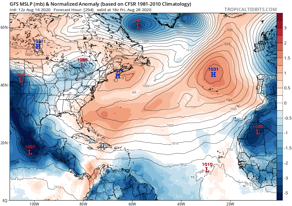
Out a little farther at 288 the GFS looks even more grim for the Atlantic. Has most of the basin in high pressure and all of the favorable conditions failing to get east of the mountains of Central America. The model loves the EPAC and has no love for the Atlantic. Bring back the GFS phantom canes!
https://i.postimg.cc/gcSYccdM/gfs-mslpa-Norm-atl-50.png
Users browsing this forum: Iceresistance, pepecool20, Yellow Evan and 209 guests

