


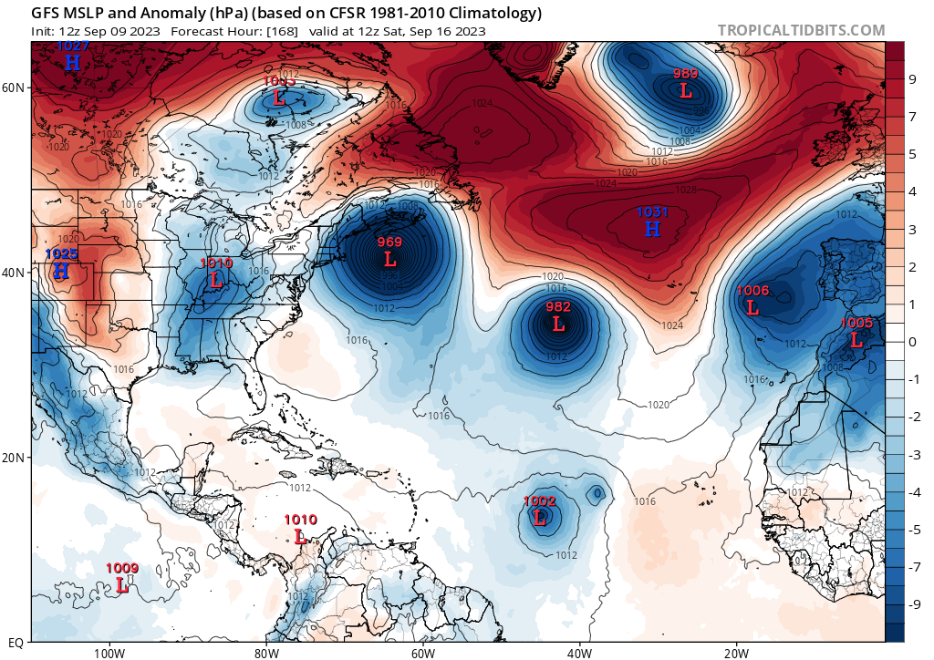
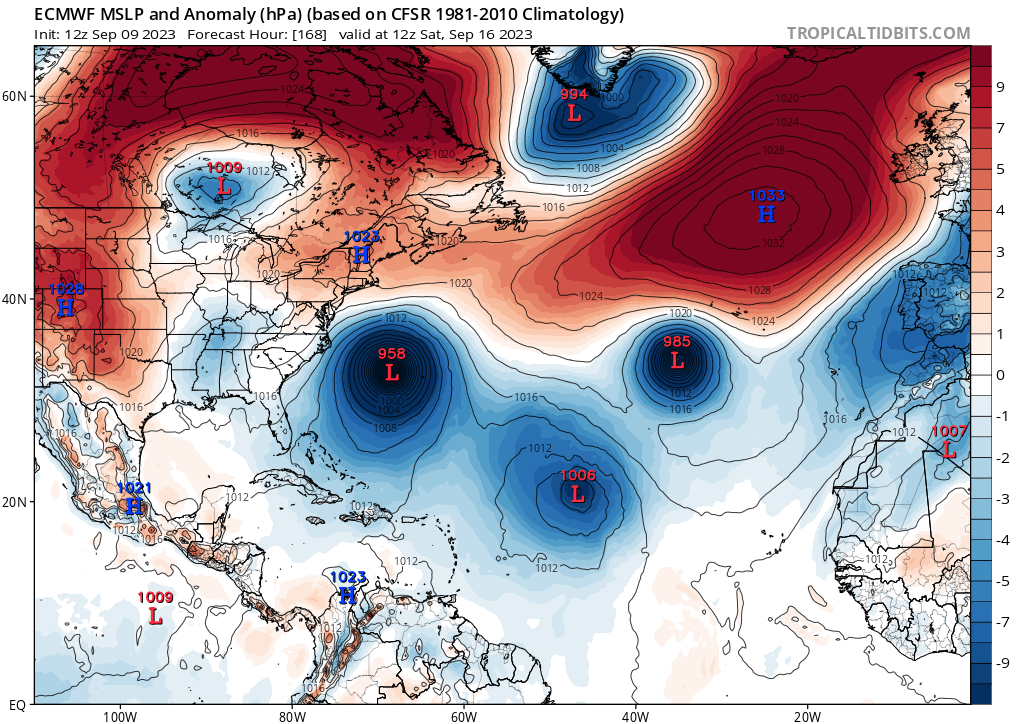
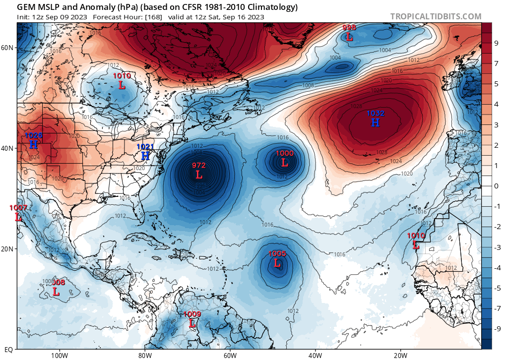
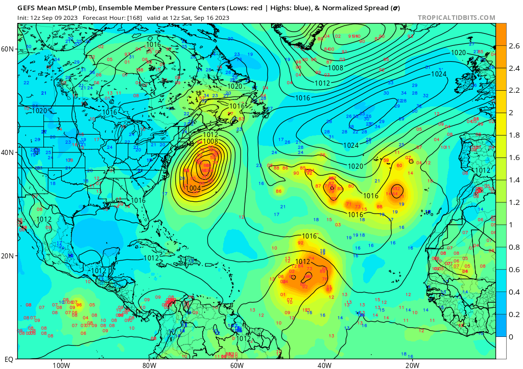
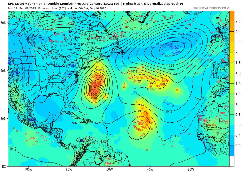
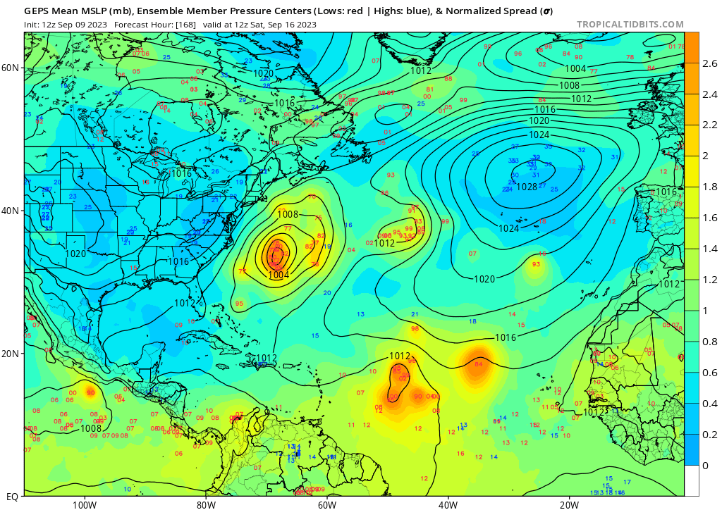
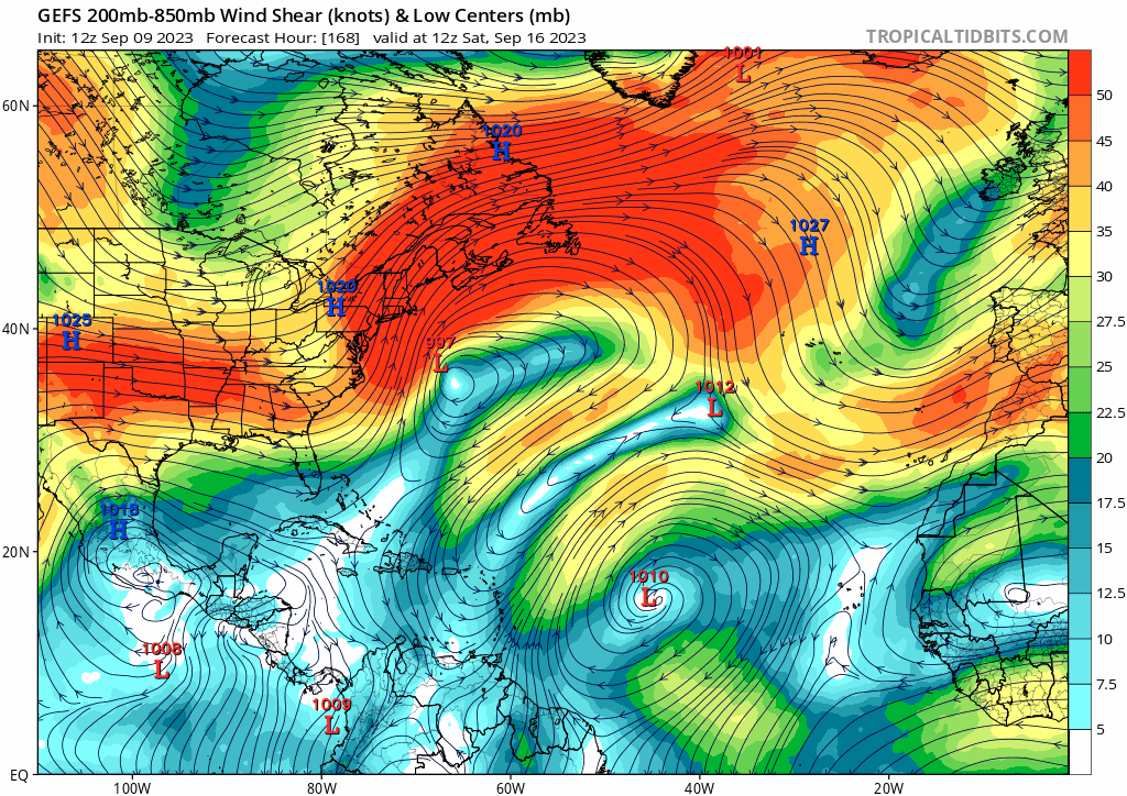
gatorcane wrote:Last few runs of the long-range GFS and GEFS are showing what look like the westerlies ripping across the Gulf and Florida in the wake of Lee. Given the El Niño, I would not be surprised if the westerlies do become more dominant over the Gulf and possibly Caribbean as we head into late September and October:
https://i.postimg.cc/Jn3r1K6b/gfs-ens-shear-atl-fh168-300.gif
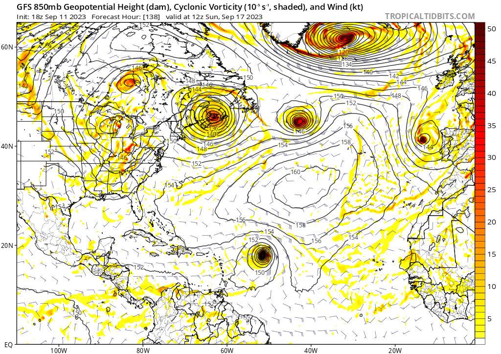
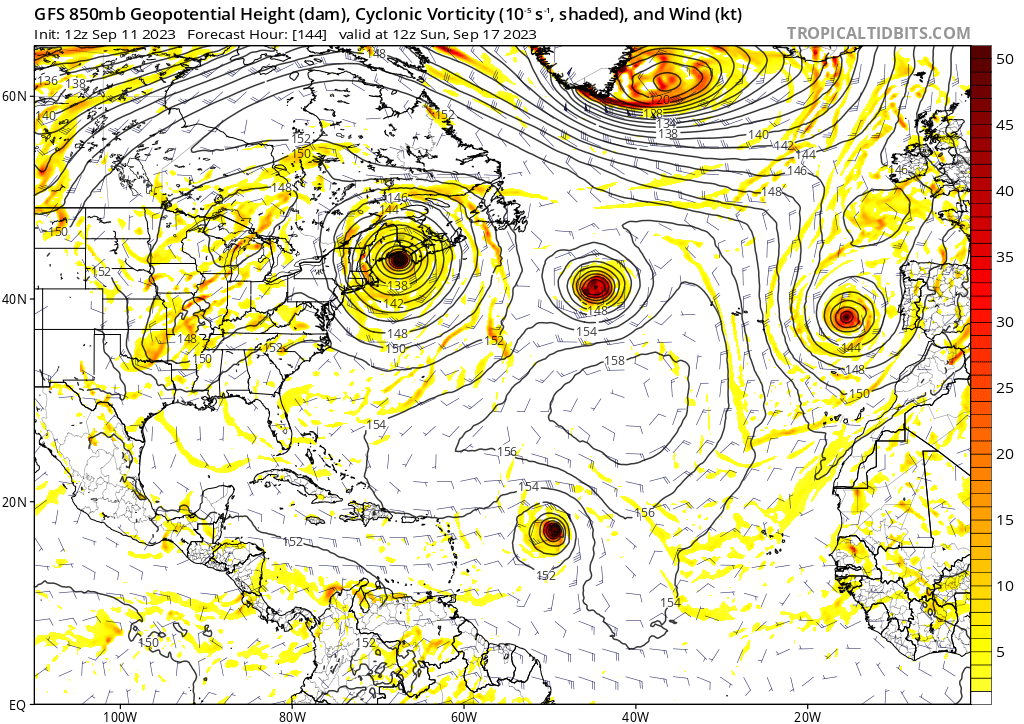
Whew? Sure does! Long range still keeping the overall trough pattern in the east but THAT shear?! That's the 'ol NINO we've come to know and love LOL. Hopefully that'll become persistent.


