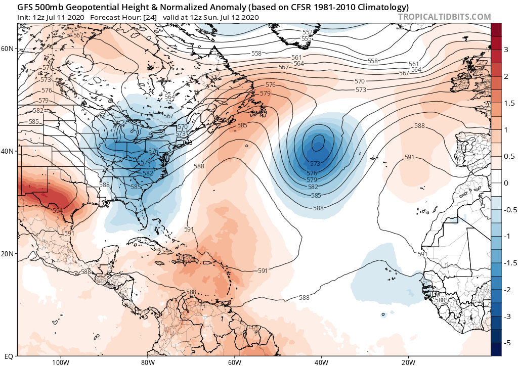
gatorcane wrote:The SAL will eventually subside and the hurricanes will come but the early indicators to me continue to suggest a weaker Bermuda High than seen in 2016-2017 allowing storms to potentially recurve well east of the US and potentially the islands. In years past July featured strong ridging especially 2016-2017. All bets are off though for Western Caribbean or storms that form in the Gulf.
Gatorcane were are you getting such data? Just going by the euro precipitation it’s forecasting a stronger then normal high. Infact this current pattern if it sticks which is always a timing issue is very dangerous.
https://twitter.com/webberweather/statu ... 76832?s=21