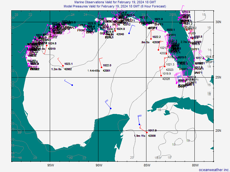
The posts in this forum are NOT official forecast and should not be used as such. They are just the opinion of the poster and may or may not be backed by sound meteorological data. They are NOT endorsed by any professional institution or storm2k.org. For official information, please refer to the NHC and NWS products. Really looks like something is trying hard to organize just SW of FL;
don't be surprised if this picks up the winds and sends heavy rains with
squalls tomorrow and tonight. Already a squall blowing through Saint
Petersburg/Clearwater airport Produced E 25 Gust 37 mph, now the
wind is calmer, until the next squall. The complex is looking symmetrical
and I see development taking place. At the very least a tropical depression
within 24-30 hours, and possibly a tropical storm over those warm waters,
low shear, upper level ridge by day 3 (Thursday).
http://radar.weather.gov/ridge/radar.ph ... 11&loop=no