euro6208 wrote:Chacor wrote:euro6208 wrote:at this time last year, we were on our 15th tropical cyclone
No, we weren't, because the JTWC isn't official.
yeah i know that but JTWC uses 1 minute classification just like NHC and thats all that matters...
Still waiting for your two cat 5 landfalls
dwsqos2 wrote:With such glorious named storms as Haiting and Tokage, using named systems as a metric of seasonal activity is a bad idea. Actually Banyan hasn't been much better given that it has had such a poorly defined low-level circulation for much of its exsitence.
Looking at Ryan Maue's site, current WPAC ACE sits at 203.14; the to-date climatological mean is 216. The WPAC is running below average. It joins every other basin in the world with a pathetic season.
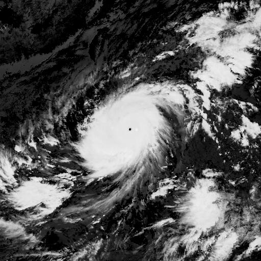
This season has been far from pathetic. I guess you must have missed typhoon Songda in May, the ridiculous Wilma-esque explosive intensification of typhoon Muifa (or as our friend Storming likes to call it "Mafia"