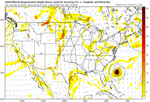
StormLogic wrote:18z NAM spins her up over land
https://media.giphy.com/media/XFjRL8THlckbiJHVXv/giphy.gif
Well, if Julia could do it...
Moderator: S2k Moderators


StormLogic wrote:18z NAM spins her up over land
https://media.giphy.com/media/XFjRL8THlckbiJHVXv/giphy.gif


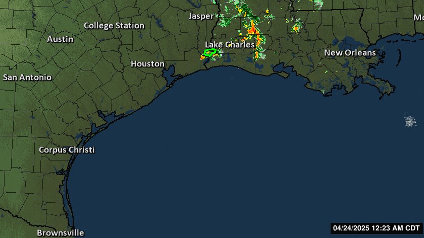
StormLogic wrote:http://cdn.tegna-media.com/khou/weather/animated-loops/comp/1280x720/txgulf_anim.gif
found this

KatDaddy wrote:Our Houston-Galveston NWS sums the knowns and unknowns very well in this afternoon’s Area Forecast Discussion and why need to be weather aware in SE TX through the rest of week:
.MID TERM [Tuesday Night Through Thursday]...
What we know:
- Ground will gradually become increasingly saturated with periods of rainfall and more prone to runoff.
- Upper low will make its way northward into southeast Texas, but ikely stall and meander over the area due to higher pressure to the north.
- Moisture levels will be near record peak values recorded this time of year. Rain rates of 1-3"+ per hour are possible at times. Heavy rain in a short amount of time will be the primary trigger for street flooding and rises on area creeks, bayous and rivers.
- A weak surface low will slowly move northward from the Coastal Bend to near the Matagorda Bay area Tuesday night and Wed morning setting the stage for the first potential round of heavy rainfall...possibly in the form of training convective bands closer to the circulation itself...gradually spreading out thru the day with heating.
- In very general terms, the surface low will meander northward Wed & Thur...possibly situated between the Brazos Valley and I-45 late in the period.
- Multiple rounds of precipitation are expected with some
intermittent breaks in between.
- There will be changing, potentially large run-to-run swings of model solutions. Don`t focus on just one. Just know the overall conditions are favorable for heavy rain which could cause flooding.
What are some of the unknowns:
- Just how organized or unorganized atmospheric conditions line-up for prime and/or significant amounts of rain.
- Specific rain amounts. There will be several inches spread out over several days. Focus on the impacts!
- Specific timing/location of the periods of heaviest rainfall.
Can occur at any time and any place. They`ll be dependent on several variables which can be difficult to determine even 6-12 hours out. Just know there are signals there for significant rain and associated flash flood impacts.
- Specific river/creek/bayou impacts. It`ll be dependent on where and how much rain falls. Rises and flooding impacts can be expected where the heaviest rain occurs.
setxweathergal64 wrote:KatDaddy wrote:Our Houston-Galveston NWS sums the knowns and unknowns very well in this afternoon’s Area Forecast Discussion and why need to be weather aware in SE TX through the rest of week:
.MID TERM [Tuesday Night Through Thursday]...
What we know:
- Ground will gradually become increasingly saturated with periods of rainfall and more prone to runoff.
- Upper low will make its way northward into southeast Texas, but ikely stall and meander over the area due to higher pressure to the north.
- Moisture levels will be near record peak values recorded this time of year. Rain rates of 1-3"+ per hour are possible at times. Heavy rain in a short amount of time will be the primary trigger for street flooding and rises on area creeks, bayous and rivers.
- A weak surface low will slowly move northward from the Coastal Bend to near the Matagorda Bay area Tuesday night and Wed morning setting the stage for the first potential round of heavy rainfall...possibly in the form of training convective bands closer to the circulation itself...gradually spreading out thru the day with heating.
- In very general terms, the surface low will meander northward Wed & Thur...possibly situated between the Brazos Valley and I-45 late in the period.
- Multiple rounds of precipitation are expected with some
intermittent breaks in between.
- There will be changing, potentially large run-to-run swings of model solutions. Don`t focus on just one. Just know the overall conditions are favorable for heavy rain which could cause flooding.
What are some of the unknowns:
- Just how organized or unorganized atmospheric conditions line-up for prime and/or significant amounts of rain.
- Specific rain amounts. There will be several inches spread out over several days. Focus on the impacts!
- Specific timing/location of the periods of heaviest rainfall.
Can occur at any time and any place. They`ll be dependent on several variables which can be difficult to determine even 6-12 hours out. Just know there are signals there for significant rain and associated flash flood impacts.
- Specific river/creek/bayou impacts. It`ll be dependent on where and how much rain falls. Rises and flooding impacts can be expected where the heaviest rain occurs.
Can someone pls explain the difference in the upper level low and a weak surface low? It almost sounds like 2 different systems. It says one into matagorda bay and one into SETX. I'm in SETX and have a vested interest.


cycloneye wrote:Disorganized showers and thunderstorms over the northwestern Gulf of
Mexico are associated with a broad area of low pressure. Some slow
development of this system is possible before it moves inland along
the northwestern Gulf coast Tuesday night. Regardless of
development, this system is expected to produce locally heavy
rainfall and possible flash flooding along portions of the central
and upper Texas coastal areas later this week. For additional
information, see products issued by your local weather forecast
office and the Weather Prediction Center.
* Formation chance through 48 hours...low...20 percent.
* Formation chance through 5 days...low...20 percent.


Users browsing this forum: Bashfulpixie and 224 guests


