LarryWx wrote:cycloneye wrote:Good post from MIchael Lowry.
https://x.com/MichaelRLowry/status/1962863383767638380
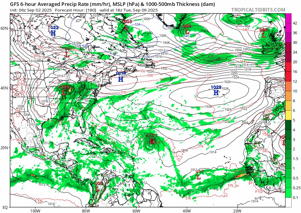
Has anyone seen a Google Deepmind ensemble update since this Lowry tweet about the somewhat threatening 0Z 9/2 run to the Caribbean (it had 6 TCs into the E Caribbean)?
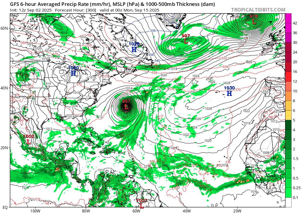
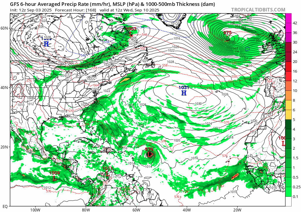
Here's this mornings run. The blue is the deep mind TC model and the green is Googles probabilistic ML model