Low Pressure in the NW Caribbean/SE GOM: 1006mb
Moderator: S2k Moderators
Forum rules
The posts in this forum are NOT official forecasts and should not be used as such. They are just the opinion of the poster and may or may not be backed by sound meteorological data. They are NOT endorsed by any professional institution or STORM2K. For official information, please refer to products from the National Hurricane Center and National Weather Service.
- MusicCityMan
- Category 1

- Posts: 483
- Joined: Sat Feb 17, 2007 10:57 pm
- Location: Somewhere in Central Florida
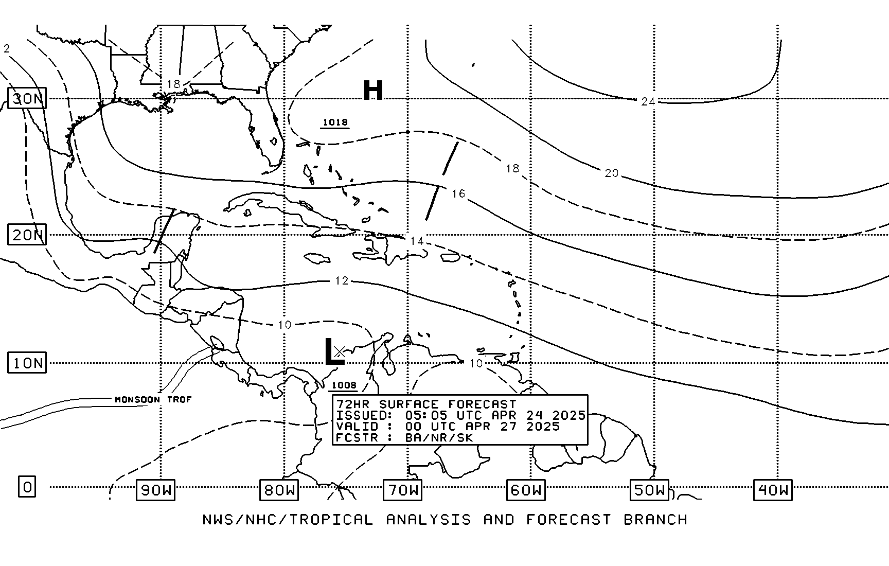
SFC TROUGH EXTENDS FROM THE CAYMAN ISLANDS TO A 1008 MB SFC
LOW LOCATED NEAR 11N80W AT 20/1800 UTC. THE WIND SHIFT
ASSOCIATED WITH THIS TROUGH IS CLEARLY DEFINED ON SURFACE DATA
AS WELL AS ON A QUIKSCAT PASS FROM THIS MORNING...WHICH SHOWED
MODERATE ELY TRADES E OF THE TROUGH AXIS AND LIGHT NELY WINDS TO
THE W. CLUSTERS OF MODERATE/ISOLATED STRONG CONVECTION ARE
ASSOCIATED WITH THE TROUGH/LOW. THIS SHOWER/TSTM ACTIVITY
AFFECTS THE CARIBBEAN PLAINS OF NICARAGUA...THE SW CARIBBEAN AND
JAMAICA. MODERATE TO STRONG CONVECTION IS ALSO SEEN OVER PANAMA
AND COSTA RICA DUE TO THE PRESENCE OF THE EPAC ITCZ AND A
DIFLUENT PATTERN ALOFT.
0 likes
Cirulation more evident by ship reports:
21/12 MHNO6 10.5 -78.6 26.0 24.6 260 10 1010.7 0.0 28.0 MHNO6
http://coolwx.com/buoydata/data/t-01/carib-analysis.png
Now an invest in the E PAC floater page
http://www.ssd.noaa.gov/PS/TROP/floaters.html
http://www.ssd.noaa.gov/goes/flt/t9/vis-l.jpg
21/12 MHNO6 10.5 -78.6 26.0 24.6 260 10 1010.7 0.0 28.0 MHNO6
http://coolwx.com/buoydata/data/t-01/carib-analysis.png
Now an invest in the E PAC floater page
http://www.ssd.noaa.gov/PS/TROP/floaters.html
http://www.ssd.noaa.gov/goes/flt/t9/vis-l.jpg
Last edited by drezee on Mon May 21, 2007 9:31 am, edited 1 time in total.
0 likes
drezee wrote:Now an invest in the E PAC
http://www.ssd.noaa.gov/PS/TROP/floaters.html
http://www.ssd.noaa.gov/goes/flt/t9/vis-l.jpg
Not official on NRL...
0 likes
Chacor wrote:drezee wrote:Now an invest in the E PAC
http://www.ssd.noaa.gov/PS/TROP/floaters.html
http://www.ssd.noaa.gov/goes/flt/t9/vis-l.jpg
Not official on NRL...
It is on the floater page. Not official from NRL true
0 likes
drezee wrote:Chacor wrote:drezee wrote:Now an invest in the E PAC
http://www.ssd.noaa.gov/PS/TROP/floaters.html
http://www.ssd.noaa.gov/goes/flt/t9/vis-l.jpg
Not official on NRL...
It is on the floater page. Not official from NRL true
I wonder why they should declare an invest on a low in another basin. The low is still in the Atlantic.
0 likes
- MusicCityMan
- Category 1

- Posts: 483
- Joined: Sat Feb 17, 2007 10:57 pm
- Location: Somewhere in Central Florida
- gatorcane
- S2K Supporter

- Posts: 23708
- Age: 48
- Joined: Sun Mar 13, 2005 3:54 pm
- Location: Boca Raton, FL
skysummit wrote:That area currently has high pressure aloft so it's giving that "fanning" appearance to the convection and makes it look like a tropical system. I have to say though, convection has been rather persistant over the past few hours.
Yes you are right - but wouldn't surprise me if its poof overnight especially because of how early we are and the fact I have seen poofs in this area countless times (especially in 2006).
0 likes
- skysummit
- S2K Supporter

- Posts: 5305
- Age: 50
- Joined: Tue Aug 31, 2004 11:09 pm
- Location: Ponchatoula, LA
- Contact:
gatorcane wrote:skysummit wrote:That area currently has high pressure aloft so it's giving that "fanning" appearance to the convection and makes it look like a tropical system. I have to say though, convection has been rather persistant over the past few hours.
Yes you are right - but wouldn't surprise me if its poof overnight especially because of how early we are and the fact I have seen poofs in this area countless times (especially in 2006).
Yea...not counting the poofs in the past few days
0 likes
- gatorcane
- S2K Supporter

- Posts: 23708
- Age: 48
- Joined: Sun Mar 13, 2005 3:54 pm
- Location: Boca Raton, FL
skysummit wrote:gatorcane wrote:skysummit wrote:That area currently has high pressure aloft so it's giving that "fanning" appearance to the convection and makes it look like a tropical system. I have to say though, convection has been rather persistant over the past few hours.
Yes you are right - but wouldn't surprise me if its poof overnight especially because of how early we are and the fact I have seen poofs in this area countless times (especially in 2006).
Yea...not counting the poofs in the past few days
Right good one
0 likes
Who is online
Users browsing this forum: Ulf and 205 guests


