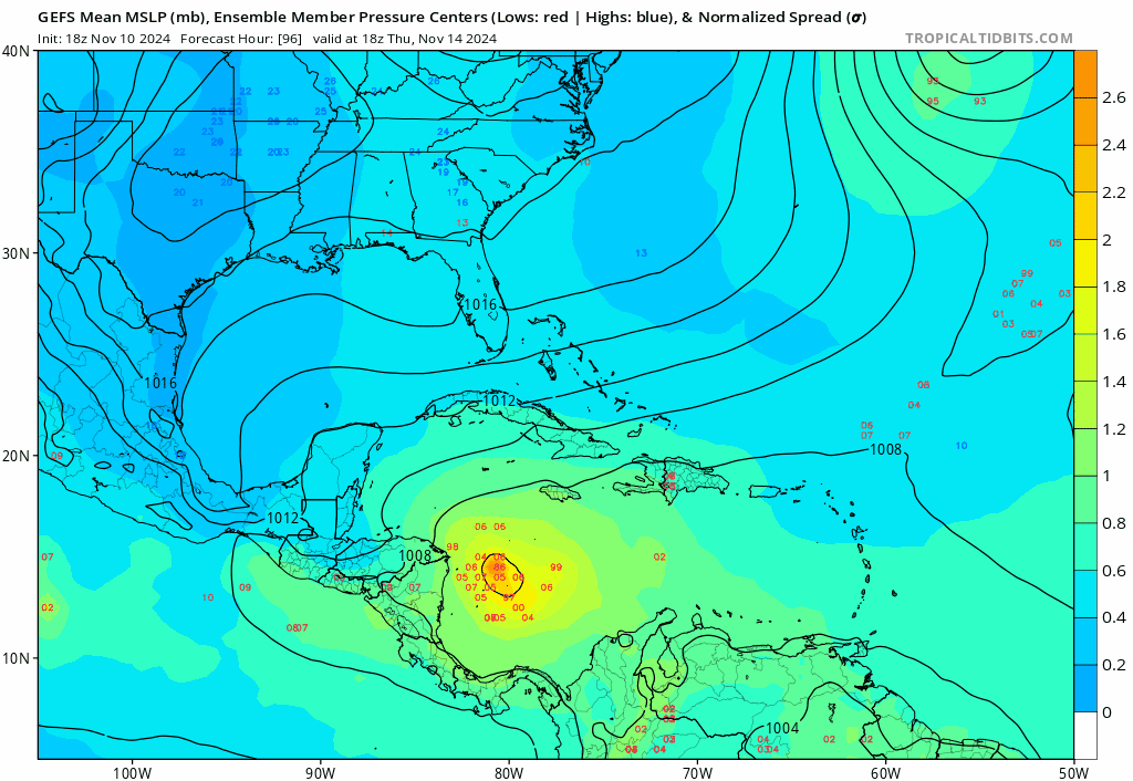
All hurricane models for 98L eventually snap over to the Caribbean disturbance and show it starting off as a broad, monsoonal disturbance with an abnormally low pressure for its winds and near-perfect upper-lever conditions. This setup reminds me a lot of Wilma’s genesis imo.


They also show this storm moving slowly due to two 500 mbar ridges sandwiching the low and thus causing weak steering currents with no nearby troughs to lift it N.

Obviously, this is far out on the hurricane models, and this disturbance doesn’t have its own hurricane model runs, but I think it’s worth mentioning since there is a clear signal here.