


Western Caribbean Area of Interest: (Is INVEST 90L)
Moderator: S2k Moderators
Forum rules

The posts in this forum are NOT official forecasts and should not be used as such. They are just the opinion of the poster and may or may not be backed by sound meteorological data. They are NOT endorsed by any professional institution or STORM2K. For official information, please refer to products from the National Hurricane Center and National Weather Service.
Re: Western Caribbean Area of Interest
Finally the UKmet is showing something but very slow compared to the other models. I have been patiently waiting for the UKmet which I respect as one of the reliable models. Interested to see where it ends up as the timeframe goes out.
1 likes
The following post is NOT an official forecast and should not be used as such. It is just the opinion of the poster and may or may not be backed by sound meteorological data. It is NOT endorsed by any professional institution including storm2k.org For Official Information please refer to the NHC and NWS products.
Re: Western Caribbean Area of Interest
The earliest on record TS to hit the US Gulf coast W of FL is 5/30's Arlene, which hit LA with 45 mph winds/1000 mb in 1959. So, this has a chance to make history.
1 likes
Personal Forecast Disclaimer:
The posts in this forum are NOT official forecasts and should not be used as such. They are just the opinion of the poster and may or may not be backed by sound meteorological data. They are NOT endorsed by any professional institution or storm2k.org. For official information, please refer to the NHC and NWS products.
The posts in this forum are NOT official forecasts and should not be used as such. They are just the opinion of the poster and may or may not be backed by sound meteorological data. They are NOT endorsed by any professional institution or storm2k.org. For official information, please refer to the NHC and NWS products.
Re: Western Caribbean Area of Interest
The cmc has a different story and has been constant for the last few runs. Doesn't look like it will make it that far west due to the shear.
0 likes

Re: Western Caribbean Area of Interest
For the moment, its presently stacking up as EURO & CMC in the N. Gulf verses GFS & NOGAPS more toward Florida to N.C.
1 likes
Andy D
(For official information, please refer to the NHC and NWS products.)
(For official information, please refer to the NHC and NWS products.)
-
BYG Jacob
Re: Western Caribbean Area of Interest
Alyono wrote:so the EC looks like it wants to produce a Harvey-like flood...
4 days in basically the same place?
New Orleans dies v2: Electric boogaloo?
0 likes
-
cycloneye

- Admin

- Posts: 149370
- Age: 69
- Joined: Thu Oct 10, 2002 10:54 am
- Location: San Juan, Puerto Rico
Re: Western Caribbean Area of Interest
Does anyone has the % of EC ensemble members on the 12z run? 00z was at 50%.
0 likes
Visit the Caribbean-Central America Weather Thread where you can find at first post web cams,radars
and observations from Caribbean basin members Click Here
and observations from Caribbean basin members Click Here

Re: Western Caribbean Area of Interest
BYG Jacob wrote:Alyono wrote:so the EC looks like it wants to produce a Harvey-like flood...
4 days in basically the same place?
New Orleans dies v2: Electric boogaloo?
Uh if it shunts west and hangs out over Houston, yikes.
0 likes
Personal Forecast Disclaimer:
The posts in this forum are NOT official forecast and should not be used as such. They are just the opinion of the poster and may or may not be backed by sound meteorological data. They are NOT endorsed by any professional institution or storm2k.org. For official information, please refer to the NHC and NWS products.
The posts in this forum are NOT official forecast and should not be used as such. They are just the opinion of the poster and may or may not be backed by sound meteorological data. They are NOT endorsed by any professional institution or storm2k.org. For official information, please refer to the NHC and NWS products.
-
srainhoutx

- S2K Supporter

- Posts: 6919
- Age: 68
- Joined: Sun Jan 14, 2007 11:34 am
- Location: Haywood County, NC
- Contact:
Re: Western Caribbean Area of Interest
The afternoon Updated Day 7 surface chart from the Weather Prediction Center has a weak surface low South of the Louisiana Gulf Coast next Sunday.
1 likes
Carla/Alicia/Jerry(In The Eye)/Michelle/Charley/Ivan/Dennis/Katrina/Rita/Wilma/Ike/Harvey
Member: National Weather Association
Wx Infinity Forums
http://wxinfinity.com/index.php
Facebook.com/WeatherInfinity
Twitter @WeatherInfinity
Member: National Weather Association
Wx Infinity Forums
http://wxinfinity.com/index.php
Facebook.com/WeatherInfinity
Twitter @WeatherInfinity
-
Dylan

- Professional-Met

- Posts: 338
- Age: 31
- Joined: Mon May 31, 2010 9:50 am
- Location: New Orleans, LA
Re: Western Caribbean Area of Interest
12z European along with its ensemble members continue to lock in on a tropical storm impact for the north-central Gulf Coast by next weekend. The system will be weak, but I'm very concerned about the track. European is hinting at steering currents weakening, and as a result, the system slows down as it approaches the coast, and traversing the Louisiana coast for several days. This would cause catastrophic rainfall and coastal flooding to an area that is extremely vulnerable.
3 likes
Georges('98), Allison('01), Isidore('02), Lili('02), Frances('04) Ivan('04), Cindy('05), Katrina('05), Rita('05), Gustav('08), Isaac('12), Matthew('16), Harvey('17), Irma('17), Nate ('17), Ida ('21).
-
gatorcane

- S2K Supporter
- Posts: 23708
- Age: 48
- Joined: Sun Mar 13, 2005 3:54 pm
- Location: Boca Raton, FL
Re: Western Caribbean Area of Interest
Noticeable spin north of Honduras/Nicaragua Border, with convection sheared to the east:
http://rammb.cira.colostate.edu/ramsdis ... display=12
http://rammb.cira.colostate.edu/ramsdis ... display=12
0 likes
-
stormlover2013
-
sfwx

- Category 1

- Posts: 371
- Age: 60
- Joined: Thu Sep 04, 2003 1:53 pm
- Location: Rural St. Lucie County, Fl
Re: Western Caribbean Area of Interest
Area Forecast Discussion
National Weather Service Melbourne FL
335 PM EDT Sun May 20 2018
.DISCUSSION...
Tue-Sun...The Atlantic ridge axis will remain the dominant weather
feature with a moist south to southeast flow keeping rain chances
above normal (50 to 60 percent) most days supporting mainly daytime
showers and storms. The ridge axis is forecast to gradually shift
southward and weaken during mid to late week as a trough develops
over the Southeast US. A slight reduction in the deep moisture by
Wed will allow rain chances to decrease to 30-40 percent for most
areas. It will remain humid with max temps in the mid 80s.
Both GFS and ECMWF show a mid level trough developing over the
Gulf of Mexico late in the week. The GFS retrogrades a piece of
energy SW from the base of a departing shortwave trough off the US
east coast. The real difference is how each model handles lower
pressure at the surface. The ECMWF continues to show low pressure
developing directly underneath the upper low over the central Gulf
on Fri. This looks suspect as the best support for sfc low
pressure would be to the ascending (east) side of the upper low,
closer to the GFS solution. But both models show deep tropical
moisture overspreading the FL peninsula during the first part of
the upcoming holiday weekend which will prompt high rain chances
with a threat for heavy rain and localized flooding due to already
wet conditions.
SHORT TERM/LONG TERM...Lascody
0 likes
Re: Western Caribbean Area of Interest
GFS is now the only model not developing this. The other models are trending toward a more tropical solution, while GFS has it being blasted by a strong upper trough
0 likes
Re: Western Caribbean Area of Interest
sfwx wrote:Area Forecast Discussion
National Weather Service Melbourne FL
335 PM EDT Sun May 20 2018
.DISCUSSION...
Tue-Sun...The Atlantic ridge axis will remain the dominant weather
feature with a moist south to southeast flow keeping rain chances
above normal (50 to 60 percent) most days supporting mainly daytime
showers and storms. The ridge axis is forecast to gradually shift
southward and weaken during mid to late week as a trough develops
over the Southeast US. A slight reduction in the deep moisture by
Wed will allow rain chances to decrease to 30-40 percent for most
areas. It will remain humid with max temps in the mid 80s.
Both GFS and ECMWF show a mid level trough developing over the
Gulf of Mexico late in the week. The GFS retrogrades a piece of
energy SW from the base of a departing shortwave trough off the US
east coast. The real difference is how each model handles lower
pressure at the surface. The ECMWF continues to show low pressure
developing directly underneath the upper low over the central Gulf
on Fri. This looks suspect as the best support for sfc low
pressure would be to the ascending (east) side of the upper low,
closer to the GFS solution. But both models show deep tropical
moisture overspreading the FL peninsula during the first part of
the upcoming holiday weekend which will prompt high rain chances
with a threat for heavy rain and localized flooding due to already
wet conditions.
SHORT TERM/LONG TERM...Lascody
I would take some issue with that discussion. Directly underneath an upper low is actually a fairly favorable place for tropical development as the shear is light and there are cold upper temperatures. We see this kind of development quite often in the north Atlantic late in the season.
I know what the forecaster is saying in that QG theory favors baroclinic development downstream of the upper trough (in this case to the east). However, the EC solution is also physically possible and seems to be what most models are gravitating towards. I do not remember this occurring in he Gulf, however. Usually over the N Atlantic or the Med
2 likes
-
bamajammer4eva
- Category 4

- Posts: 907
- Joined: Sun Apr 18, 2010 3:21 am
- Location: Ozark, AL
Re: Western Caribbean Area of Interest
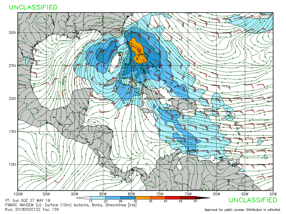
I don't see a shear map for the Euro but Canadian has the same shear conditions as GFS and pushes through the shear and develops it anyway while developing anticyclone over top of it.

0 likes
-
Dean4Storms
- S2K Supporter
- Posts: 6358
- Age: 63
- Joined: Sun Aug 31, 2003 1:01 pm
- Location: Miramar Bch. FL
Re: Western Caribbean Area of Interest
cycloneye wrote:Does anyone has the % of EC ensemble members on the 12z run? 00z was at 50%.
60% Probability of TD between NO and Mobile, AL at hours 144-192 and TS probs at 20%.
0 likes
-
wxman57

- Moderator-Pro Met

- Posts: 23172
- Age: 68
- Joined: Sat Jun 21, 2003 8:06 pm
- Location: Houston, TX (southwest)
Re: Western Caribbean Area of Interest
cycloneye wrote:Does anyone has the % of EC ensemble members on the 12z run? 00z was at 50%.
73%, Luis, but I don't buy the EC solution at all. I think the GFS solution of a weak low tracking across south Florida next weekend is more likely. Way too much shear across the Gulf, and the EC doesn't do well in that kind of environment.
4 likes
-
Dean4Storms
- S2K Supporter
- Posts: 6358
- Age: 63
- Joined: Sun Aug 31, 2003 1:01 pm
- Location: Miramar Bch. FL
Re: Western Caribbean Area of Interest
Alyono wrote:sfwx wrote:Area Forecast Discussion
National Weather Service Melbourne FL
335 PM EDT Sun May 20 2018
.DISCUSSION...
Tue-Sun...The Atlantic ridge axis will remain the dominant weather
feature with a moist south to southeast flow keeping rain chances
above normal (50 to 60 percent) most days supporting mainly daytime
showers and storms. The ridge axis is forecast to gradually shift
southward and weaken during mid to late week as a trough develops
over the Southeast US. A slight reduction in the deep moisture by
Wed will allow rain chances to decrease to 30-40 percent for most
areas. It will remain humid with max temps in the mid 80s.
Both GFS and ECMWF show a mid level trough developing over the
Gulf of Mexico late in the week. The GFS retrogrades a piece of
energy SW from the base of a departing shortwave trough off the US
east coast. The real difference is how each model handles lower
pressure at the surface. The ECMWF continues to show low pressure
developing directly underneath the upper low over the central Gulf
on Fri. This looks suspect as the best support for sfc low
pressure would be to the ascending (east) side of the upper low,
closer to the GFS solution. But both models show deep tropical
moisture overspreading the FL peninsula during the first part of
the upcoming holiday weekend which will prompt high rain chances
with a threat for heavy rain and localized flooding due to already
wet conditions.
SHORT TERM/LONG TERM...Lascody
I would take some issue with that discussion. Directly underneath an upper low is actually a fairly favorable place for tropical development as the shear is light and there are cold upper temperatures. We see this kind of development quite often in the north Atlantic late in the season.
I know what the forecaster is saying in that QG theory favors baroclinic development downstream of the upper trough (in this case to the east). However, the EC solution is also physically possible and seems to be what most models are gravitating towards. I do not remember this occurring in he Gulf, however. Usually over the N Atlantic or the Med
I put the 6hr precip of the ECM into motion and it does begin wrapping convection inward to a point on Friday that deep convection is right under the Upper Low.
0 likes
Who is online
Users browsing this forum: ljmac75 and 75 guests