#210 Postby Blown Away » Sat Nov 05, 2022 2:10 pm
chaser1 wrote:jlauderdal wrote:chaser1 wrote::uarrow:
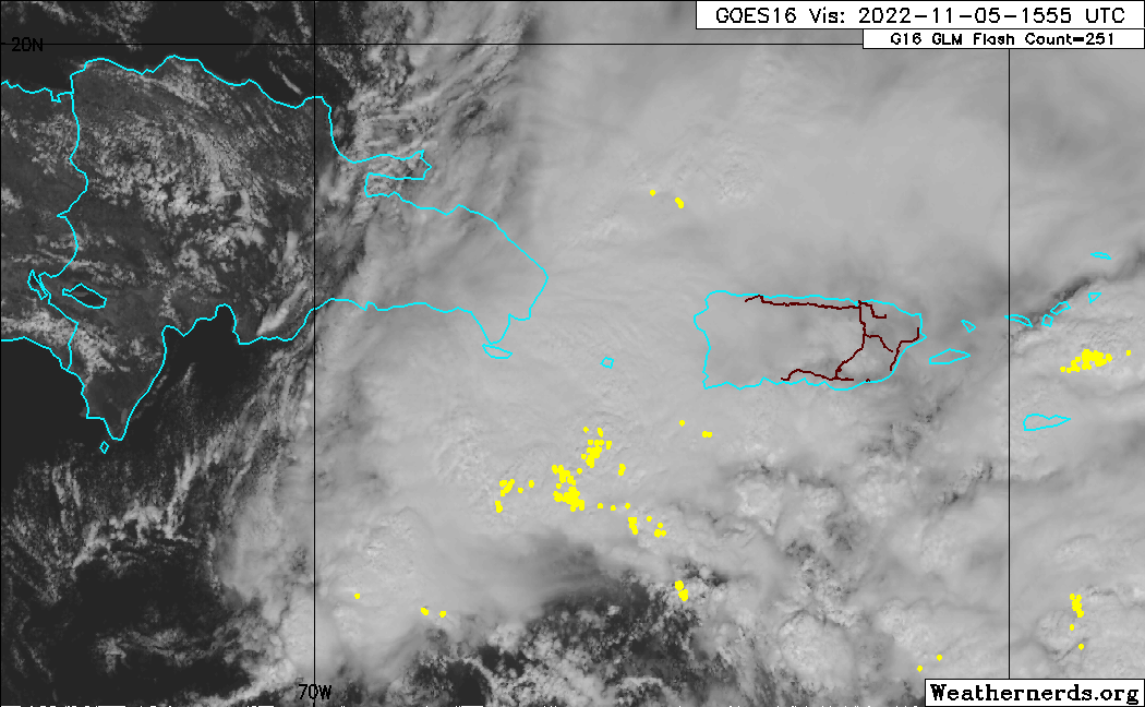
That "40% within 48 hr.s" is a bit disconcerting considering only a broad area low pressure. GCANE may be right about that small spin southwest of PR. I assumed it would simply be the first of multiple eddies until a more cohesive LLC were to try and develop north of the Greater Antilles under a more centralized convective mass.
Get concerned at 70+
For me at least, "real concern" will begin with an increase in <990 mb model support

That's when very interesting morphs into very concerning
990 mb can be a solid 75-85 mph hurricane with gusts over 90 mph and it could be developing as it approaches FL.
0 likes
Hurricane Eye Experience: David 79, Irene 99, Frances 04, Jeanne 04, Wilma 05… Hurricane Brush Experience: Andrew 92, Erin 95, Floyd 99, Matthew 16, Irma 17, Ian 22, Nicole 22…