


South of Southern Mexico and Central America:
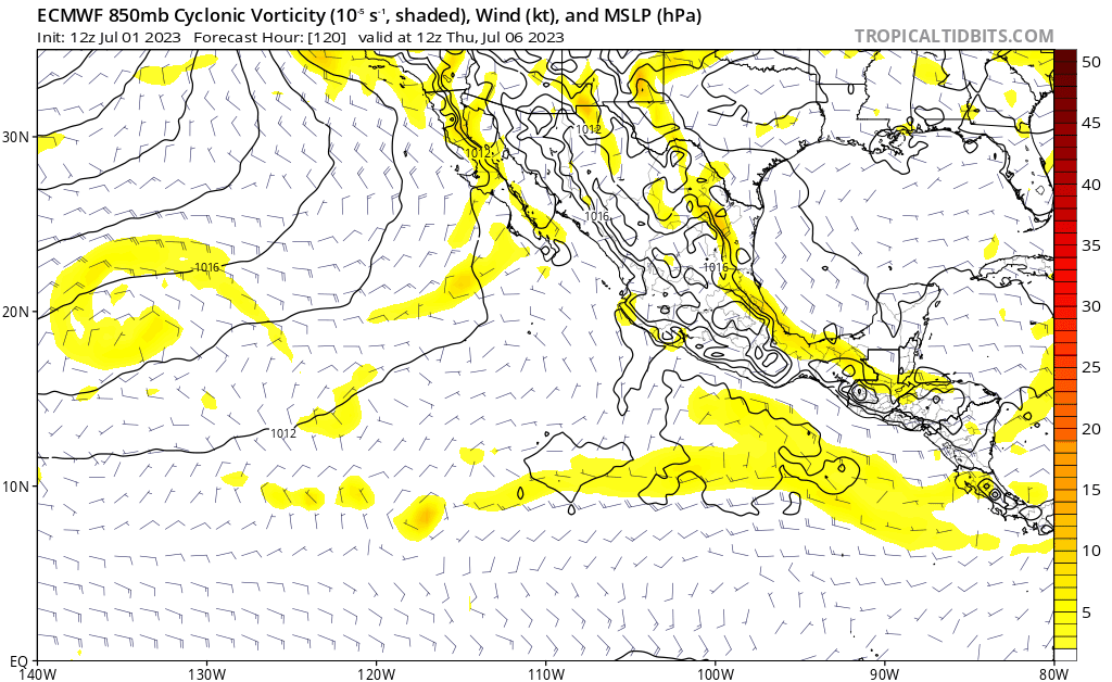
A broad area of low pressure located a few hundred miles south of
the coasts of Guatemala and El Salvador is producing an area of
disorganized showers and thunderstorms. Some gradual development
of this system is possible during the next several days, and a
tropical depression is likely to form during the middle to latter
part of this week while it moves slowly west-northwestward to
northwestward, roughly parallel to the southern and southwestern
coasts of Mexico.
* Formation chance through 48 hours...low...30 percent.
* Formation chance through 7 days...high...70 percent.


