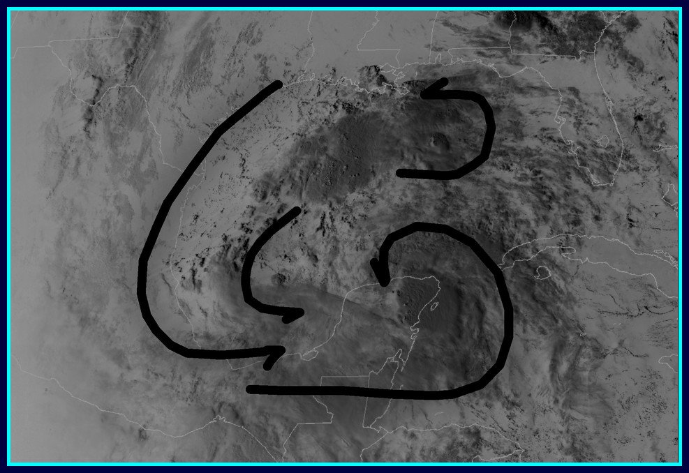
South Texas Storms wrote:0z UKMET looks similar to its 12z run and the 0z Canadian. Stalls a weak low in south TX for several days leading to some very heavy rainfall totals.
THIS IS AN AWESOME TREND!!!!
Moderator: S2k Moderators


South Texas Storms wrote:0z UKMET looks similar to its 12z run and the 0z Canadian. Stalls a weak low in south TX for several days leading to some very heavy rainfall totals.


South Texas Storms wrote:0z UKMET looks similar to its 12z run and the 0z Canadian. Stalls a weak low in south TX for several days leading to some very heavy rainfall totals.


000
ABNT20 KNHC 170502
TWOAT
Tropical Weather Outlook
NWS National Hurricane Center Miami FL
200 AM EDT Sun Jun 17 2018
For the North Atlantic...Caribbean Sea and the Gulf of Mexico:
The combination of a surface trough and an upper-low is producing a
large but disorganized area of showers and thunderstorm primarily
over the central Gulf of Mexico. This system is producing strong
gusty winds to the northeast of the trough. Environmental conditions
do not support significant development, however, heavy rains and
gusty winds are likely to spread across the central Gulf of Mexico
on Saturday. This activity will reach portions of the Texas and
southwestern Louisiana coasts on Sunday. For more details on this
system please see products issued by your local weather office and
High Seas Forecasts issued by the National Weather Service.
* Formation chance through 48 hours...low...20 percent.
* Formation chance through 5 days...low...20 percent.
&&
High Seas Forecasts issued by the National Weather Service can be
found under AWIPS header NFDHSFAT1, WMO header FZNT01 KWBC, and
on the Web at https://ocean.weather.gov/shtml/NFDHSFAT1.shtml.
$$
Forecaster Avila
Haris wrote:im staying up for the euro!
Im predicting a very wet run for TX!!!


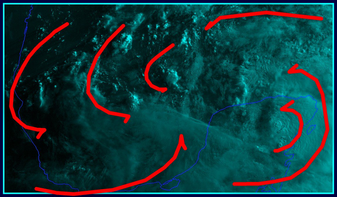
ForexTidbits wrote:WPC 7 day rainfall Outlook
[i mg]http://www.wpc.ncep.noaa.gov/qpf/p168i.gif?1529232977[/img]

Users browsing this forum: No registered users and 104 guests