wxman57 wrote:chaser1 wrote:HurricaneAndre2008 wrote:If recon goes out, then this would be the first time that recon goes out on a system that has not been designated as an invest
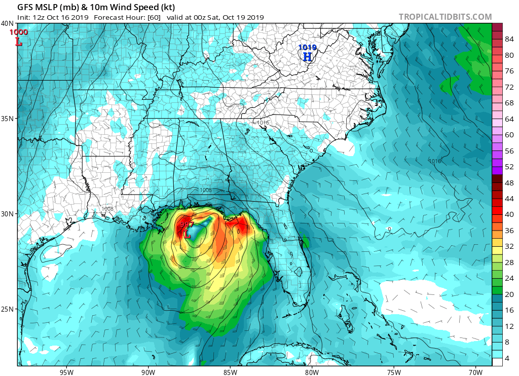
Even though recon is tentatively scheduled to fly out today, i'd be surprised if it did. I'd guess they cancel the flight and fly out tomorrow instead. This system has the earmarks of yet another NHC quick upgrade from an eventual "Potential Tropical Cyclone" event to a 12-18 hr. lifespan "T.S. Nestor" somewhere just south of Pensacola (whether or not there there will be more then one or two verifiable 35 kt. sustained wind obs within 50 miles of the COC is another topic altogether). I would imagine that there could be an enhanced tornado risk over from Mobile Alabama eastward to N. Florida. Right now it looks like the 12Z Icon is coming in a tad bit stronger (approx 1002 mb?) and slightly further east then it's prior model runs
Sounds good, to me. Brief TS that may have a few 35kt winds. Systems like this (moving into increasing westerly wind shear) tend to track farther east with time.
Yep. The models already have trended significantly eastward. We look to get some pretty good rain from this system going into this weekend across Northern Florida.