

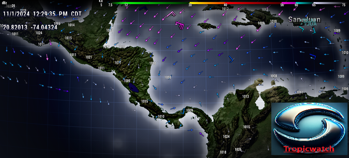
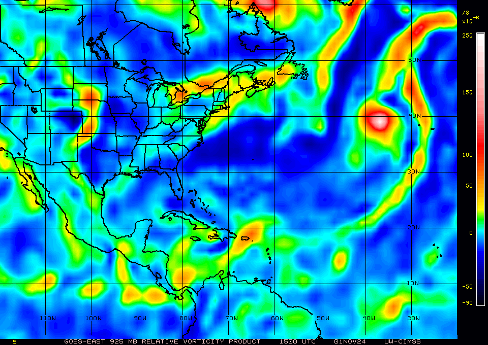
TallyTracker wrote:Michele B wrote:tropicwatch wrote:10m wind field and 925mb vorticity indicate a low might be forming.
https://tropicwatch.info/10mwind110120241729z.png
https://tropicwatch.info/925mb110120241500.jpg
What the H !?!?!?!?
Now there's TWO of them?!?!?!?!
Is this season ever going to end???
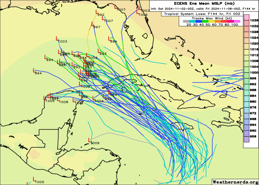
There’s actually 3 areas being monitored with two at Code Orange or higher. Some model runs are hinting at another storm north of Puerto Rico in a week or so as well.
This is….too much….
I’m sure I’m not alone when I say “I am so over this season…”


