Looks like JBs north of due west scenario might actually pan out. There is some model backing now:
18z GFS shows more of of a WNW flow in the 500mb pattern by next Wednesday afternoon as the ridge breaks down a bit...
http://www.nco.ncep.noaa.gov/pmb/nwprod ... _144.shtml
And that continues into Thursday afternoon as the center of the high shifts west...
http://www.nco.ncep.noaa.gov/pmb/nwprod ... _168.shtml
If there is a system in the southern or central GOM at that point, then the path would be more WNW instead of W.
System In Caribbean,Possible Development?
Moderator: S2k Moderators
Forum rules

The posts in this forum are NOT official forecasts and should not be used as such. They are just the opinion of the poster and may or may not be backed by sound meteorological data. They are NOT endorsed by any professional institution or STORM2K. For official information, please refer to products from the National Hurricane Center and National Weather Service.
-
Extremeweatherguy

- Category 5

- Posts: 11095
- Joined: Mon Oct 10, 2005 8:13 pm
- Location: Florida
-
Aric Dunn
- Category 5
- Posts: 21238
- Age: 43
- Joined: Sun Sep 19, 2004 9:58 pm
- Location: Ready for the Chase.
- Contact:
Re:
Extremeweatherguy wrote:Looks like JBs north of due west scenario might actually pan out. There is some model backing now:
18z GFS shows more of of a WNW flow in the 500mb pattern by next Wednesday afternoon as the ridge breaks down a bit...
http://www.nco.ncep.noaa.gov/pmb/nwprod ... _144.shtml
And that continues into Thursday afternoon as the center of the high shifts west...
http://www.nco.ncep.noaa.gov/pmb/nwprod ... _168.shtml
If there is a system in the southern or central GOM at that point, then the path would be more WNW instead of W.
sounds about again.. but like my previous statement it all depends on the shortwave trough how far south and how strong will determine the extent of that wnw motion
0 likes
-
Aric Dunn
- Category 5
- Posts: 21238
- Age: 43
- Joined: Sun Sep 19, 2004 9:58 pm
- Location: Ready for the Chase.
- Contact:
too bad the jamaician radar sucks really really bad http://www.metservice.gov.jm/radarpage.asp
0 likes
-
Aric Dunn
- Category 5
- Posts: 21238
- Age: 43
- Joined: Sun Sep 19, 2004 9:58 pm
- Location: Ready for the Chase.
- Contact:
pressure in jamiaca has been dropping all day .. not just the normal afternoon pressure drops either ..
down to 1009mb lower than the buoy near by or the cayman islands..
http://weather.noaa.gov/weather/current/MKJS.html
you know what i clicked on the wrong one the cayman islands are not that far off 1010 1011 ... ok so not that substantial
down to 1009mb lower than the buoy near by or the cayman islands..
http://weather.noaa.gov/weather/current/MKJS.html
you know what i clicked on the wrong one the cayman islands are not that far off 1010 1011 ... ok so not that substantial
0 likes
-
miamicanes177
- Category 5
- Posts: 1131
- Joined: Tue Aug 01, 2006 10:53 pm
Re: Models show development next week in GOM?
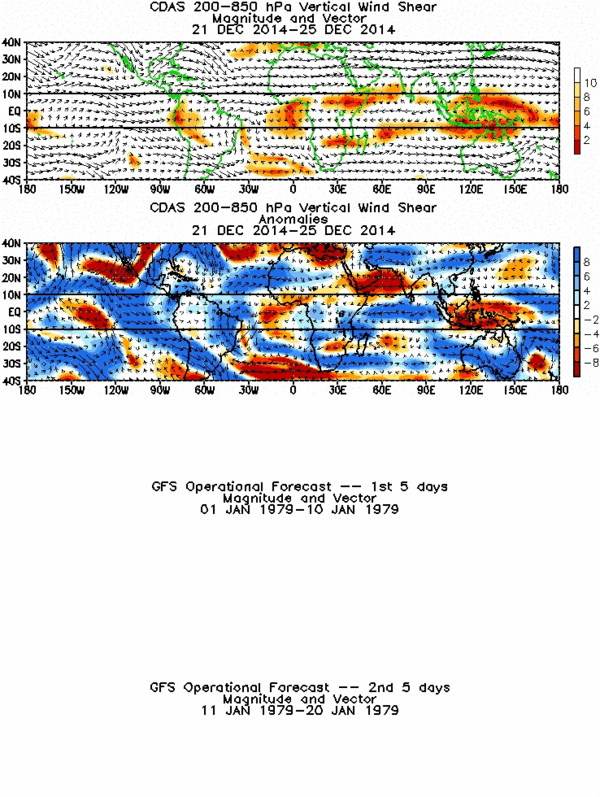
http://www.cpc.ncep.noaa.gov/products/precip/CWlink/MJO/combined_shear_2.gif
this is not working so can someone post a link that gives the forecast shear from the GFS
this is not working so can someone post a link that gives the forecast shear from the GFS
0 likes
-
Aric Dunn
- Category 5
- Posts: 21238
- Age: 43
- Joined: Sun Sep 19, 2004 9:58 pm
- Location: Ready for the Chase.
- Contact:
Re: Models show development next week in GOM?
miamicanes177 wrote:http://www.cpc.ncep.noaa.gov/products/precip/CWlink/MJO/combined_shear_2.gif
this is not working so can someone post a link that gives the forecast shear from the GFS
http://www.nco.ncep.noaa.gov/pmb/nwprod ... loop.shtml
actually gfs builds an upper ridge over the NW carrib in 24 hours
0 likes
-
KFDM Meteorologist

- Professional-Met

- Posts: 1314
- Joined: Tue May 16, 2006 9:52 pm
- Location: Upper Texas Coast/Orange County
Re: Models show development next week in GOM?
If you look at Satellitte closely a ridge above it is already developing.
0 likes
-
Aric Dunn
- Category 5
- Posts: 21238
- Age: 43
- Joined: Sun Sep 19, 2004 9:58 pm
- Location: Ready for the Chase.
- Contact:
Re: Models show development next week in GOM?
KFDM Meteorologist wrote:If you look at Satellitte closely a ridge above it is already developing.
agreed.. as that upper low moves west it appears that we may have a classic tutt set up to help vent this thing!! that might be a bad thing for someone !
I believe at the 00Z analysis it will clearly show the ridge build over that area!!
you can see here from the 18z to the 2100z sear map the the ridge is beginning to move nw follow the ULL

.

0 likes
-
Aric Dunn
- Category 5
- Posts: 21238
- Age: 43
- Joined: Sun Sep 19, 2004 9:58 pm
- Location: Ready for the Chase.
- Contact:
also the upper level divergence has improved drasticlly whuch also confirms the ridge building NW
18z

2100z

This buoy in the NW carrib is interesting
notice the wind shift to NNE
http://www.ndbc.noaa.gov/station_page.php?station=42056
18z
2100z
This buoy in the NW carrib is interesting
notice the wind shift to NNE
http://www.ndbc.noaa.gov/station_page.php?station=42056
0 likes
-
chadtm80
-
Aric Dunn
- Category 5
- Posts: 21238
- Age: 43
- Joined: Sun Sep 19, 2004 9:58 pm
- Location: Ready for the Chase.
- Contact:
CARIBBEAN SEA...
SEVERAL LOW-LEVEL FEATURES ALONG WITH A LARGE AREA OF UPPER
DIFFLUENCE IS PRODUCING A CONSIDERABLE AMOUNT OF MOISTURE OVER
THE CARIB. THE DIFFLUENT UPPER PATTERN CONSISTS OF AN UPPER LOW
APPROACHING THE YUCATAN PENINSULA...TWO UPPER HIGHS NEAR 16N78W
AND 15N65W AND ANOTHER UPPER LOW TO THE N OF THE REGION JUST E
OF THE BAHAMAS. WITHIN THIS MOIST ENVIRONMENT THERE ARE TWO
AREAS WHERE CONVECTION IS FOCUSED. THE MOST PRONOUNCED IS THE N
CENTRAL/W CARIB...INCLUDING JAMAICA AND ERN CUBA N OF 15N
BETWEEN 74W-79W. THIS SCATTERED MODERATE CONVECTION IS BEING
TRIGGERED BY A SFC TROUGH WHICH IS ANALYZED ACROSS THE CENTRAL
BAHAMAS TO THE CENTRAL CARIB SEA ALONG 25N76W 21N78W 15N76W.
SLIGHTLY WEAKER CONVECTION IS OVER THE ERN CARIB FROM 13N-16N
BETWEEN 64W-69W. THIS ACTIVITY IS ASSOCIATED WITH A TROPICAL
WAVE NEAR 70W...REFER TO THE SECTION ABOVE FOR MORE INFO.
SCATTERED SHOWERS ARE POSSIBLE JUST ABOUT ANYWHERE ELSE IN THE
BASIN DUE TO THE MOIST ENVIRONMENT IN PLACE.
0 likes
-
Aric Dunn
- Category 5
- Posts: 21238
- Age: 43
- Joined: Sun Sep 19, 2004 9:58 pm
- Location: Ready for the Chase.
- Contact:
Re:
chadtm80 wrote:Is the system that the models developing, the wave that is in the Caribbean at this time?
yes .. a combination of systems .. A wave and a surface trough but the surface trough near Jamaica i believe is the main focus
0 likes
-
chadtm80
Re: Models show development next week in GOM?
ok so we are talking about the convection here south of Jamaica?

Then I think we should add that info to the title of the thread to try and avoid repeat threads
Then I think we should add that info to the title of the thread to try and avoid repeat threads
0 likes
-
Aric Dunn
- Category 5
- Posts: 21238
- Age: 43
- Joined: Sun Sep 19, 2004 9:58 pm
- Location: Ready for the Chase.
- Contact:
Re: Models show development next week in GOM?
chadtm80 wrote:ok so we are talking about the convection here south of Jamaica?
[img][/img]
Then I think we should add that info to the title of the thread to try and avoid repeat threads
sounds good to me
0 likes
-
MississippiHurricane

- ChatStaff

- Posts: 648
- Age: 41
- Joined: Sat Jul 16, 2005 12:20 am
- Location: Hanover, Maryland
- Contact:
-
Derek Ortt
-
Weatherfreak14

- Category 5
- Posts: 1381
- Joined: Sat Sep 24, 2005 3:40 pm
- Location: Beaufort, SC
- Contact:
Re: Sysetem In Caribbean being developed by models
Every thing is now changing, the season has started to act up with two possible systems by next week, If this develops which will be dean first?
0 likes

Re: Sysetem In Caribbean being developed by models
Personally I don't think the storm coming off Africa will really start till develop until this one in the Carribean is almost done. Just my guess.
0 likes
Who is online
Users browsing this forum: South Texas Storms and 136 guests