
source: https://weather.us/model-charts/gbr/2022082700/623-w-130-n/sea-level-pressure/20220903-0000z.html
Moderator: S2k Moderators


tolakram wrote:This is the end of the UKMET 0Z run at 168 hours
https://i.imgur.com/qmbTJly.png
source: https://weather.us/model-charts/gbr/2022082700/623-w-130-n/sea-level-pressure/20220903-0000z.html


USTropics wrote:tolakram wrote:This is the end of the UKMET 0Z run at 168 hours
https://i.imgur.com/qmbTJly.png
source: https://weather.us/model-charts/gbr/2022082700/623-w-130-n/sea-level-pressure/20220903-0000z.html
Both the ECMWF and UKMET have concerning upper-level steering environments:
https://i.imgur.com/wAjn64Z.png
https://i.imgur.com/Cip7Ku3.png
Meanwhile, GFS displaces the high pressure area further east:
https://i.imgur.com/vd4uNIc.png
The main issue is the GFS's inability to resolve the upper-level environment off of the east coast. Here is the last 8 runs of the GFS:
https://i.ibb.co/Q67VzLJ/gfs-z850-vort-atl-fh132-trend-1.gif
One of the reasons for this is the modeled storm in the GOM. At the very upper-levels (200mb), adiabatic processes impinges on the jet stream over NA:
https://i.imgur.com/oVpMN1p.png
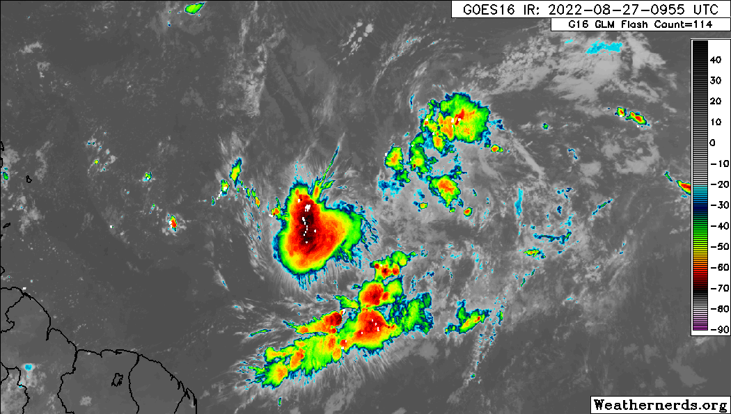
skyline385 wrote:Still very broad circulation, has a bit to go probably better TCG
https://uploads.tapatalk-cdn.com/20220827/b030827da14af431264f86138d1351f7.gif
Sent from my iPhone using Tapatalk


AutoPenalti wrote:I don’t know about y’all but this is giving me Irma/Dorian vibes…
I’m hell bent on watching the evolution of this wave.

NDG wrote:Time to declare this an Invest, clear much better defined surface circulation near 13N & 38.5W
https://i.imgur.com/sr9fxCD.gif

SFLcane wrote:NDG wrote:Time to declare this an Invest, clear much better defined surface circulation near 13N & 38.5W
https://i.imgur.com/sr9fxCD.gif
I wouldn't call an invest until it can maintain some convection.

SFLcane wrote:Taking a closer look at the euro data from what i see the ridge is clearly protecting Florida in this case hence recurves on the eps. Path of least resistance is NE away from Florida. Could meander in the Bahamas like Dorian.
https://i.postimg.cc/SRfrJX1b/EFE3-F495-8278-469-C-9-AEB-9-ED893-B480-D1.jpg
sma10 wrote:Those looking at the system and expecting it to "take off" are likely in for a short term disappointment. The Euro doesn't even get this under 1008 mb until at least Wednesday

Users browsing this forum: cainjamin, Kingarabian, pepecool20 and 147 guests
