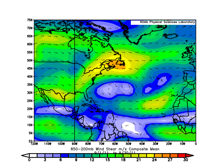
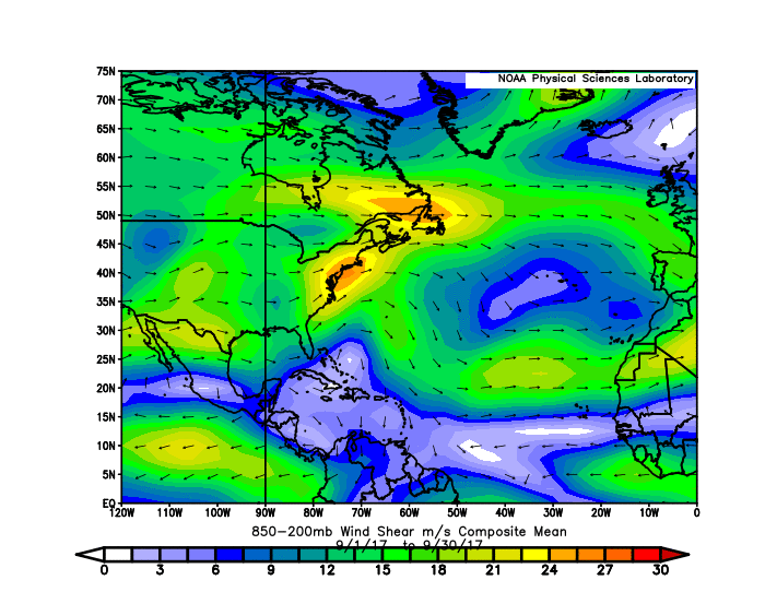
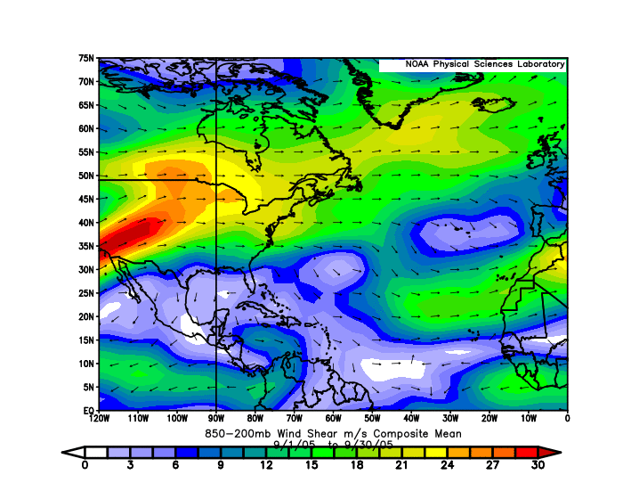
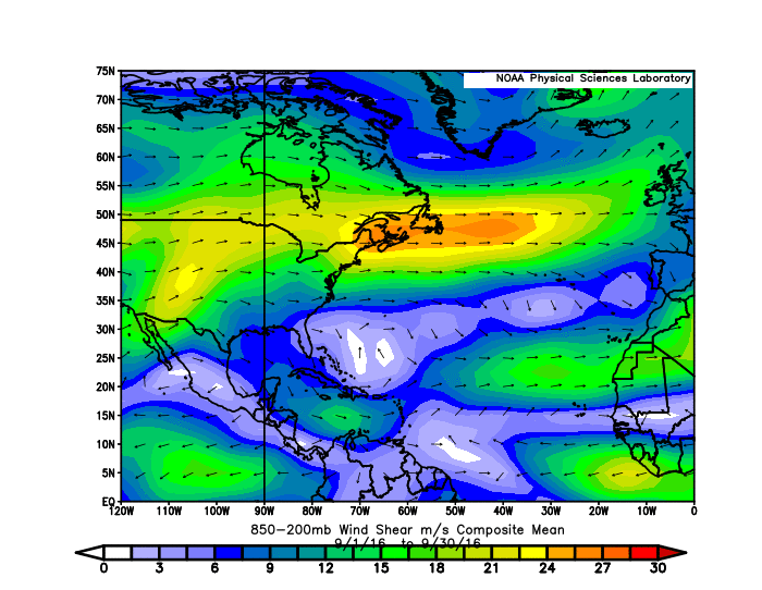
aspen wrote:If Pamela forms and somehow manages to become a curve-into-Mexico Cat 5, that would be a huge sign that something isn’t right with the atmosphere. Only four other storms like this have been recorded — Kenna ‘02, Rick ‘09, Patricia ‘15, and Willa ‘18 — and have only been seen in +ENSO years. This ranges from the warm-neutral/weak Niño 2018 to the Super Niño 2015, with 2002 and 2009 falling in between. By contrast, 2021 is heading into a moderate La Niña, with Niño 3.4 regions having cooled all the way down to -0.6C average. Seeing a +ENSO specific phenomena in a significant -ENSO year means the atmosphere is not responding correctly to the cooling of the ENSO regions. Maybe it’s a sign that 2022 will be a +ENSO year?
Personally, I don't think we will see a Cat 5, and I still think it is way too early to make judgements about the 2022's ENSO phase. From all I understand, the Atlantic has been active this season and the EPAC not so much, which is a classic pattern you would see in a moderate La Nina year. Now it is interesting to note, but the EPAC can still get major hurricanes in October in a La Nina year (Lester in 1998, Norbert in 2008, Kenneth in 2011, and Sandra in 2016 as examples), and if anything I would say that the ceiling for Pamela would realistically be a 3/4. Also worth mentioning while it is still very early, if we were to have a late-peaking moderate La Nina this year, then that could discourage the chances of a significant El Nino from actually happening in 2022, and this is not accounting for the potential strong WAM's effects as we have seen in recent years persist. I will also say that a recurving Cat 5 in the EPAC does not have any noticeable impact on the following year's ENSO state; 2003 was a warm neutral, 2010 was a moderate La Nina, 2016 was a weak La Nina, and 2019 was a cool neutral.
Unless explicitly stated, all information in my posts is based on my own opinions and observations. Tropical storms and hurricanes can be extremely dangerous. Refer to an accredited weather research agency or meteorologist if you need to make serious decisions regarding an approaching storm.