

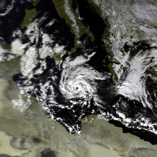
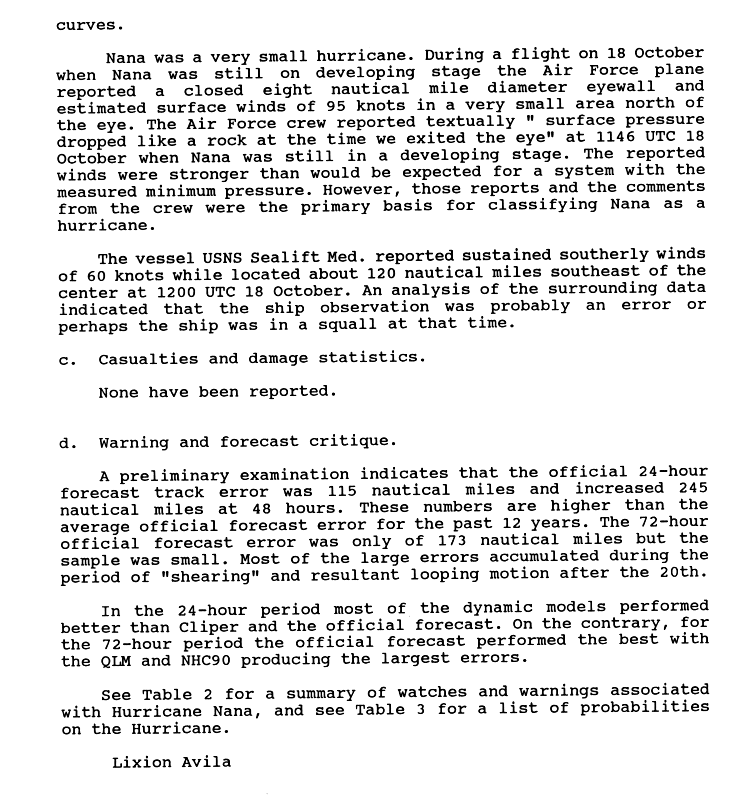
Hurricane Nana. This thing was tiny
Moderator: S2k Moderators


Arkestra wrote:I wonder how Catarina was monitored. Was it by the NHC? Any chance to find discussions on this storm?


Mecklenburg wrote:
i found this one weird... forming at unusually low latitude of 2 degrees N, then became category 4 at 5 degrees N
this one strengthened top Cat 5 while inland... weird...
maintained TD strengh for a very long time while inland
it's unusual to maintain a typhoon intesity for a long ling in central north atlantic due to cold temps...
what a straight track...
doing somersaults...


bob rulz wrote:Speaking of the one on Lake Huron, what about the cyclones that have formed in the Mediterranean Sea?
How about this one on January 15, 1995!
Truly one of the strangest things I know of. It had winds of up to 85mph and was over waters of just 61F.
http://en.wikipedia.org/wiki/Mediterran ... 18.2C_1995

Normandy wrote:HalloweenGale wrote:
Hurricane Nana. This thing was tiny
That has to be one of the smallest TC's ever recorded....anyone got the wind radii info on Nana?

Users browsing this forum: bird and 140 guests


