

LarryWx wrote:sma10 wrote:SouthFLTropics wrote:
I can give you a late August track...Charley formed in the Southern Antilles and tracked WNW to just west of Jamaica before making its move north over Cuba and to Punta Gorda.
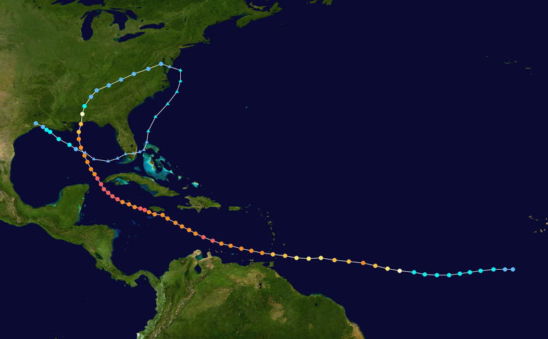
Yes, my point exactly. It's been an extremely long time since we've seen a Cabo Verde system track into the Eastern Caribbean, cross the Caribbean, and then curve into Cuba/Florida in October. In fact, I can't remember even 1 instance
Usually this time of year I don't even bother looking at Africa any more because anything that develops in that area of the Atlantic post 9/25 or so, is almost always a sure-fire recurve before the islands. Very interesting track, if it is realized.
About the only way something makes it all of the way across this late in Sep. is if it doesn't develop into a TC before 50W in most cases. The latest TC genesis of any storm E of 50W that made it all of the way to the Conus is 9/25.
Not surprised by this stat Larry. It will be interesting to watch this pouch as it's progged to only reach 35W by 9/25. Even so, the Euro/GFS are not bullish on development until after 50W so I imagine this won't challenge the genesis record.


