WeatherEmperor wrote:
Hurricane Inez hit the Florida Keys in 1966 and Hurricane David hit Palm Beach county in 1979. Both cyclones produced sustained hurricane force winds in South Florida. Hurricane Floyd of 1987 technically showed as making landfall in the Florida Keys as a hurricane...but I dont know for sure if it counts because it was undergoing extra tropical transition right around the time it was making landfall in the Keys. Sustained hurricane force winds would not occur in South Florida again until Andrew in 1992. Not quite the 7 years or so average that Bocadude was referring to...but it did happen in the timeframe you mentioned. Just sayin...
Sent from my HTC EVO 4G LTE
Thanks for reminding me about Inez. You are correct on it producing sustained hurricane winds in the Florida Keys; but it did not on the peninsula. I flew to Miami from FSU to "intercept" and was highly disappointed as cold air aloft intruded into the core as the eye sat stationary over the Bahamas and weakened what was once the "Great Hurricane Inez" in the Caribbean. Eventually a ridge built and the center tracked WSW into the upper Keys and by the time it reached Key West the maximum winds were in the order of 125 mph. But when it came south of Miami, beginning to intensify, the highest wind on the mainland was a GUST of 80 mph at Homestead. Hence, this was the first year of a 27 year drought of sustained hurricane winds in the S. Florida peninsula. If anyone is interested in the complete report of Inez the parent folder of many pages is located here:
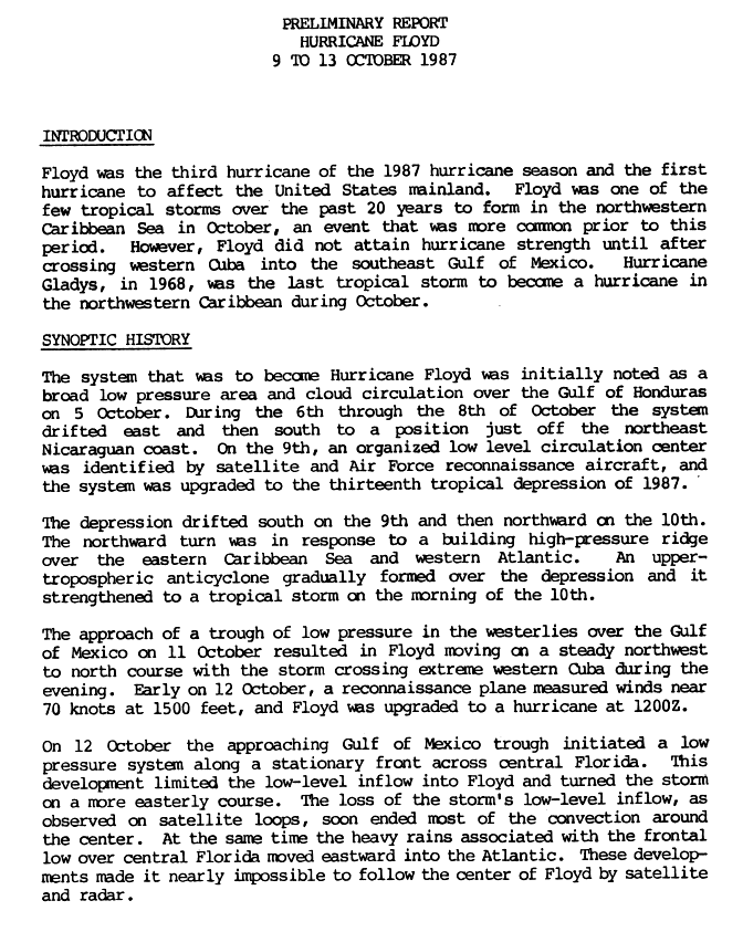
http://www.nhc.noaa.gov/archive/storm_wallets/atlantic/atl1966-prelim/inez/I intercepted the eye of Floyd on the Long Key bridge in 1987. The main thing I remember is that the "eye" was concave shaped on the NE side because dry cold air aloft came crashing into the core as the storm came into the Keys from the WSW. The highest sustained winds reported in Florida was 51 knots at Duck Key; which was just a few miles south of where we were perched on the catwalk of the bridge for many hours. Barely rained at all. The preliminary report is here:
http://www.nhc.noaa.gov/archive/storm_wallets/atlantic/atl1987-prelim/floyd/prelim01.gif David was another super intense hurricane in the Caribbean. Being disappointed that David did not re-intensify as it approached S. Florida I drove north from Miami to intercept the eye at Ft. Pierce inlet; where winds got up to 70 mph sustained---the highest sustained winds reported in the state. It came ashore in N. Palm Beach and the 25 mile eye moved directly along the coast to New Smyrna Beach; hence over many official recording stations. S. Melbourne received the highest gusts, at 75 knts; and Jupiter 74 knots. There were no sustained hurricane winds reported in Florida, as is noted in the NHC report. The preliminary report is here:
http://www.nhc.noaa.gov/archive/storm_wallets/atlantic/atl1979-prelim/david/.
Personally, my disappointment was tempered greatly soon thereafter, as I experienced 135 mph+ wind gusts in Mobile, AL during Frederick, nine days later. As we drove into Mobile and stupidly, but luckily, sat at a red light, half a prefab. gas station broke loose in a nasty gust, and rolled through the intersection in front of our car. We soon found shelter at a school, and I painfully learned that it takes about 85 mph winds to abruptly knock a stout man off his feet.
Of course, the definition of "significant" effects on the mainland of Florida is a subjective judgement in all cases; but what I was questioning was the often referred to 27 year drought of sustained hurricane winds in the Florida "Peninsula" from 1965-1992. I painfully lived through that drought, mostly in Miami.
From 1850 or so till present day, it is the accepted "average" that a hurricane does hit S. Florida once every 7 years; so as Bocadude accurately pointed out, S. Florida is "overdue".


