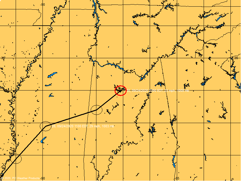
10:35 a.m. update: Tropical Storm Barry is making landfall a little early and farther south than expected, in the Tampa Bay area, forecasters say.
Earlier the storm was predicted to make landfall about noon somewhere between Pasco and Hernando counties. Currently the eye of the storm extends from Tampa Bay westward to the Gulf of Mexico. The heaviest rains are currently over Hillsborough County and Polk counties.
Wind gusts up to 50 and 60 mph have been reported with the storm, which has dropped between 3- and 6-inches of rain. Minor flooding has been reported in Pinellas County. Broken tree limbs, some as large as 8-inches in diameter, were reported in the Carrollwood area of Hillsborough.
Meteorologists say more thunderstorms can be expected throughout the day today as temperatures rise.
Tropical Depression Barry Main Thread
Moderator: S2k Moderators
Forum rules

The posts in this forum are NOT official forecasts and should not be used as such. They are just the opinion of the poster and may or may not be backed by sound meteorological data. They are NOT endorsed by any professional institution or STORM2K. For official information, please refer to products from the National Hurricane Center and National Weather Service.
-
Tampa Bay Hurricane

- Category 5

- Posts: 5598
- Age: 38
- Joined: Fri Jul 22, 2005 7:54 pm
- Location: St. Petersburg, FL
From the Saint Petersburg Times...Storm Reports:
0 likes
-
jasons2k

- Storm2k Executive

- Posts: 8252
- Age: 52
- Joined: Wed Jul 06, 2005 12:32 pm
- Location: The Woodlands, TX
fact789 wrote:
I've been offline, in San Antonio all weekend. I had to rely on TWC to see Barry coverage. I never knew anything other than "Tampa Bay area" until today.
Anyway, this map is scary. Imagine a Cat 4 or 5 with this trek. It would be truly devastating, and this shows that the Tampa Area is not immune to a direct hit.
0 likes
-
JonathanBelles
- Professional-Met

- Posts: 11430
- Age: 35
- Joined: Sat Dec 24, 2005 9:00 pm
- Location: School: Florida State University (Tallahassee, FL) Home: St. Petersburg, Florida
- Contact:
Who is online
Users browsing this forum: No registered users and 33 guests